Oniore Hiking Trail
Posted by : GEadmin@ecotournet.net on 20.May.21
Last update by : GEadmin@ecotournet.net on 28.Oct.21
Oniore Hiking Trail
Length: 16,2 Kilometres
About 10 hours at an average pace
Sightseeing: Martvili Canyon Natural Monument > Toba Waterfall Natural > Monument > Oniore Waterfall Nature Monument > Kaghu Waterfall > Balda Canyon Nature Monument > Balda Monastery
One of the most important issues in planning a hiking trail is to make it attractive in the future, so that the infrastructure and costs incurred are not wasted. One of the reasons for selecting the first hiking trail is that the starting point of the trail is a very active tourist destination – Martvili Canyon. Visitors to the canyon will have information about the route, signs and information boards. It is 5.5 km from Martvili Center to Martvili Canyon, which is 10 minutes’ drive. Therefore, the hikers can easily reach the starting point of the trail. The first selected hiking trail starts from Martvili Canyon and ends near the Balda Monastery.
The planned trail is 16.2 kilometers long, which takes approximately 10 hours to complete. It is a transverse route, starting and ending in two different destinations, and can be started at either ends. The trail is of medium complexity and is characterized by relatively uneven landscape, paved or unpaved sections, small slopes where it may be necessary to use hands or hiking stick to maintain balance. The trail requires basic hiking equipment and hiking skills. It is also recommended to use protective hiking boots for ankles. The minimum altitude of the trail is 235 meters above sea level, while the maximum height is 720 meters. An average height is 459 meters. The maximum inclination is 64.6%, while the average inclination is 11.4%.
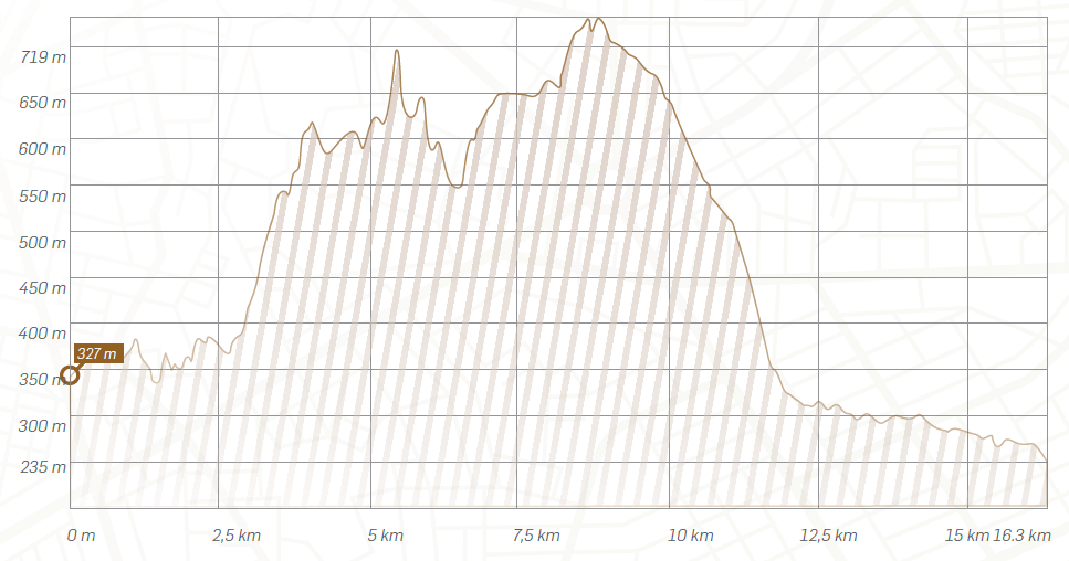 Height profile of the hiking trail
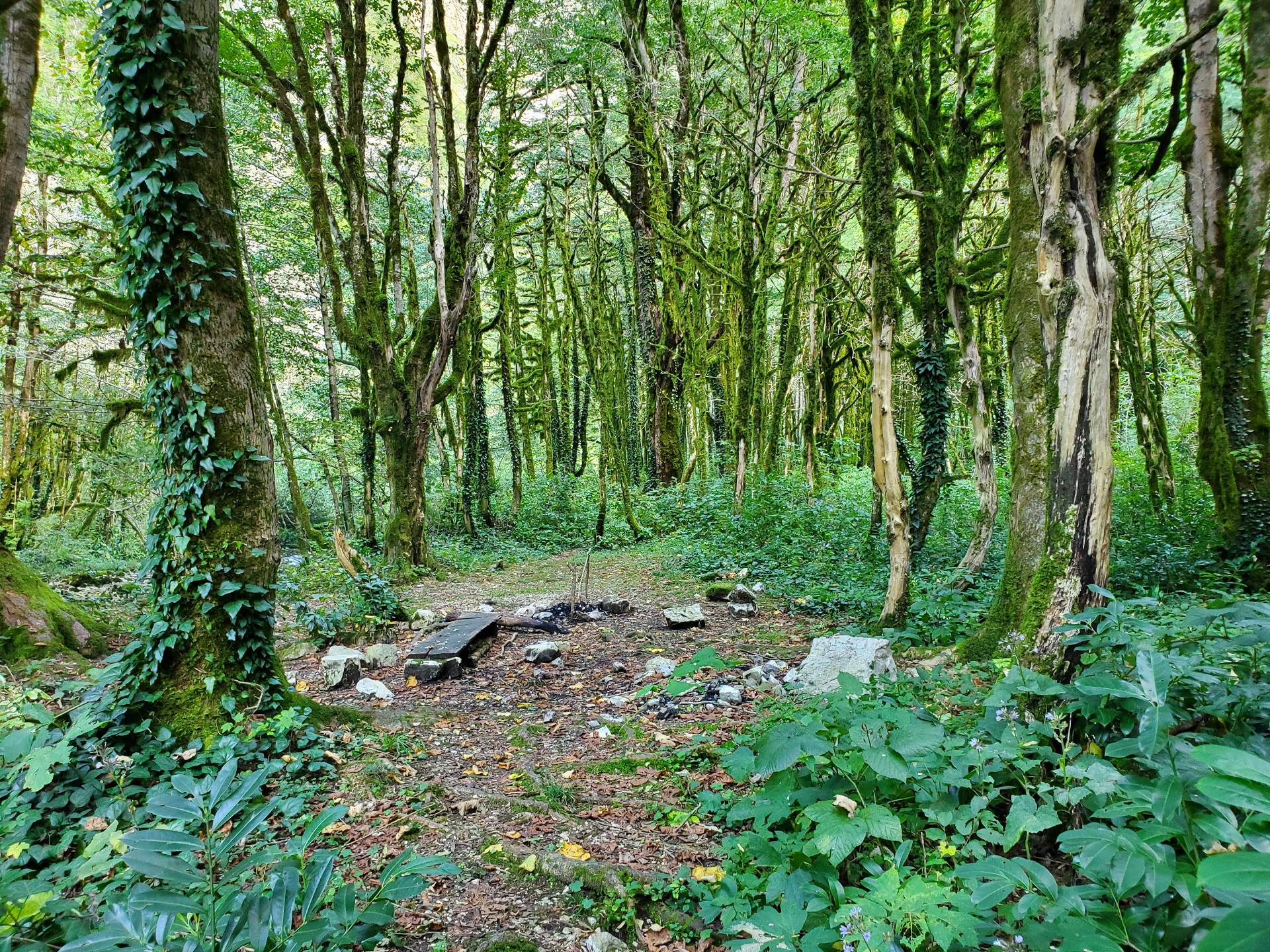 The current picnic area near the Oniorewaterfall
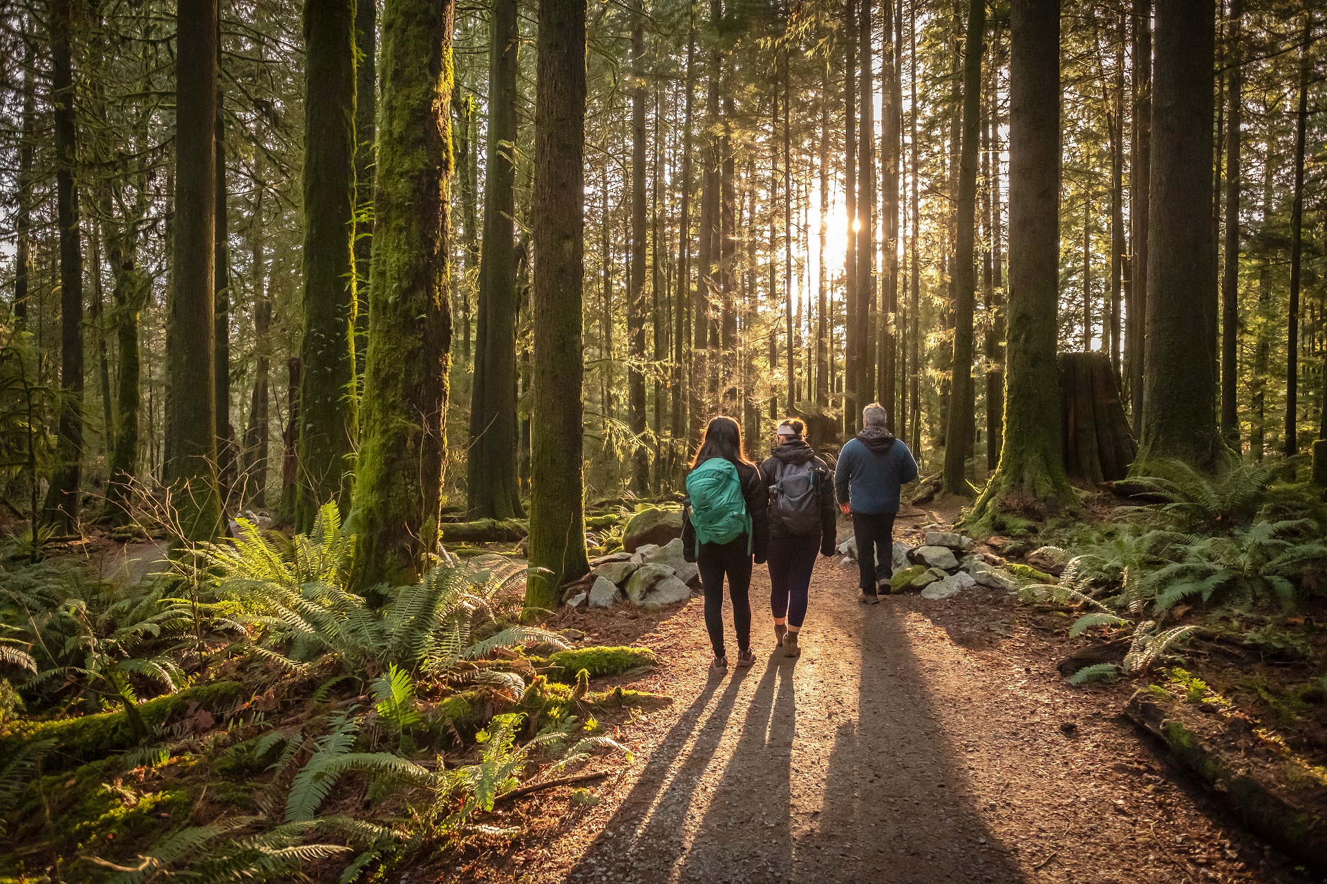
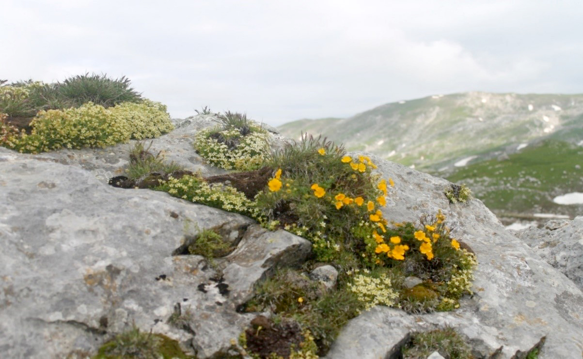
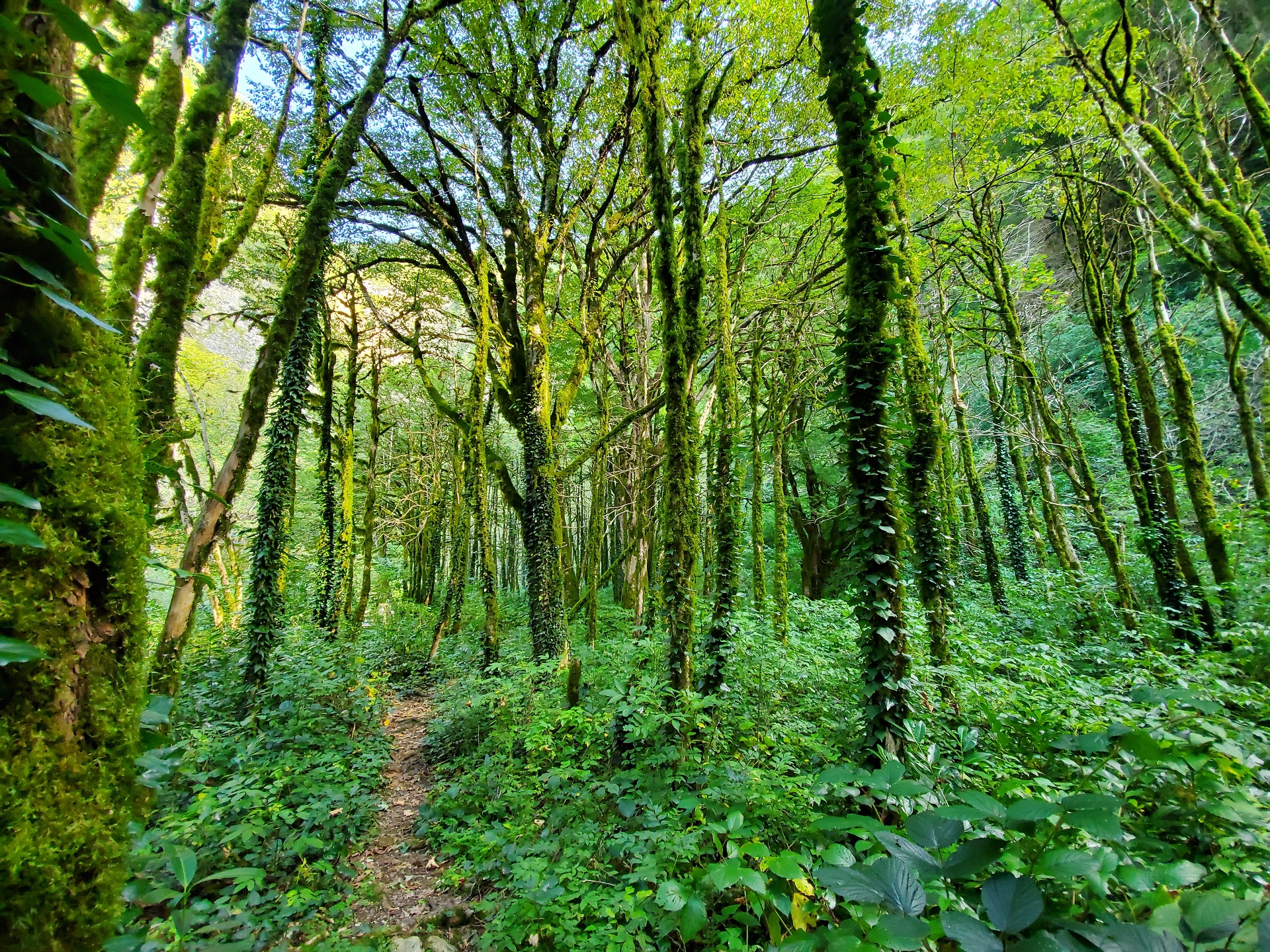 Unique vegetation of the trail leading to the Oniore Waterfall
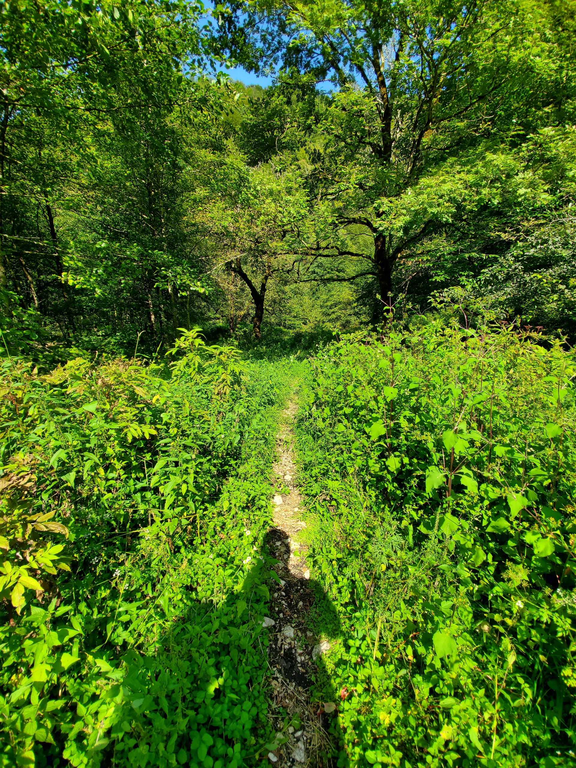
After this location a slope starts with an average inclination of 11.2%. The slope leads to Toba and the Oniore waterfall Natural Monuments. The downhill slope is 2,050 meters long and ends in the Toba river canyon, which originates from the Toba waterfall. The Toba River is small in size, not exceeding three meters in width and 30 centimeters in depth. Crossing the river is easily possible with the help of stones, as well as with cut trees, without getting the feet wet.
At the location adjacent to the river a recreational area was selected, where the picnic spot will be arranged and the existing camping area will be repaired.
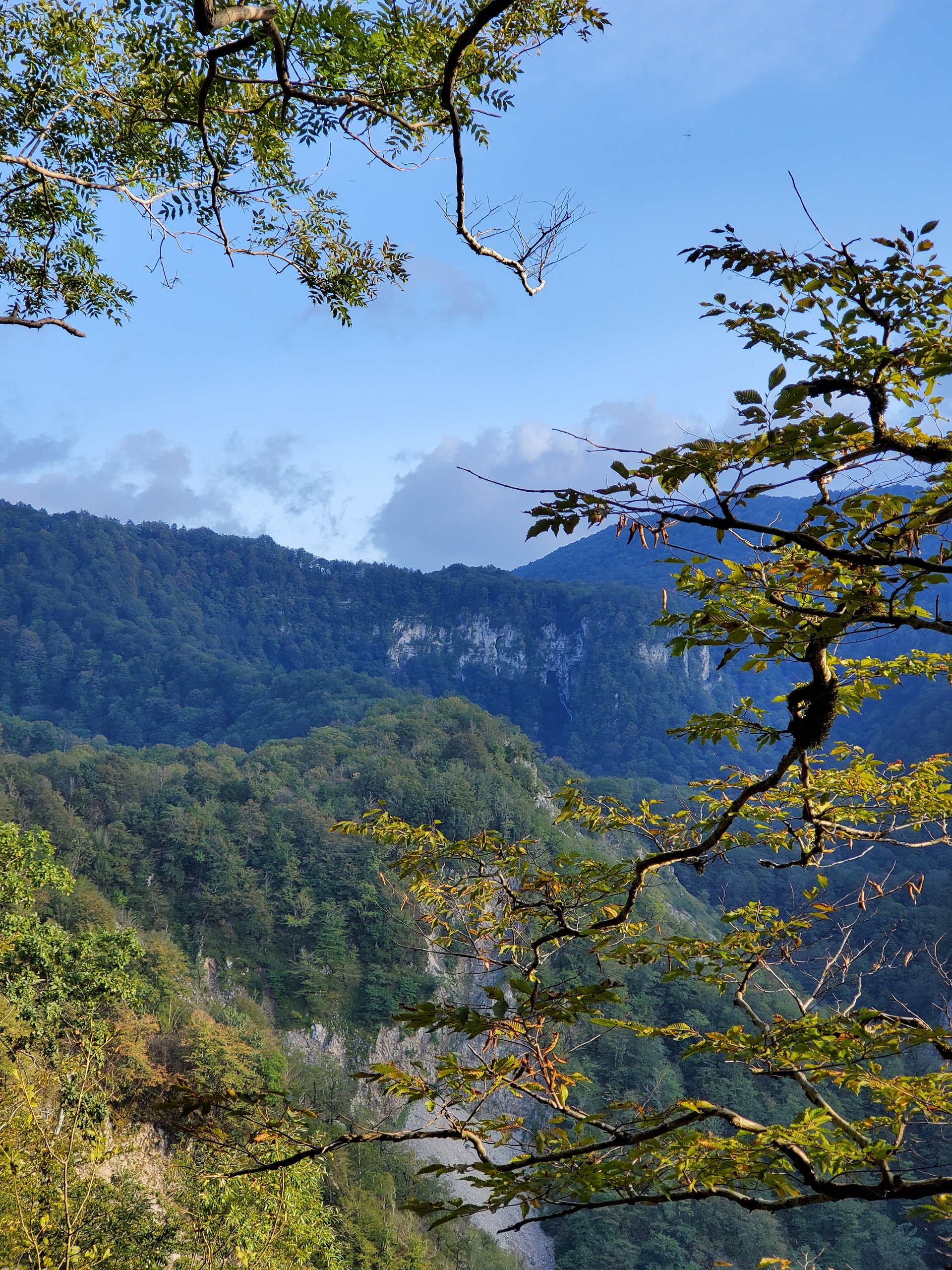
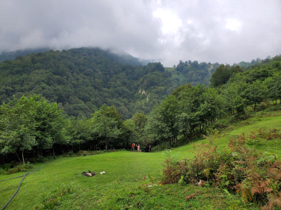
In about 200 meters from the waterfall a recreational area was selected, with two picnic spots and a toilet will be constructed. The simple infrastructure in the area in the form of fireplace and logs already exists. Therefore, this is one of the best recreational areas on the trail, which is already frequently visited and further development of infrastructure can make it more attractive for visitors. The trail to the waterfall goes through the typical Colchian forest, with a Colchian boxwood and blackberry bushes.
Unfortunately, because of the fungi and pests the perennial trees are virtually desiccated and are covered with shrub cover and large biomass of lichens and moss. An excess of moss is one of the best indicators of the clean air on this section. The vegetation also has a vast impression on the visitors.
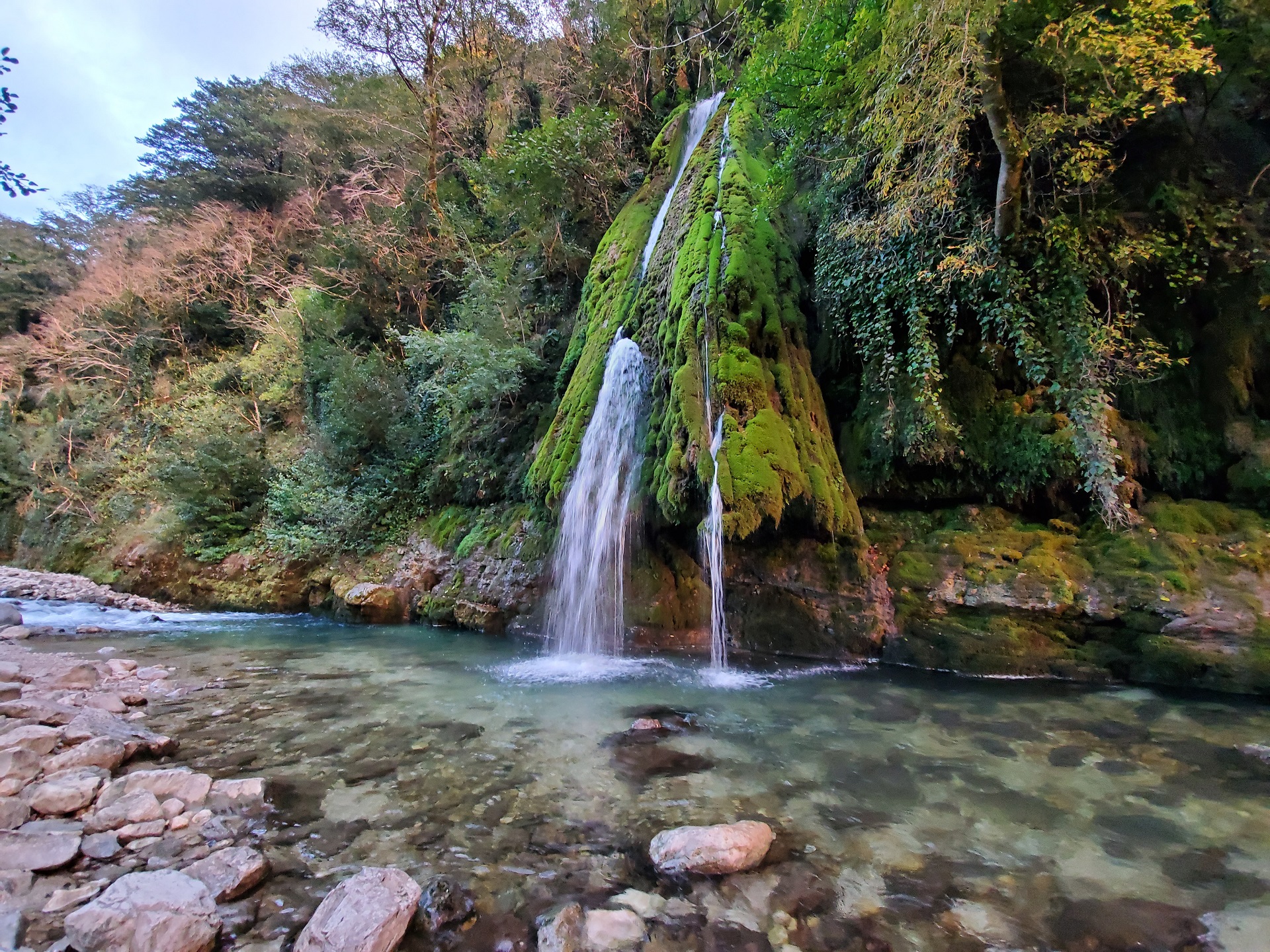
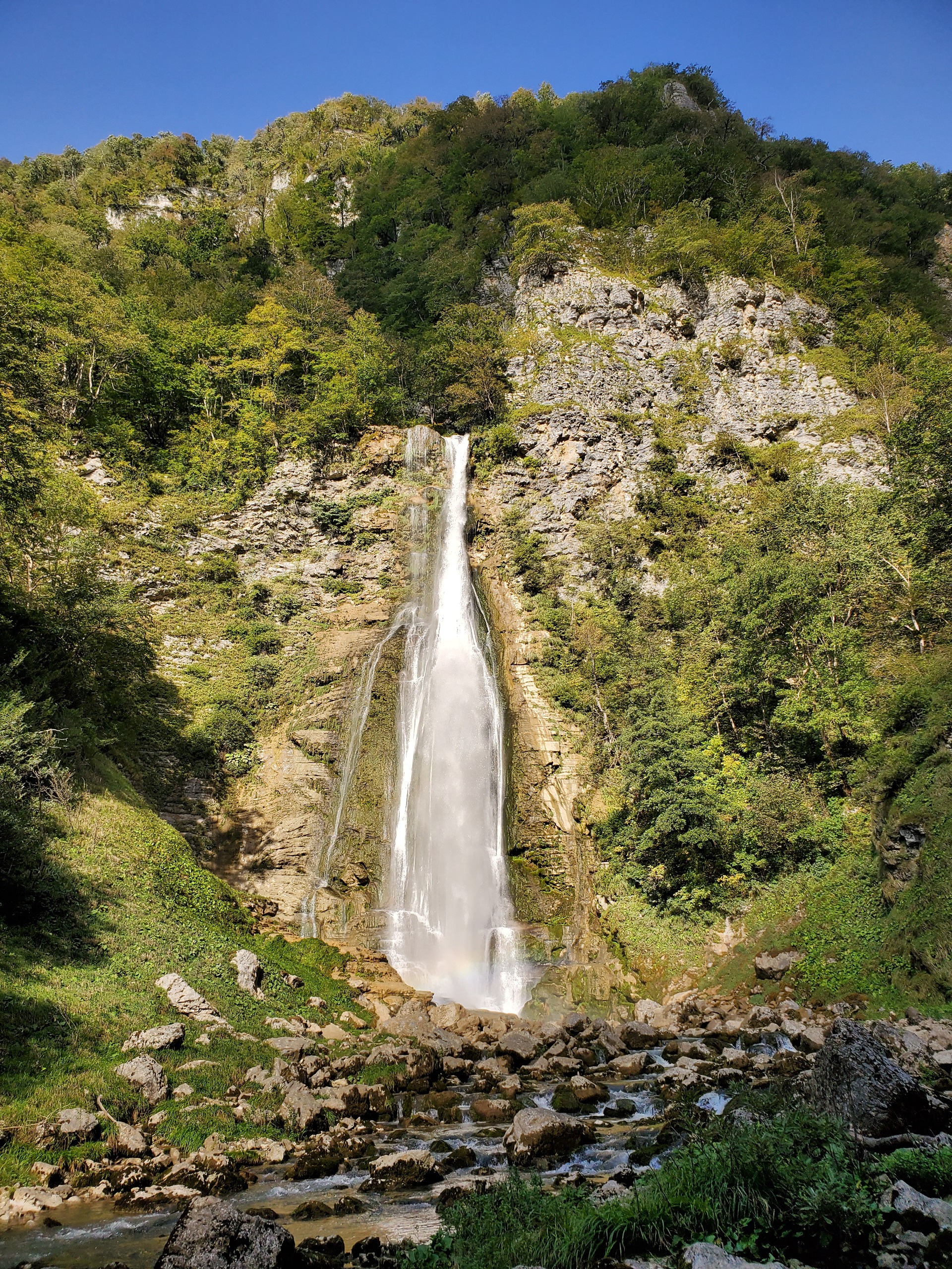
After crossing this section, the visitors will be able to see the Oniore waterfall, which flows out of the cave and is 67 meters high.
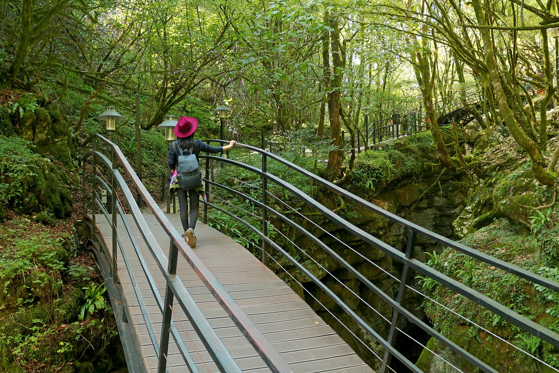
After visiting the waterfall, the visitors will need to cross the right bank of the river to continue on the trail. This can be done by walking over the stones and without getting wet. After crossing the Oniore waterfall, the trail follows the right bank of the Toba river. In about 500 meters from the Oniore waterfall there is a second waterfall, which can be seen from three different angles. From Oniore waterfall an altitude starts to decrease. In about 3,750 meters a Kaghu waterfall is located. There is a unique biodiversity on this section, both on the slopes and in the Toba River. There are panoramic views along the trail, from which the Toba waterfall can be seen.
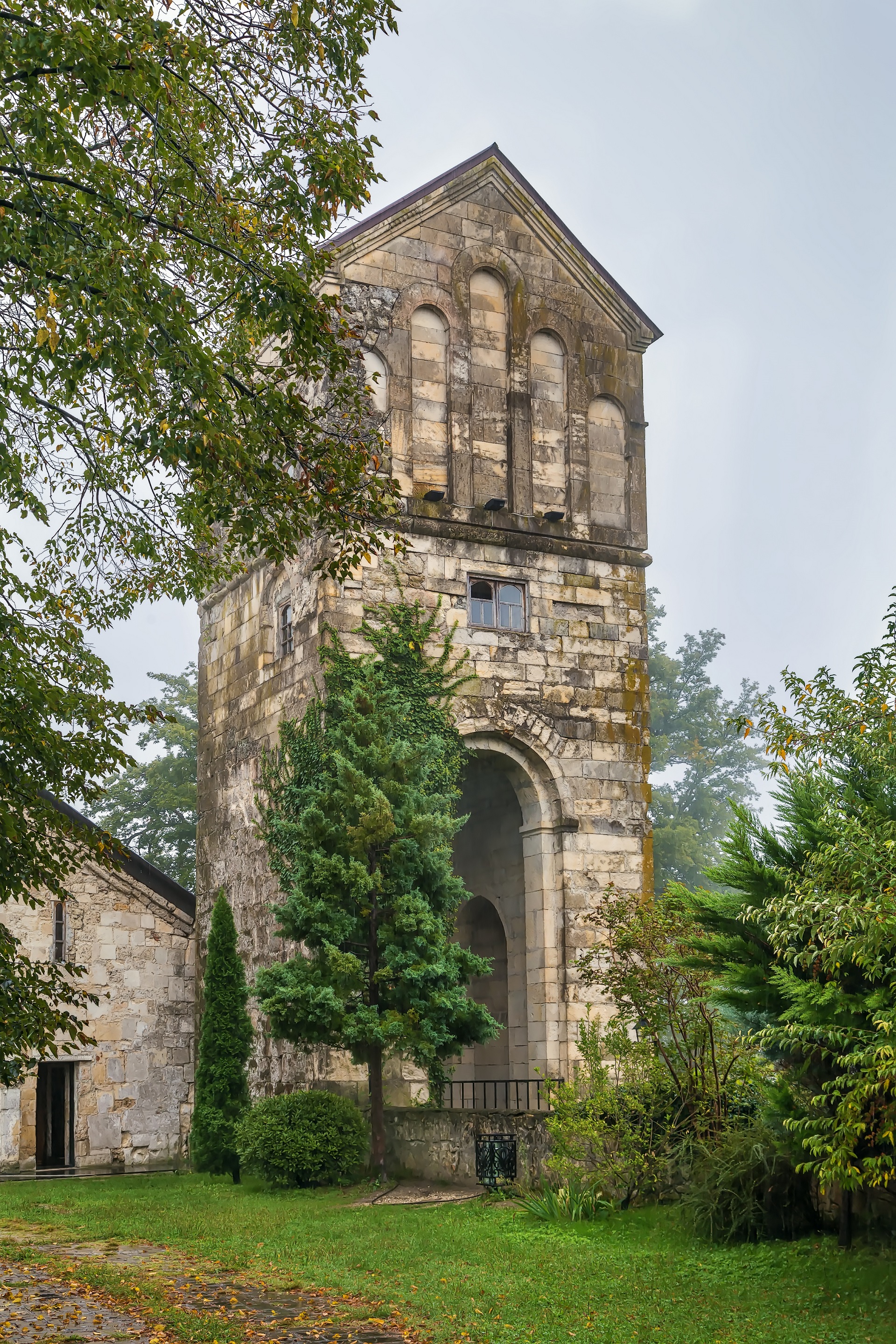
In 150 meters before reaching the Kaghu waterfall, it is necessary to cross the river Abasha. In most cases the depth of the water does not exceed 50 centimeters and is easy to cross, although it is necessary for the visitors to have the information before starting the route, to avoid unexpected problems.
After crossing the river Abasha, the visitors reach Kaghu (Zhuzhgha) waterfall, which is of exceptional beauty. The Kaghu waterfall is a frequently visited place in summer, especially for locals. With recreational areas adjacent to the waterfall the visitors can enjoy picnic and taste local dishes.
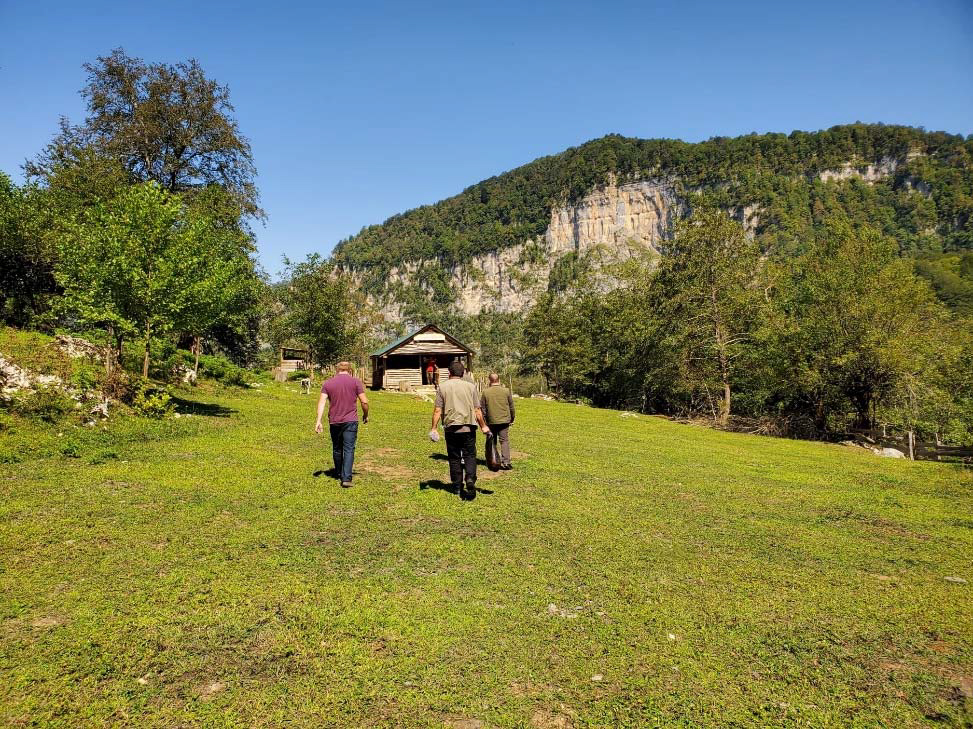
Visiting a guesthouse near the selected trail.
Interactive Map
See More
