About District - Byala, Bulgaria
Natural Resources of Byala Municipality
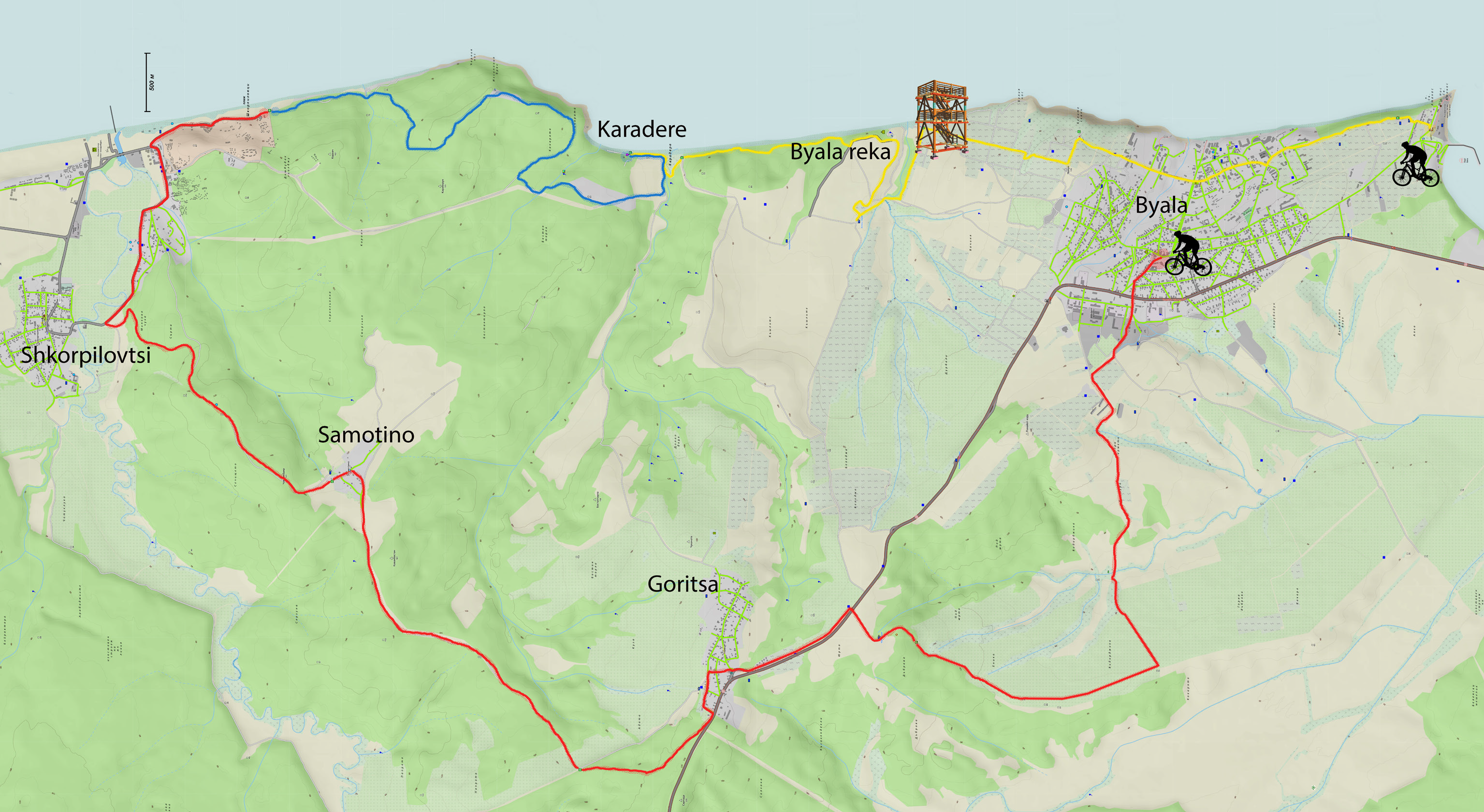
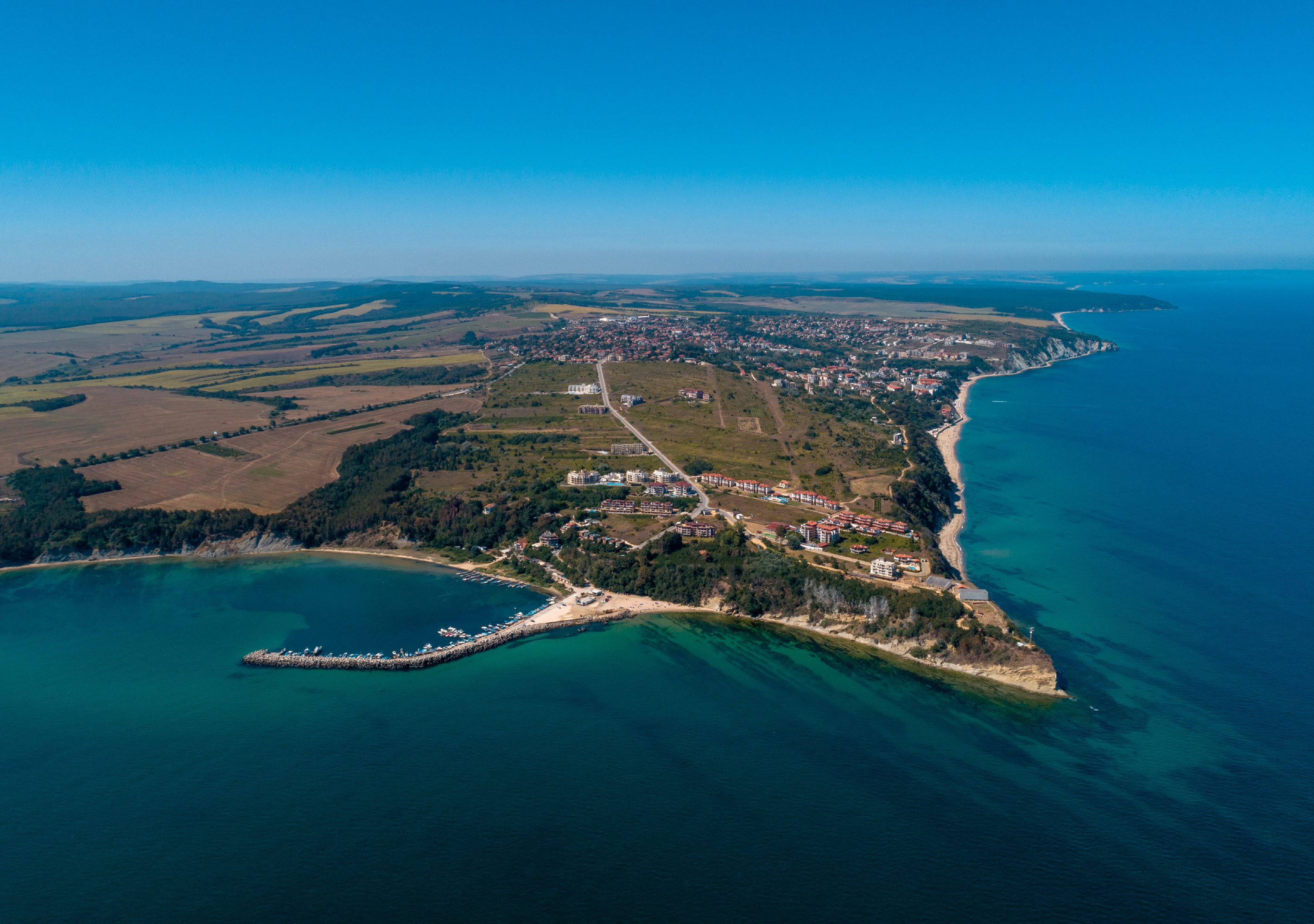
Byala Municipality is located in the central part of the Bulgarian Black Sea coast. To the north and northwest, it borders with Dolni Chiflik Municipality (Varna region) and to the south and southwest with Nessebar Municipality (Burgas region). Its territory is 162 km2 and includes six towns and villages: the town of Byala, the village of Goritsa, the village of Gospodinovo, the village of Dyulino, the village of Popovich, the village of Samotino. At the national level, the municipality covers 0.15% of the territory and is home to 0.04% of the population of the country. The first-class road I-9 Varna-Burgas passes through the municipality.
In general, the road infrastructure on the territory of the municipality is determined to be satisfactory. The location of Byala Municipality determines its good transport connections with the cities of Varna and Burgas.
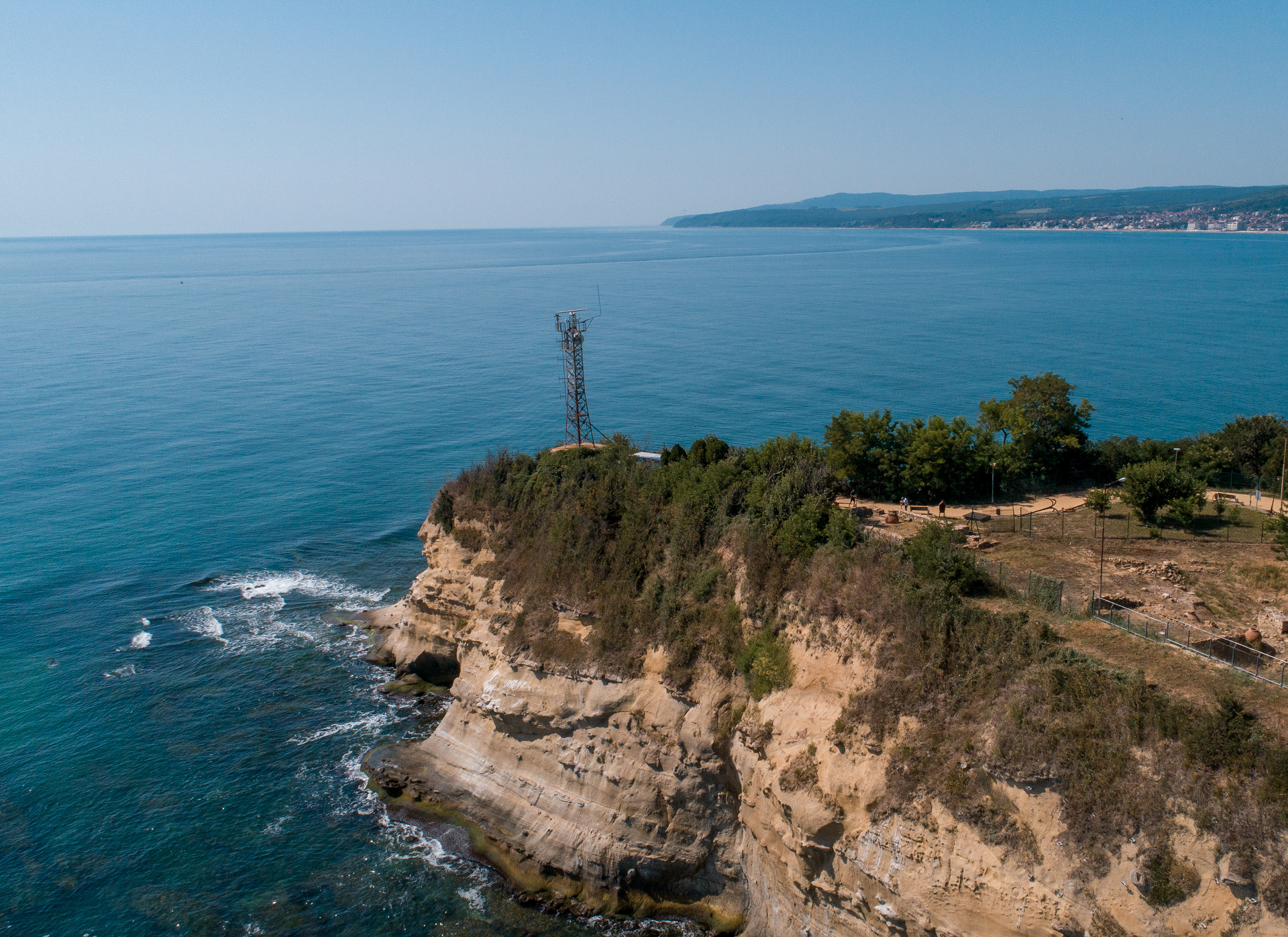
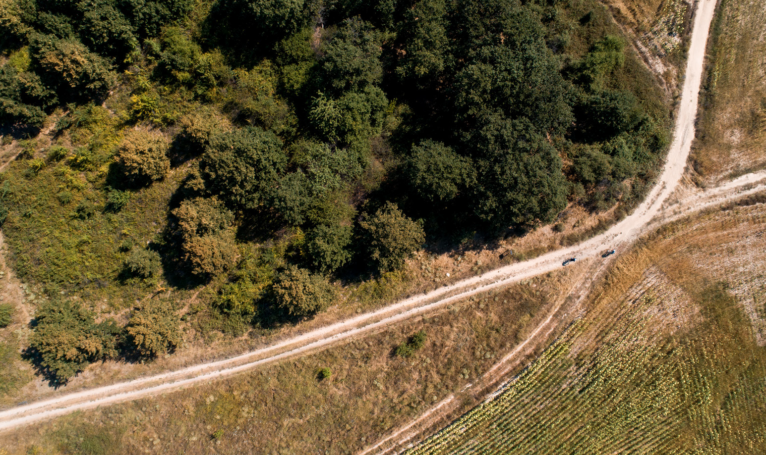
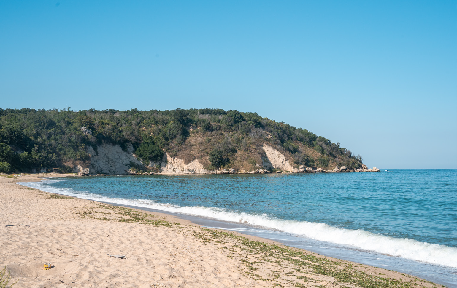
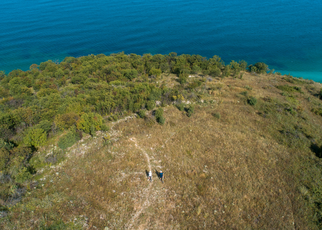
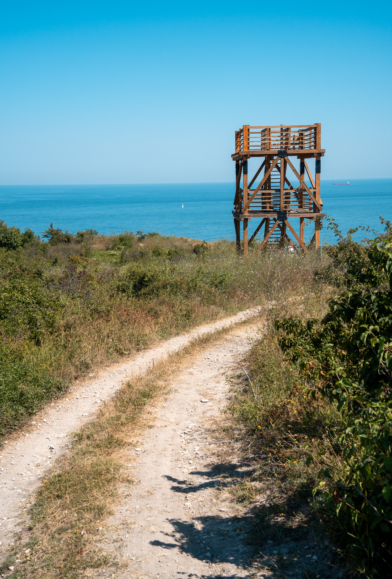
The relief of Byala Municipality is hilly, with an average altitude of the territory of about 150 m. The western and northern part of Byala Municipality contain the eastern slopes of Kamchiyska Mountain. They descend smoothly to the sea with a slope of 2% to 5%. The coastline is characterized by low ruggedness and steep slopes. The climate of the territory is temperate-continental and pre-continental, with a pronounced Black Sea influence.
The microclimatic features of the coastal zone favour a long holiday season. The surface water resources of Byala Municipality are generally poor. There are no natural lakes on the territory. The artificial water bodies consist in a single micro-lake – Gospodinovo lake, built on the river Perperedere. The soils in the region are diverse, mostly chernozem (black earth) and grey forest soils; there are also the following soil types: leached and carbonate chernozems – in the central and southern plains of the municipality; grey and grey-brown forest soils, characteristic of the northern and western lowland and hilly part of the municipality – Eastern Balkan Mountains; alluvial-meadow soils characteristic of the river valleys. In geological terms, the area is poor in minerals.
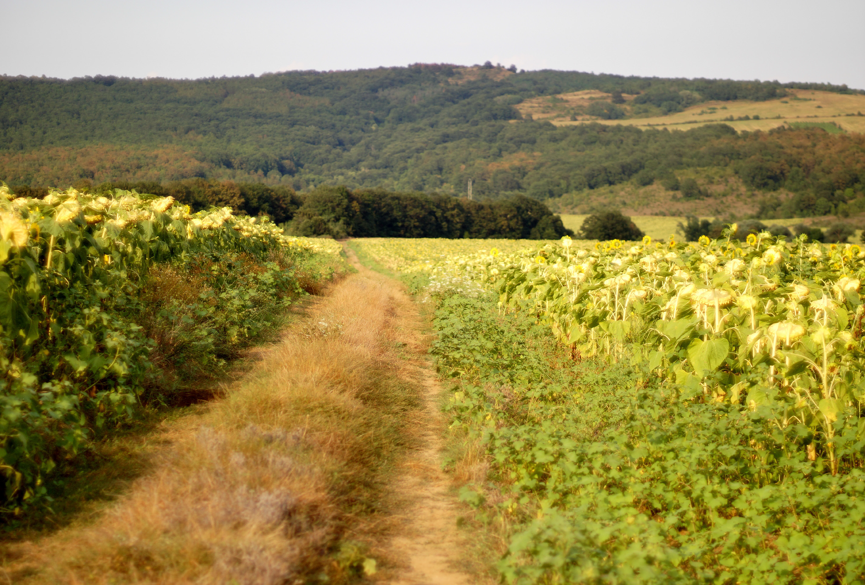
Byala Municipality is characterized by preserved forest massifs, taking up a significant share of its territory, home to very diverse vegetation and floristic elements due to specific climatic conditions, various edaphic conditions and humidification regimes. Vegetation – psammophytic vegetation grows on all sandy beaches and sand dune complexes. It includes both open grass phytocenoses, with sparse vegetation near the shore, and grass communities of stabilized dunes with large projective cover and abundance of mosses and lichens.
The biodiversity in Byala Municipality is determined by the diverse habitat conditions and well-preserved forests that render the municipality an area of substantial importance for the biological diversity on a global scale. Birds – the Western Black Sea migration route ViaPontica (the second largest in Europe) passes through the municipality, along which hundreds of thousands of water fowl, birds of prey and songbirds of over 110 species fly annually.
About 78% of the world’s population of the white stork, the entire European population of the rosy pelican and about 52% of the European population of the lesser spotted eagle migrate over this flyway. The region provides favourable habitats for 63 bird species, for which special protection measures are required, as well as for species that are categorized as critically endangered; endangered; vulnerable.
The globally endangered species include Dalmatian pelican, Egyptian vulture, eastern imperial eagle, saker falcon, red-footed falcon, European roller and semicollared flycatcher. Birds with priority conservation status, included in Annex I to EU Directive 79/409 on the conservation of wild birds are represented by 81 species identified on the territory of Byala Municipality, as part of Protected Area (PA) “Kamchiyska Mountain”.
Fauna
The habitats of the following species are the subject of protection in the assessed territory: 9 species of invertebrates, 7 species of mammals, 7 species of bats, 6 species of amphibians and reptiles, 7 species of fish.
Flora
The territory includes valuable and rare ecosystems with great diversity: longos and sub-longos type; sub-Mediterranean shrub ecosystems; habitats of rare endemic and relict species. The most spectacular are the longos ecosystems with a great variety of vines – ivy, old man’s beard, smilax, Virginia creeper, silkvine, hops. About 200 species of higher plants have been identified on the territory, with about 20 of them belonging to the category of rare, endangered and protected species.

The main habitats are forests, represented by pure oak and beech forests and mixed deciduous forests with a predominance of Turkey oak /Quercus cerris/, Hungarian oak /Quercus frainetto/, sessile oak /Quercus dalechampii/, Oriental beech /Fagus orientalis/, European beech /Fagus sylvatica/, silver linden / Tilia tomentosa/. About 40% of the forests are coppice forests. The most common of the shrubs are hazel, dogwood, hawthorn, dog rose, sumac, lilac.
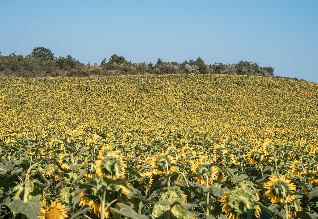
Amidst the forest massifs, mainly around the towns and villages, there are scattered arable lands and meadows with xerothermic low bluestem /Dichantium ischaemum/, bulbous bluegrass /Poa bulbosa/ and others. grass communities with predominance of yellow bluestem /Dichantium ischaemum/, bulbous bluegrass /Poa bulbosa/ and others.
The following types of natural habitats are the subject of protection: 2180 Wooded dunes; 3150 Natural eutrophic lakes with Magnopotamion or Hydrocharition-type vegetation; 6210 Semi-natural dry grasslands and scrubland facies on calcareous substrates (Festuco-Brometalia) (*important orchid sites); 6240 * Sub-Pannonic steppic grasslands; 91E0 * Alluvial forests with Alnus glutinosa and Fraxinus excelsior (Alno-Padion, Alnion incanae, Salicion albae); 91F0 Riparian mixed forests of Quercus robur, Ulmus laevis and Ulmus minor, Fraxinus excelsior or Fraxinus angustifolia, along the great rivers (Ulmenion minoris); 91G0 * Pannonic woods with Quercus petraea and Carpinus betulus; 91H0 * Pannonian woods with Quercus pubescens; 91M0 Pannonian- Balkanic turkey oak – sessile oak forests; 91S0 * Western Pontic beech forests;
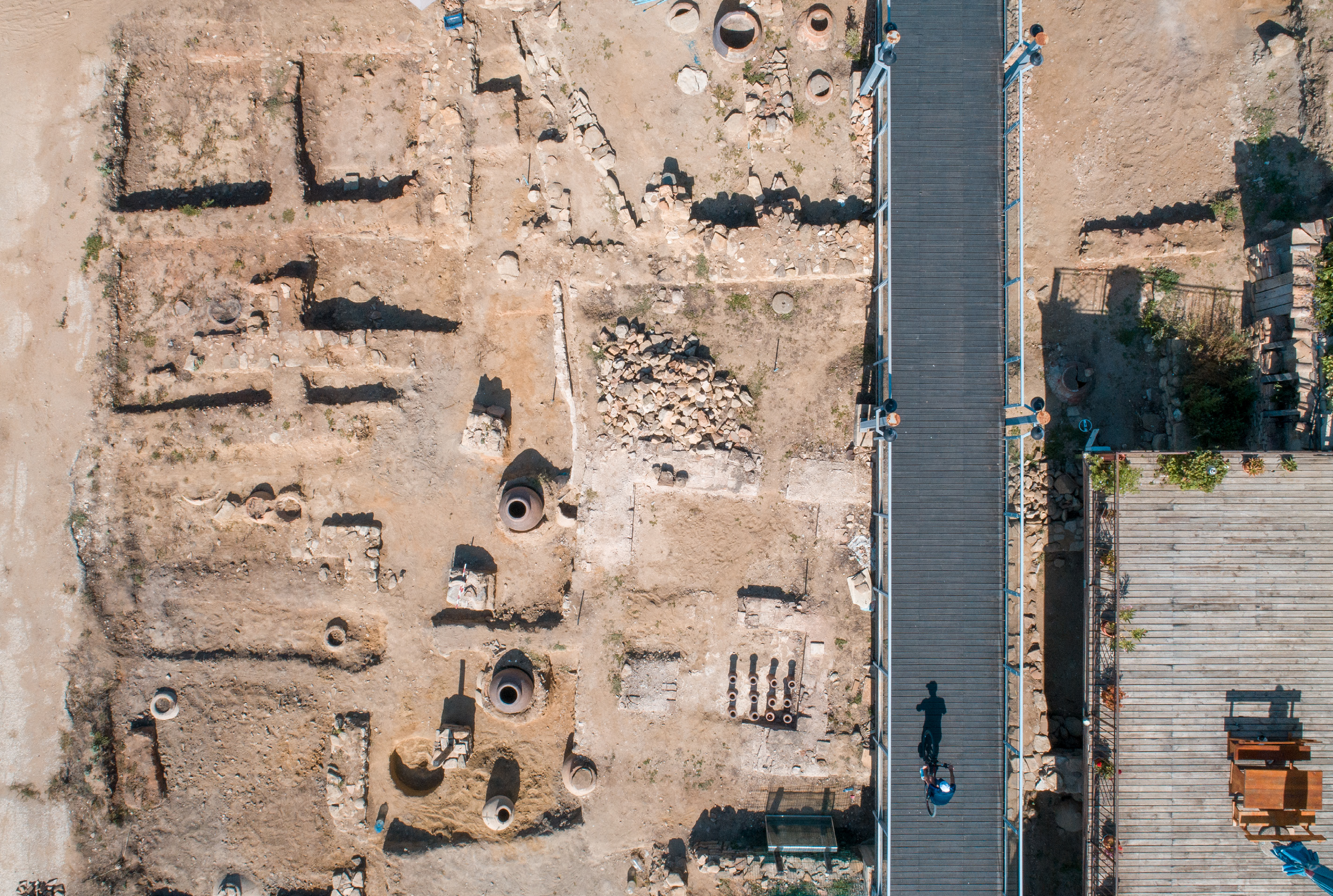
Byala is proud of the natural landmark White Rocks, declared as such in 2003. It is a unique, continuous rocky geological profile with a geochronological boundary Cretaceous/Tertiary and the accompanying iridium anomaly, with a total area of 14.5 ha. The territory of the cycling routes is near the Protected Areas of the National Ecological Network Natura 2000: BG0002044 “Kamchiyska Mountain” for the conservation of wild birds, BG0000100 “Shkorpilovtsi Beach” for the conservation of natural habitats, BG0000133 “Kamchiyska and Emenska Mountains” for the conservation of natural habitats.