Bicycle Blue Route
Posted by : BGadmin@ecotournet.net on 20.Sep.21
Last update by : BGadmin@ecotournet.net on 30.Oct.21
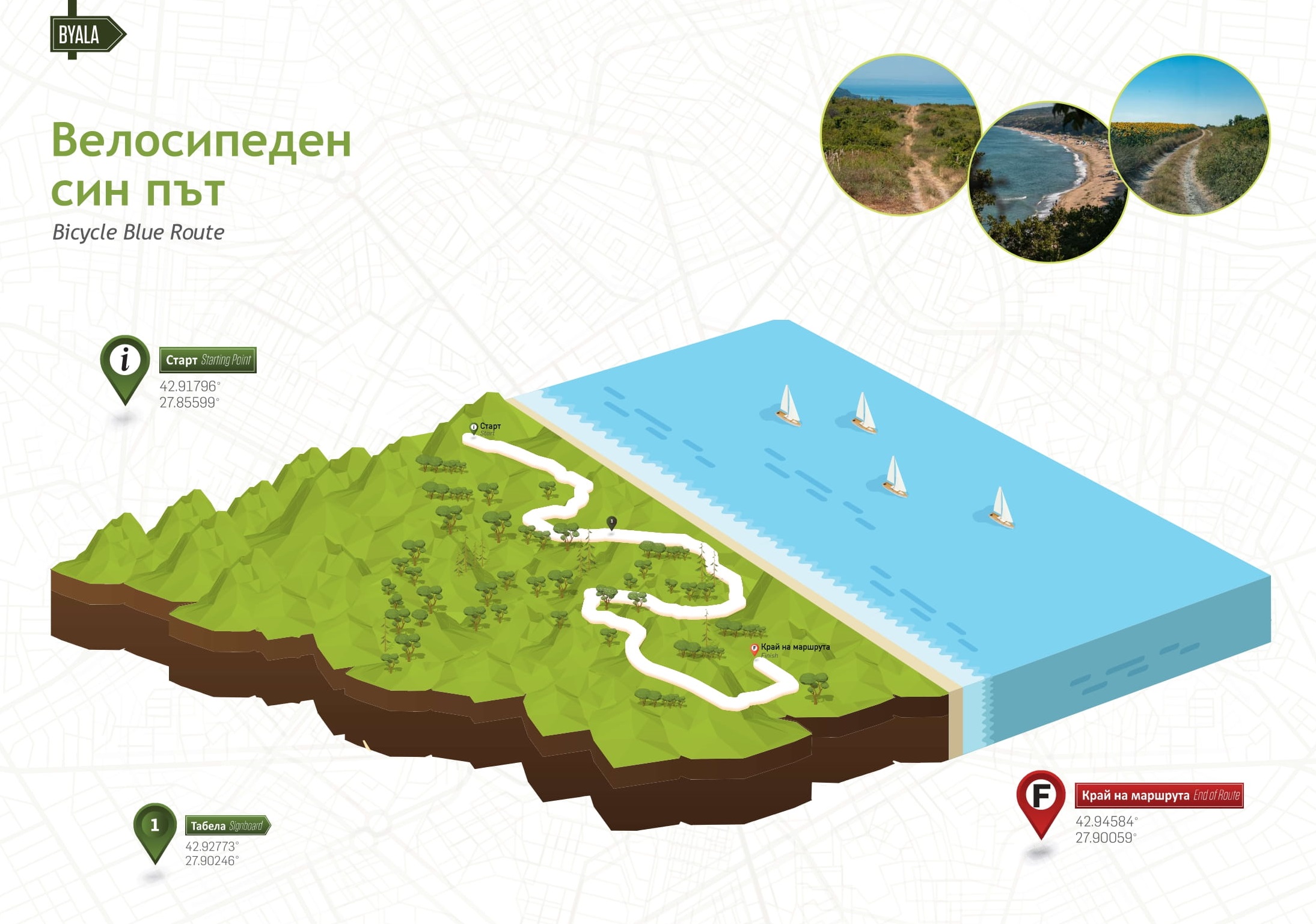
Information on route
Total distance 6,24 км
Elevation gain 142 м
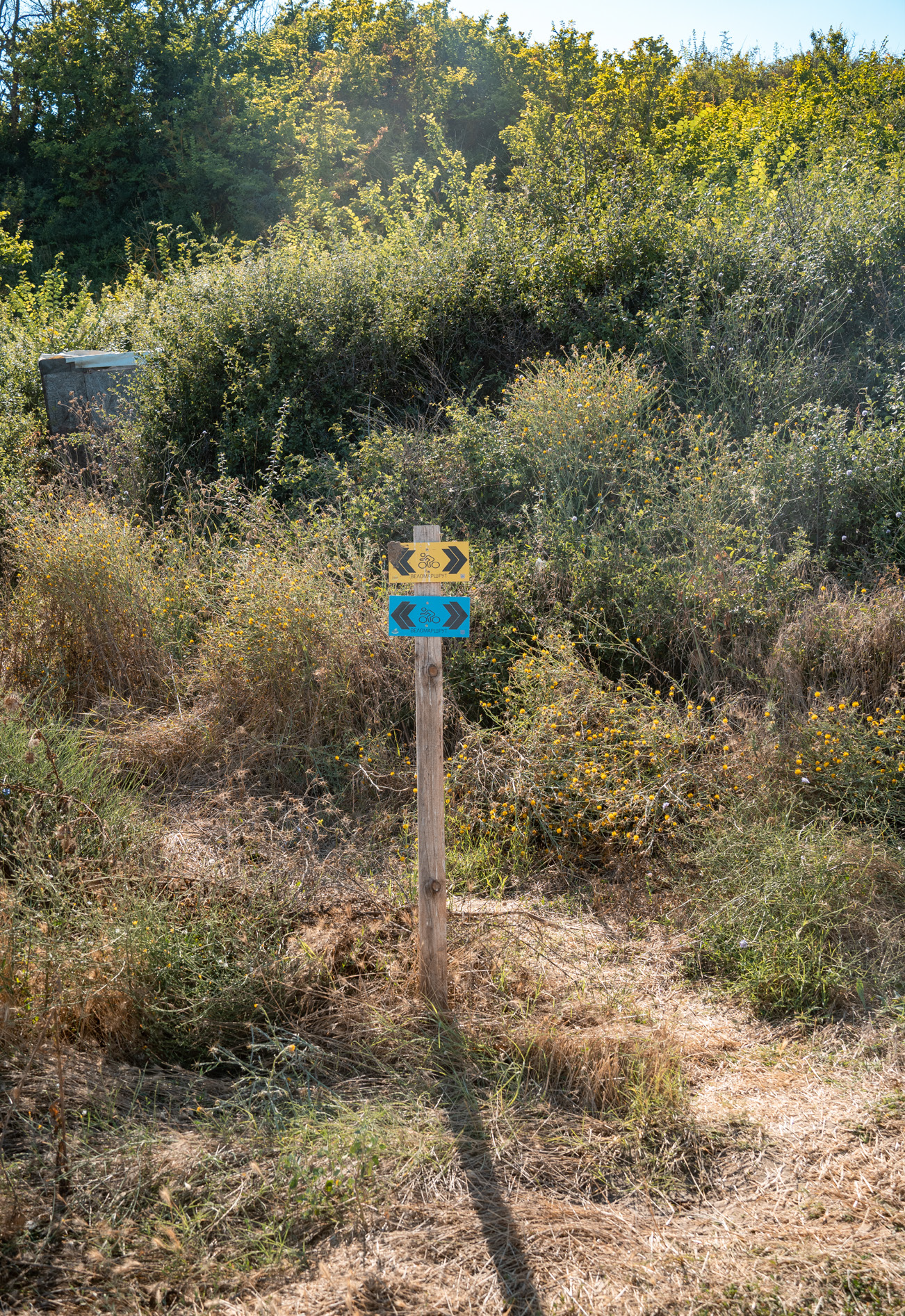
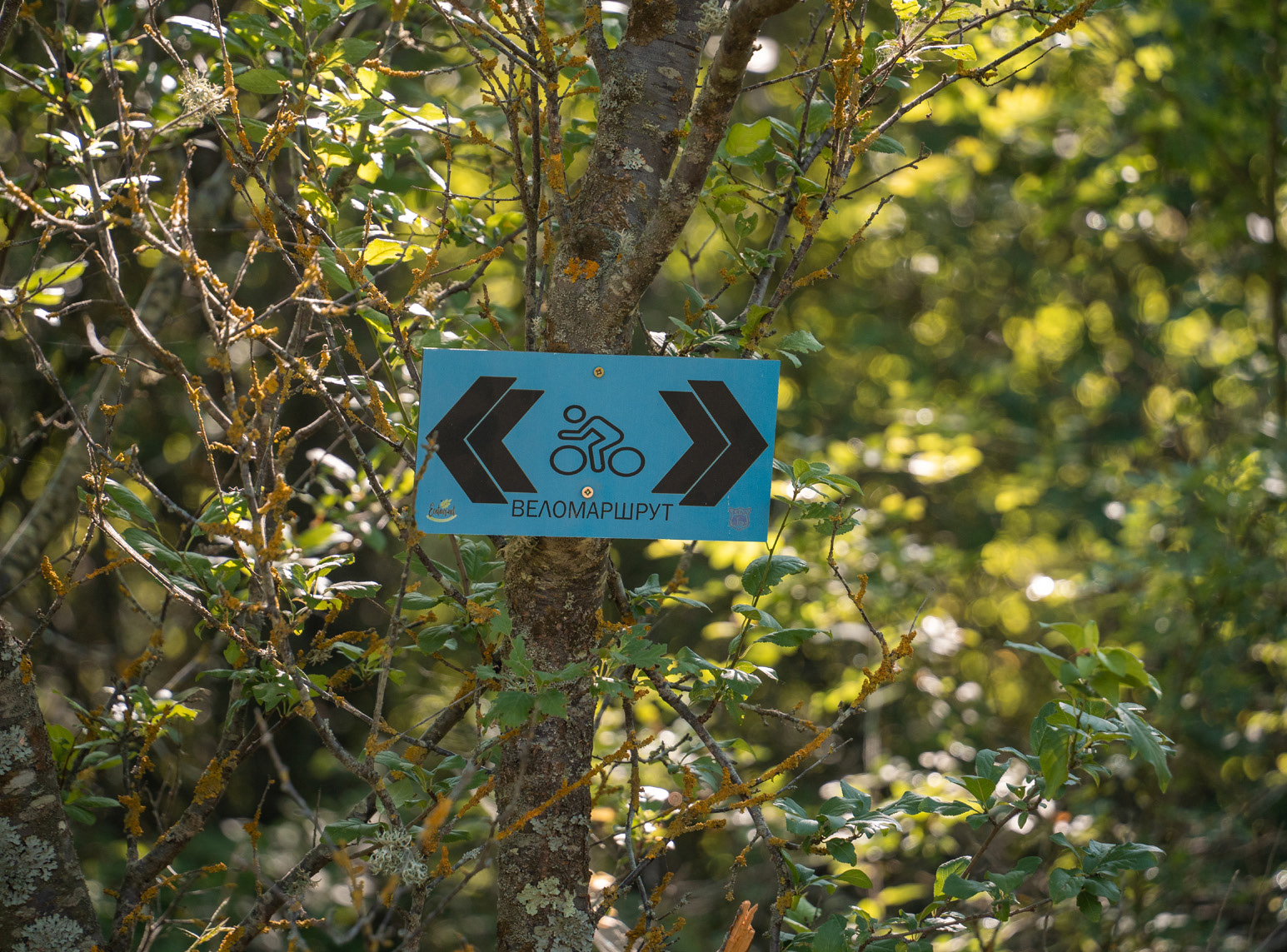
Marking Blue
Surface Dirt Road
Level of Difficulty From 1 to 5
Technical Difficulty From 1 to 5
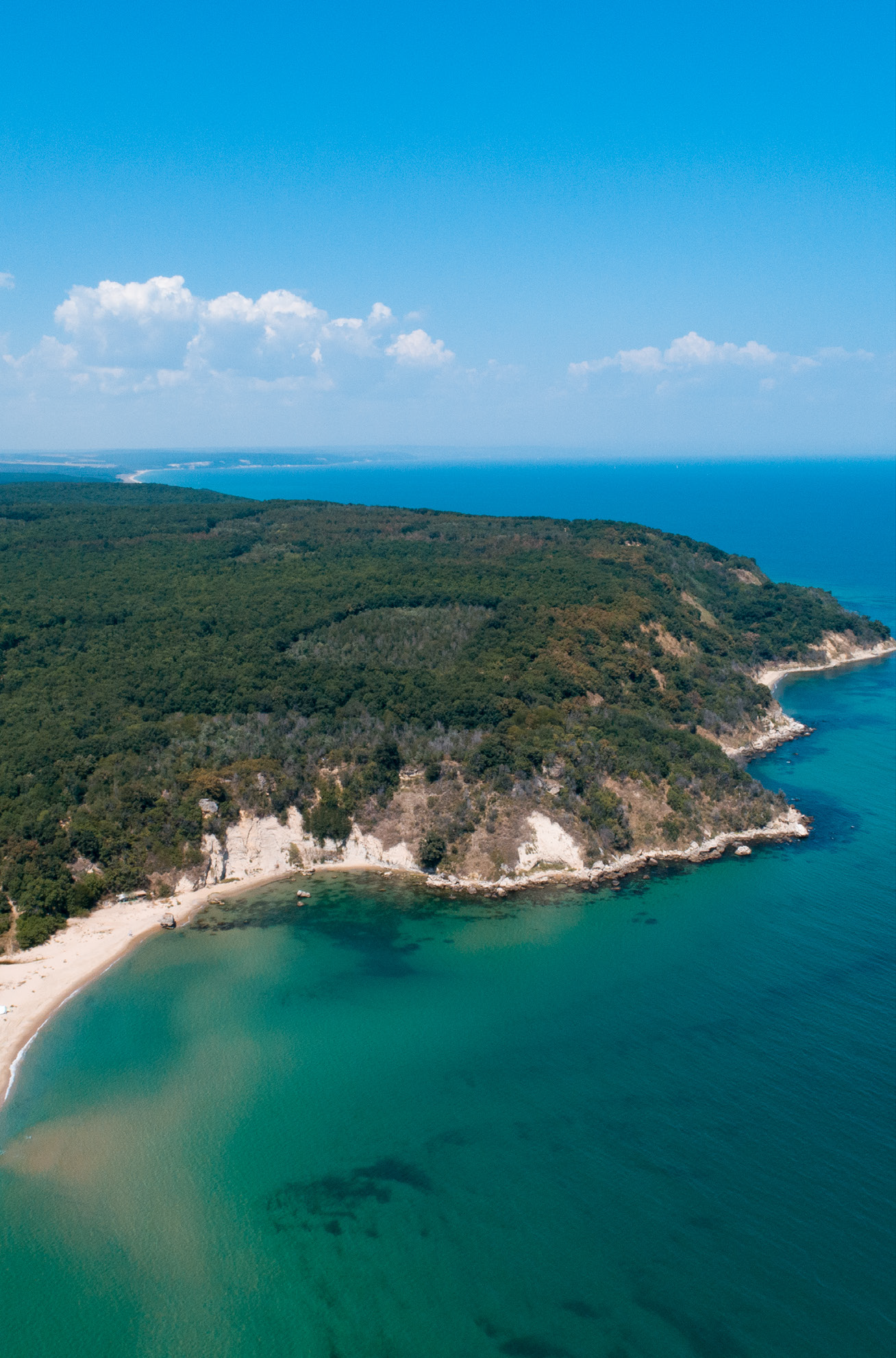
This connecting route gives the wonderful opportunity to combine two cycling routes with completely different features (Byala - Shkorpilovtsi and Byala - Karadere) to make one longer round trip. In this way, cyclists get not only a longer ride, but also a very diverse experience. This section is dominated by forest, but there are two places worth visiting. One is the hidden and almost unknown natural landmark Kanarata - a huge rock overhang, a small lake and a waterfall, and the other is the beautiful view over the Black Cape.
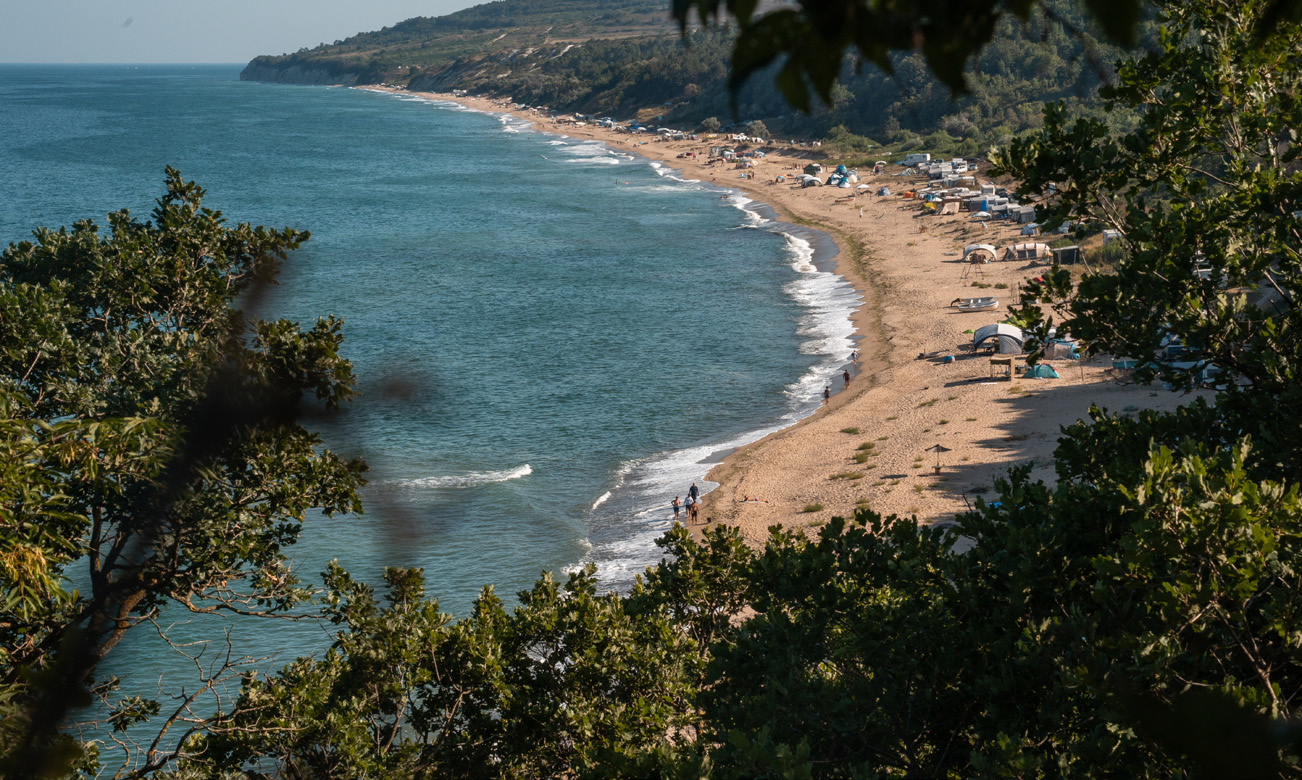
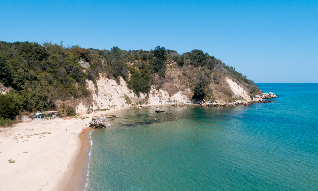
The blue route starts the place for rest on the Karadere north beach, where there is an information board. Here cyclists and eco-tourists can get information about the routes in both directions and enjoy the beautiful sea views.
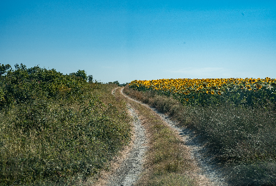
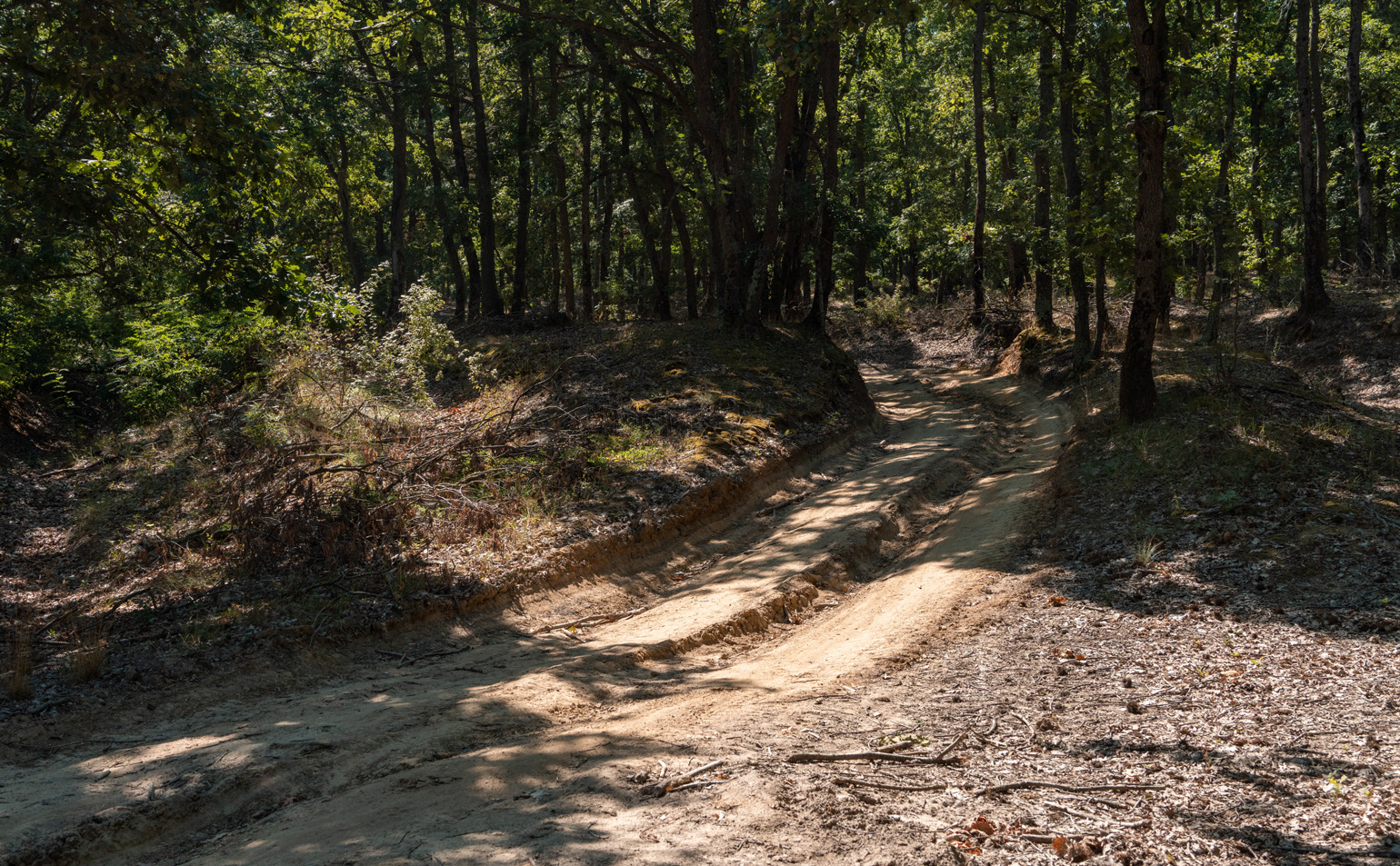
Whether you start from Shkorpilovtsi to Karadere or vice versa, in the beginning there will be at times a steep climb on forest roads. As there are quite a few forks where you can easily go in the wrong direction, the markings must be followed carefully.
From the starting point – the information board at the place for rest north of the river of Karadere, go south and after about 280 m the road turns right away from the sea. After another approx. 330 m, take the road to the right uphill. About 1.5 km from the start, at a smooth left turn, cyclists can turn right to the gorge to see the landmark Kanarata.
There is no clear path, but from wherever you approach, you will reach the river where the waterfall is, or to a path along a rocky edge that leads to the right place. If you take the right approach, the place will be 100-150 m from the road.
While looking at the expanse of the sea, you can see even with the naked eye single specimens of the smallest Black Sea dolphin – the bottlenose dolphin (Tursiops truncatus) – the top predator inhabiting the coastal waters. Another species of dolphin that can be observed is the harbour porpoise (Phocoena phocoena). This species is many times fewer in number than the common dolphin; it inhabits the coast, most often up to 2-3 nautical miles from the shore with a depth of 30-35 m.
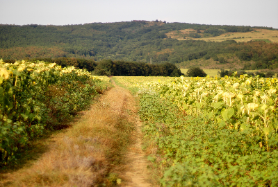
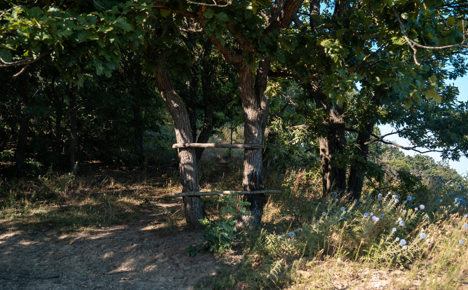
The route continues along a dirt road through a mixed deciduous forest with a predominance of Turkey oak (Quercus cerris), Hungarian oak (Quercus frainetto) – characteristic species of habitat 91M0, and common hornbeam (Carpinus betulus), a representative species for habitat *91G0.
In early spring, when the trees have not yet leafed, we can see some of the early spring flowers – snowdrop (Galanthus nivalis), alpine squill (Scilla bifolia), crocus (Crocus flavus or Crocus aureus), hairy star of Bethlehem (Gagea), garden star of Bethlehem (Ornithogalum), hollow root (Corydalis cava), celandine (Ranunculus ficaria), liverwort (Anemone hepatica), lily of the valley (Convallaria majalis), Solomon’s seal (Polygonatum multiflorum) and spring vetchling (Lathyrus vernus Bernh.). The summer is the time of the nettle-leaved bellflower (Campanula trachelium), the largest representative of the lilies – the martagon lily (Lilium martagon), salep plants/orchids (Orchidaceae).
The area is famous for its wealth of bird species and is one of the most important places in the country for the honey buzzard (Pernis apivorus), the lesser spotted eagle (Aquila pomarina), the booted eagle (Hieraaetus pennatus) and the woodlark (Lullula arborea).
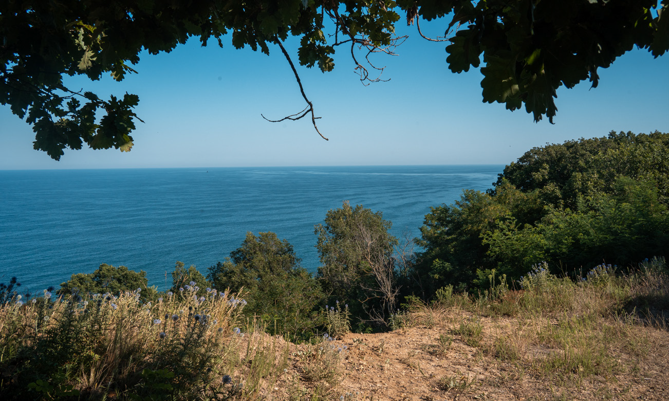
If you decide to skip the Kanarata, the road continues through a ravine and a small river, soon after which you must watch for a right turn that leads back in the direction of the sea. Then the road arches smoothly to the left and, now parallel to the shore, begins to climb. Through the branches of the forest on the right side you can catch a glimpse of the sea – if you want, you can go and enjoy the view. The best panorama is 3.6 km from the beginning, but caution is needed here because the road and the edge are slipping.
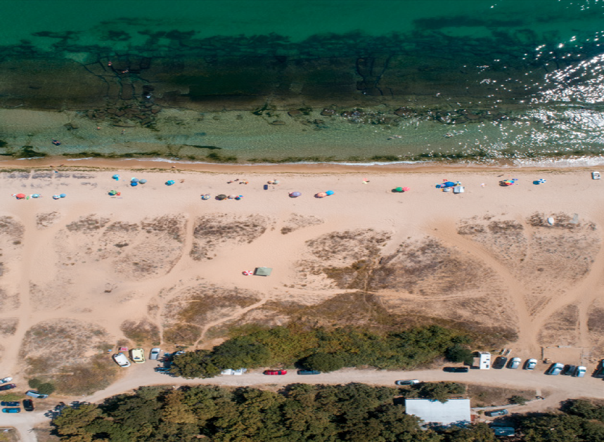
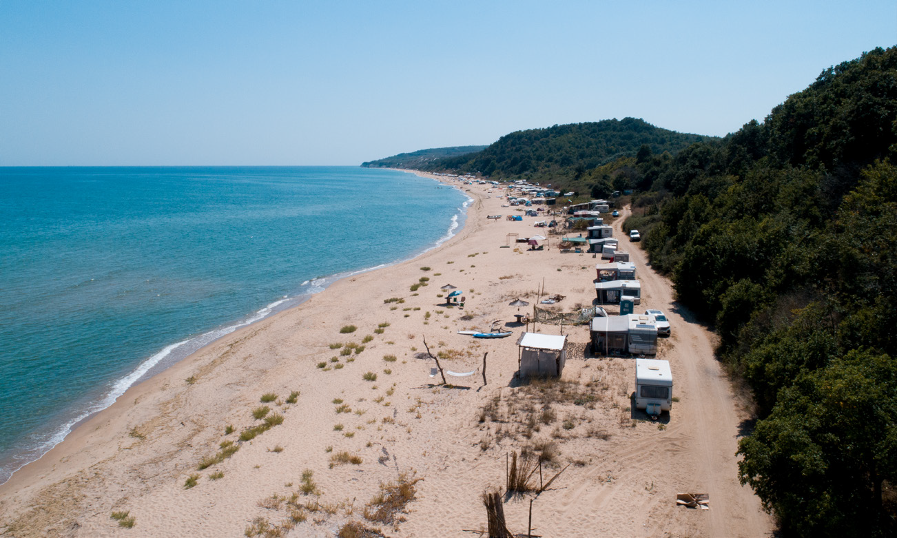
Then follows a forest section and a steep descent to the beach of Shkorpilovtsi. The route continues along a ridge passing deciduous and coniferous forests, after which it begins to descend. At the bottom of the descent, you come to a road running a few tens of meters parallel to the shore. Passing through an improvised camping area full of caravans, you reach the end point at the beach in the resort part of Shkorpilovtsi.
The end point of the blue route connecting the red with the yellow route is in the area of the holiday complex Panorama, on the coast. There is a place for rest there with panoramic views and an information board.