A2 Hiking Route of Erymanthos
Posted by : GRadmin@ecotournet.net on 24.Sep.21
Last update by : GRadmin@ecotournet.net on 31.Oct.21
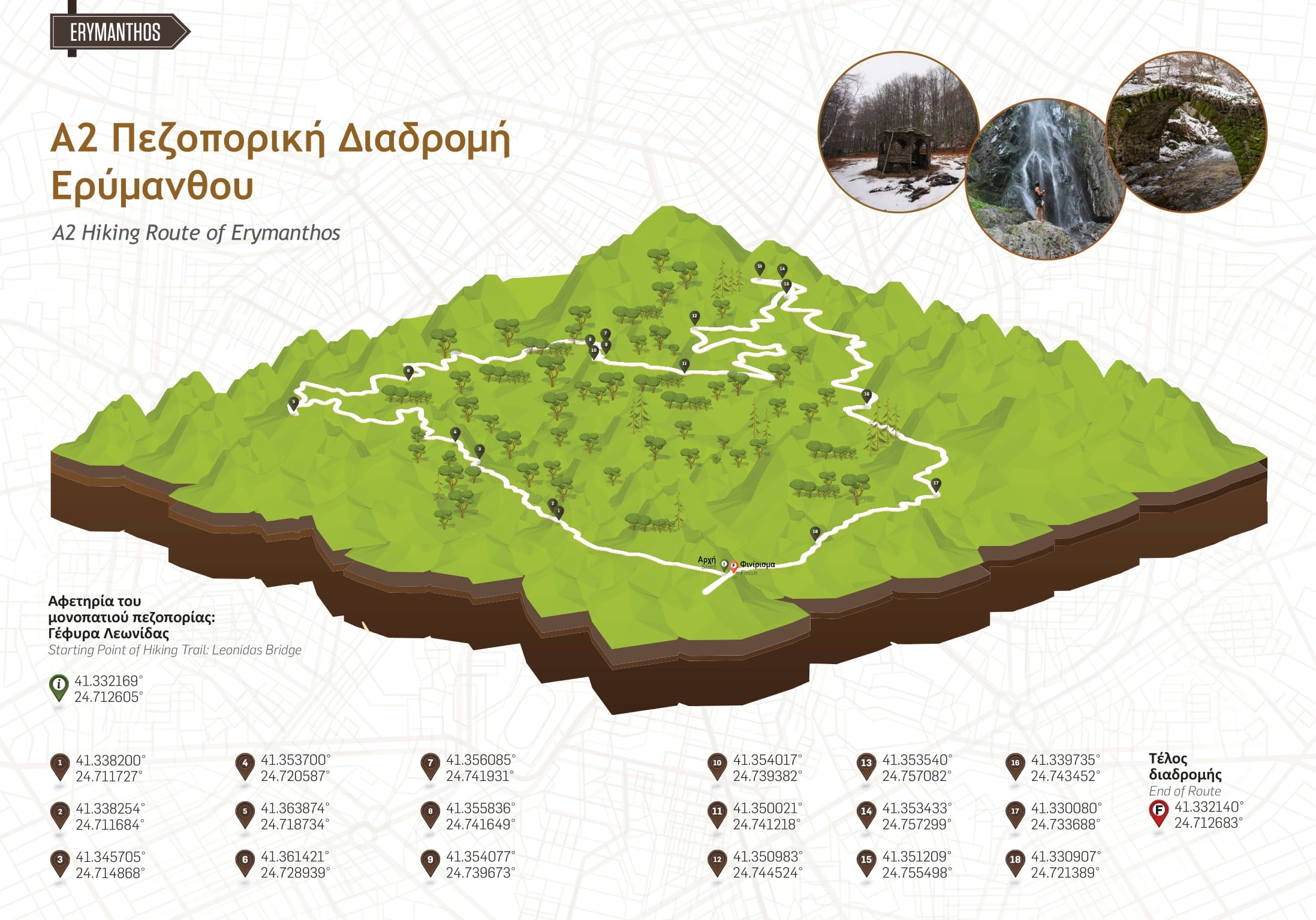
Hiking Route A2 Erymanthos
(Forest Village) - Leonidas Bridge - Preserved Monument of Nature – Erymanthos (Forest Village)

Information on Route
Circular Yes
Length 20.3 km
Degree of difficulty Moderate Difficulty
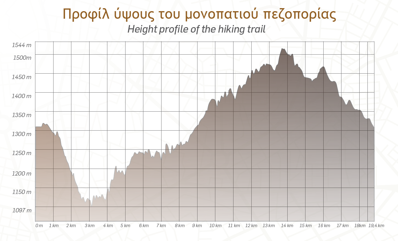
Minimum altitude 1.096 m
Circular 1.545 m
Points of interests Leonidas Bridge, Preserved Nature Monument-Beech Forest (Tsichla Location)

The hiking route for the bridge of Leonidas and the Preserved Monument of Nature starts from the Forest Village of Erymanthos and follows a path with a total length of 20.3 km.
For the most part it consists of forest roads (15.76 km) and the rest of trails (4.6 km). For the first 700 m, the hiker follows a dirt road in a northerly direction and then, in his/her right hand, begins the path which has a downhill slope along its entire length (1.8 km).
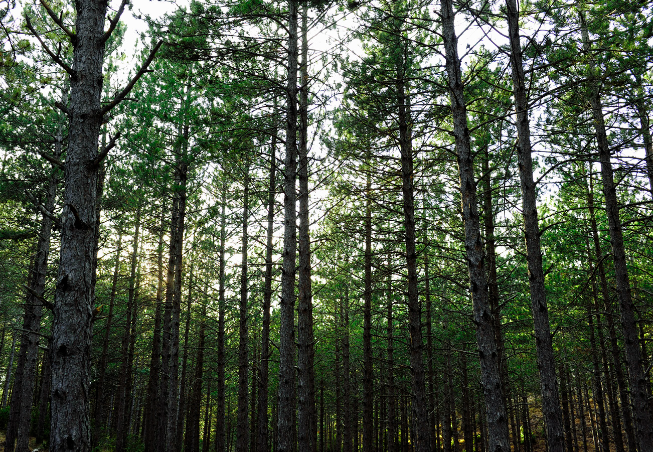
He/she crosses a dirt road after 1.6 km and the path ends at the second one he/ she encounters (1.8 km). Then the route follows a dirt road for 5.6 km to the stone arched bridge of Leonidas. From the bridge, the hiker moves in a southwesterly direction, on an uphill path, to meet again with a dirt road and continue for 4.1 km to the Preserved Monument of Nature. From this point, which is the easternmost of the route, the return to the forest village of Erymanthos begins. For 500 m the visitor returns from the same dirt road and then turns left, at the first junction.

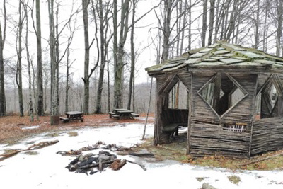
He/she follows, in a southwesterly direction, the forest road network for 2 km and enters a path at the point where there is a wooden kiosk. After 1.6 km in mixed vegetation (coniferous-deciduous) the route meets a second kiosk and descends in a northwesterly direction until it meets a dirt road.
At 1.4 km, following this road, the course is completed in the Forest Village of Erymanthos. At several points along the way the visitor has the opportunity for a short break on the benches and kiosks that he/she will meet at 1.3 km, 12.7 km, 15.7 km, and 17.3 km.
The route is very safe and the access by car is possible for the most part. During the winter months the forest roads are accessible only by four-wheel drive vehicles.
Διαδρομή Α2 | Δασικός δρόμος – Ασφαλτοστρωμένο επαρχιακό δίκτυο Route A2 | Forest Road - Asphalt Provincial Network
Η διαδρομή έχει ως αφετηρία το Δασικό Χωριό Ερύμανθου και κατά το μεγαλύτε- ρο μέρος της κινείται σε δασικούς δρόμους (15,7χλμ) και η υπόλοιπη σε μονοπάτια (4,6χλμ). Διασταυρώνεται σε έντεκα σημεία με άλλους δασικούς δρόμους, οι οποί- οι δεν είναι βατοί και εύκολα προσβάσιμοι, ειδικά κατά τους χειμερινούς μήνες. The route starts from the Forest Village of Erymanthos and for the most part moves on forest roads (15.7 km) and the rest on paths (4.6 km). It intersects at eleven points with other forest roads, which are impassable and not easily accessible, especially during the winter months.
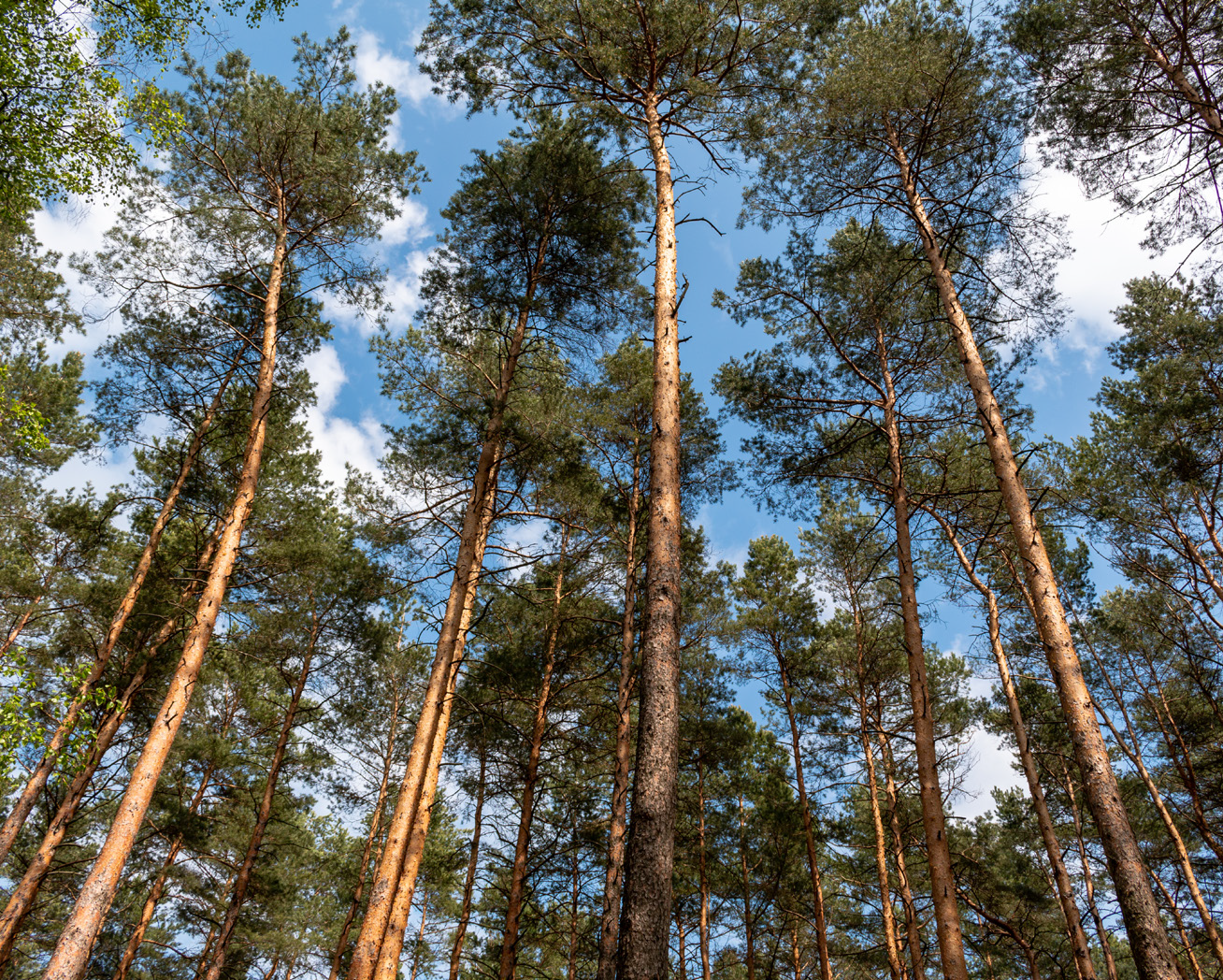
Preserved Monument of Nature-Beech Forest (Tsichla Location)
At a distance of 12 km from the Forest Village of Erymanthos is the Beech Forest, at Tsichla at an altitude of 1.500 m. It extends over an area of 180 acres and has been designated as a Conserved Monument of Nature, due to its undisturbed beech stands and its ecological, botanical and aesthetic value.
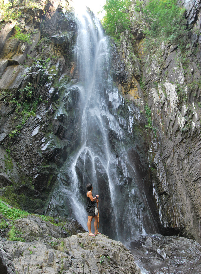
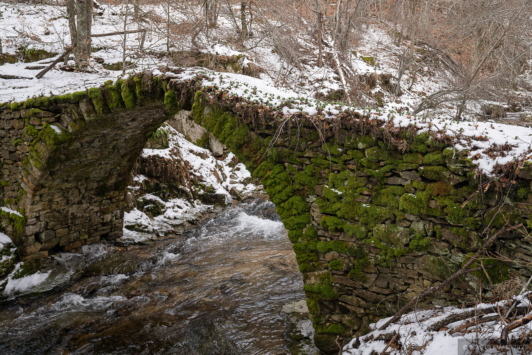
Leonidas Bridge
The bridge of Leonidas is single-arched and is located in Arkoudorema, 18 km northeast of the village of Livaditi. It is built at a 1.240 m. altitude and is one of the highest points where a bridge has been built in Greece. During the Balkan Wars (1912-14) there was a great battle on the spot, as the Bulgarians had tried to capture it. The battle was won by the Greek Army, but the Chief Commander Leonidas lost his life. The bridge was named after him.
