A1 Hiking route of Stavroupoli - Kallithea
Posted by : GRadmin@ecotournet.net on 24.Sep.21
Last update by : GRadmin@ecotournet.net on 31.Oct.21
Hiking Route Α1
Stavroupoli - Kallithea
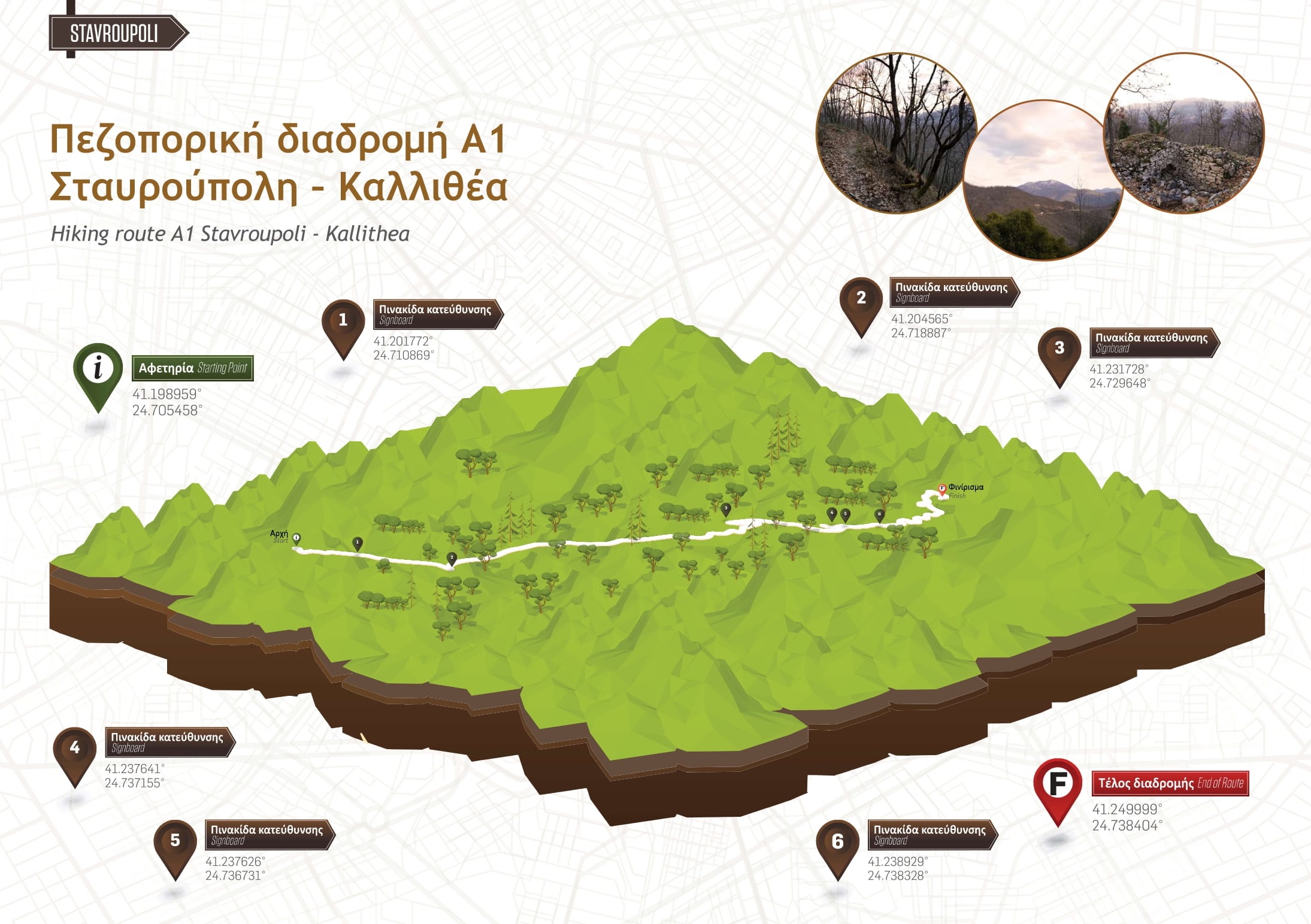

Information on Route
Circular No
Length 9.2 km
Degree of difficulty Moderate Difficulty
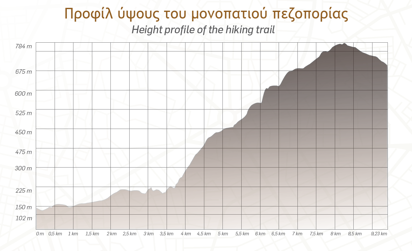
Minimum altitude 110 m
Circular 785 m
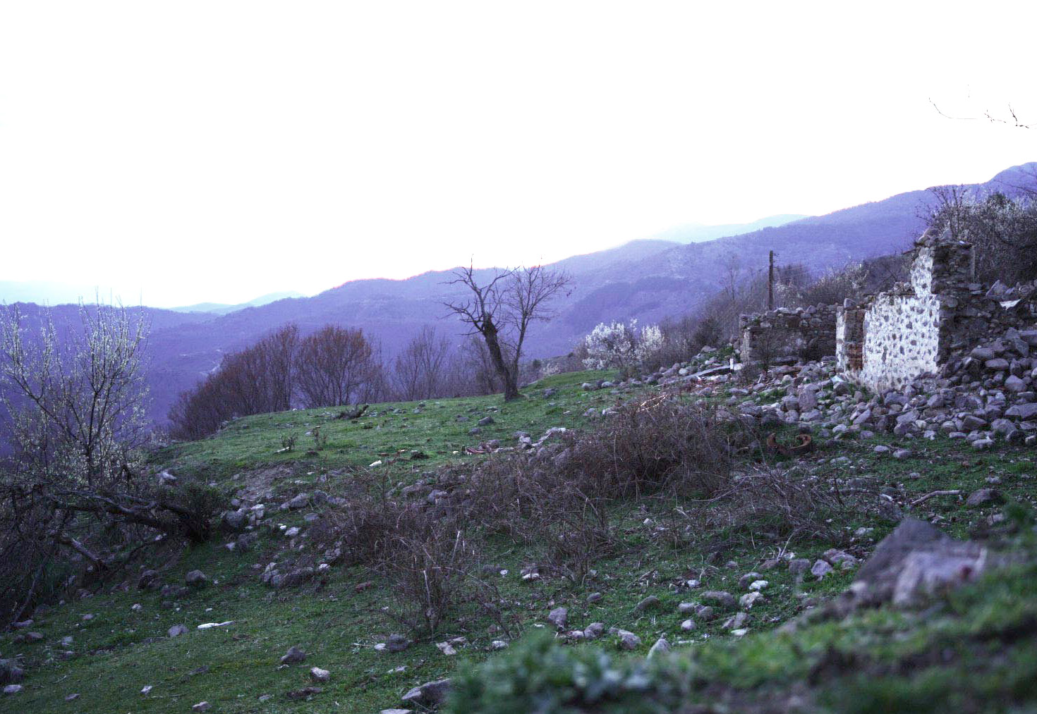
Points of interest Erymanthos Forest Village, Monument of The Fallen, Livaditis waterfall
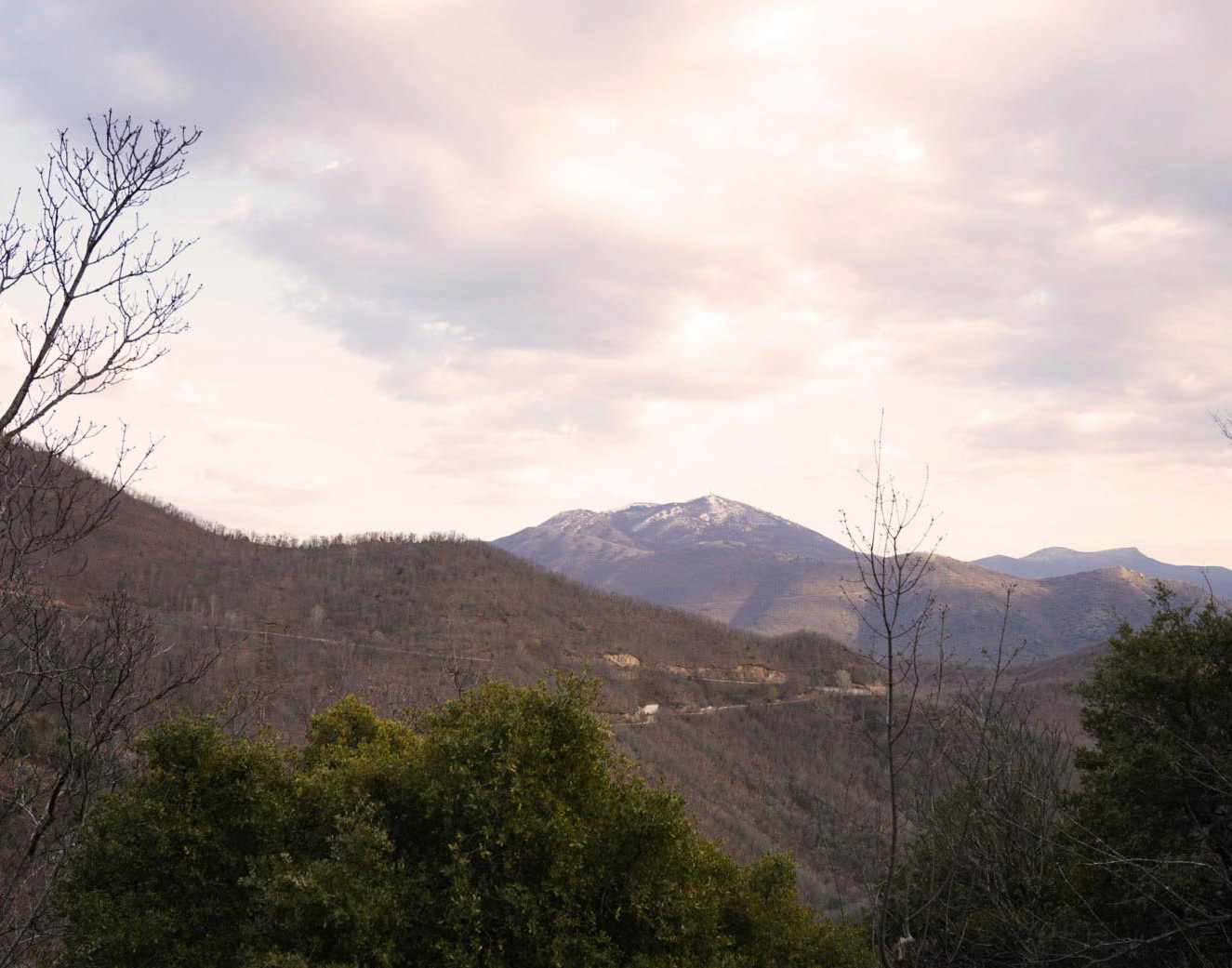
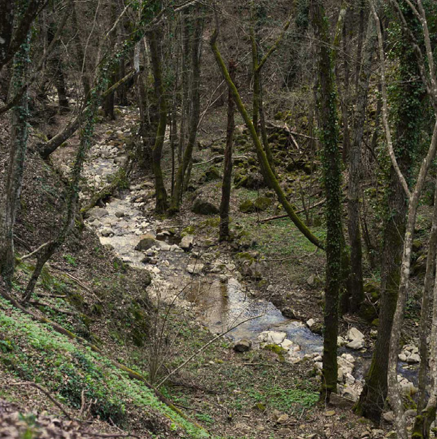
The route starts from the square of the settlement of Stavroupoli and is directed to the abandoned settlement of Kallithea. The estimated time is 4 hours and the journey is characterized by moderate difficulty.
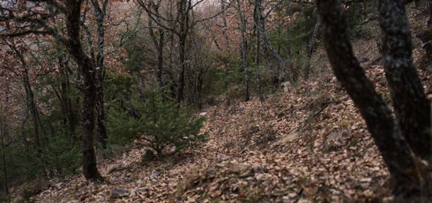
Starting from Stavroupoli square, the route follows a dirt road for 1.5 km, in a northeast direction, which ends at the chapel of Agia Paraskevi. From this point begins the path to Kallithea, which is also characterized as a national path (E6) and ascends to a 780 m altitude, in a wooded area.
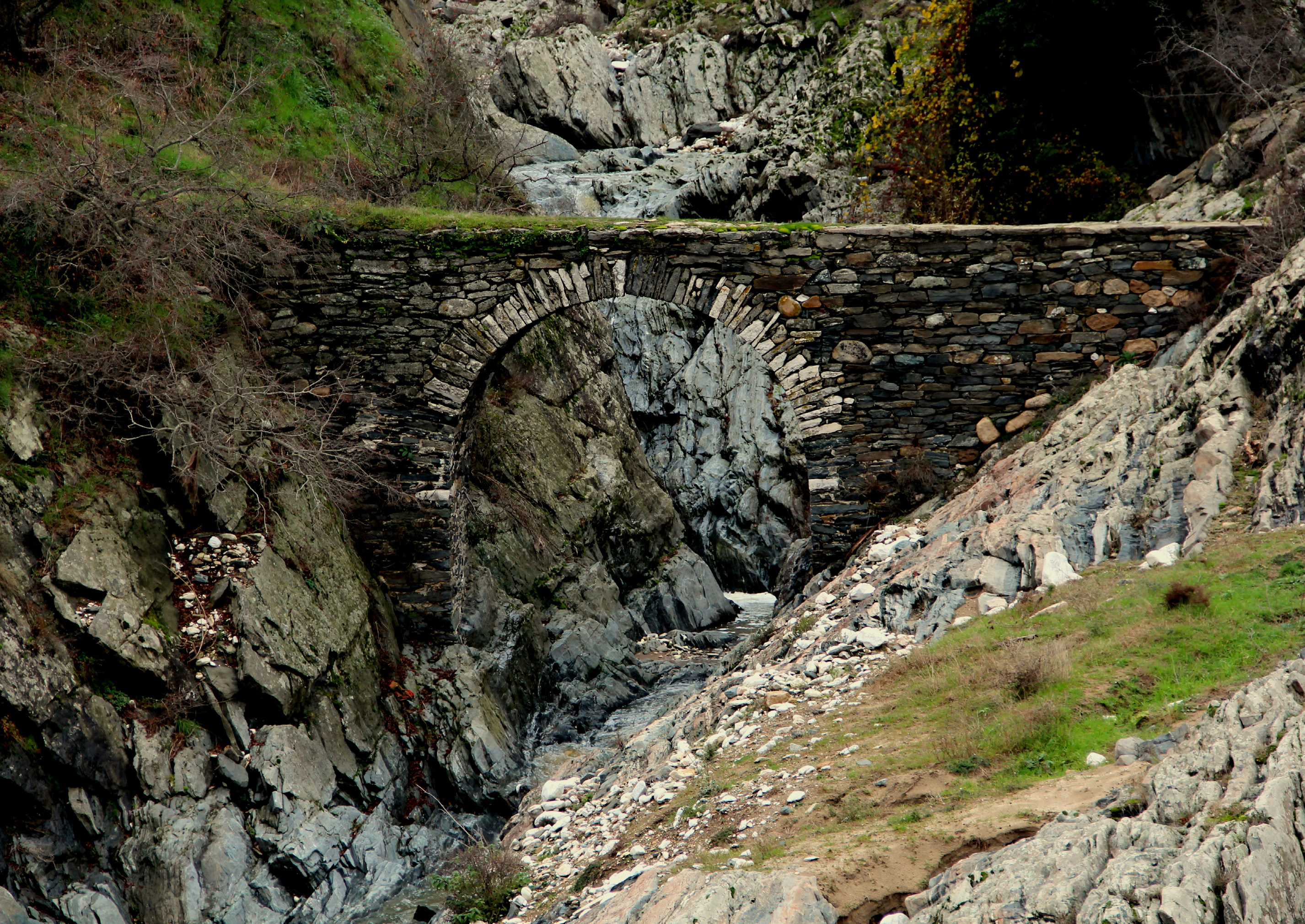
The route was followed by the inhabitants of the area and was the main connection between the settlements of Stavroupoli - Kallithea, something that testifies the stone cobbled path at the beginning of the path. In case of emergency there is access by dirt road to the 4th, 5th and 6th km of the path.
Route A1 | Asphalt Provincial Network Dirt road - Forest road - Path
The route starts from the square of the settlement of Stavroupoli, therefore initially it moves on an asphalt provincial network, to the point where it meets a dirt road, until the church of Agia Paraskevi. From this point onwards the hiker moves on a path to the settlement of Kallithea. Access via road network is possible at the place where the church of Agia Paraskevi is located. From there the hiker meets at three points a forest road, which is passable and easily accessible.

