Yeniköy Hiking Trail
Posted by : systemadmin@ecotournet.net on 12.May.21
Last update by : systemadmin@ecotournet.net on 24.Oct.21
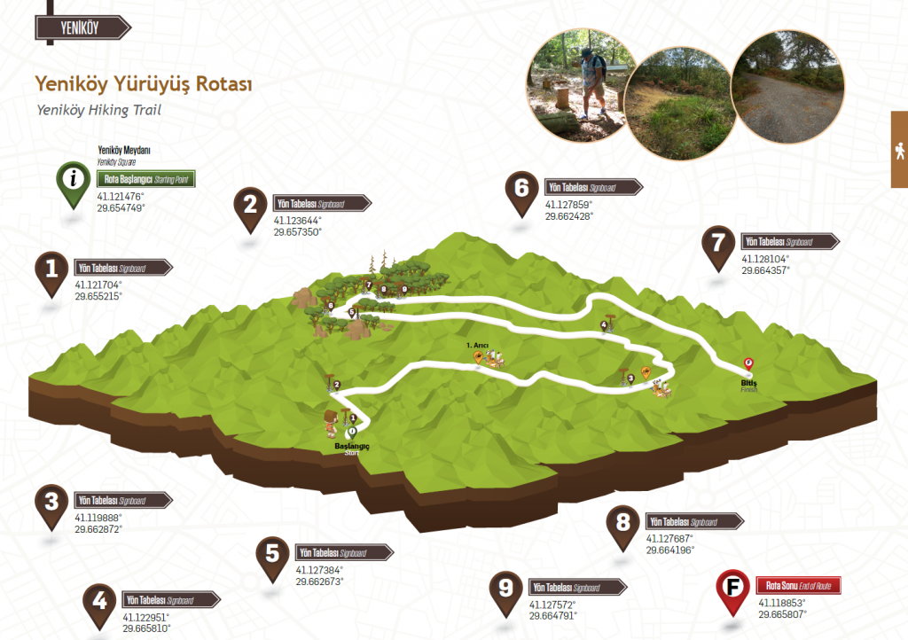
YENİKÖY HIKING TRAIL
Length
12 Kilometers
About 2,5-3 hours
at an average pace
TRACK 1-2-3
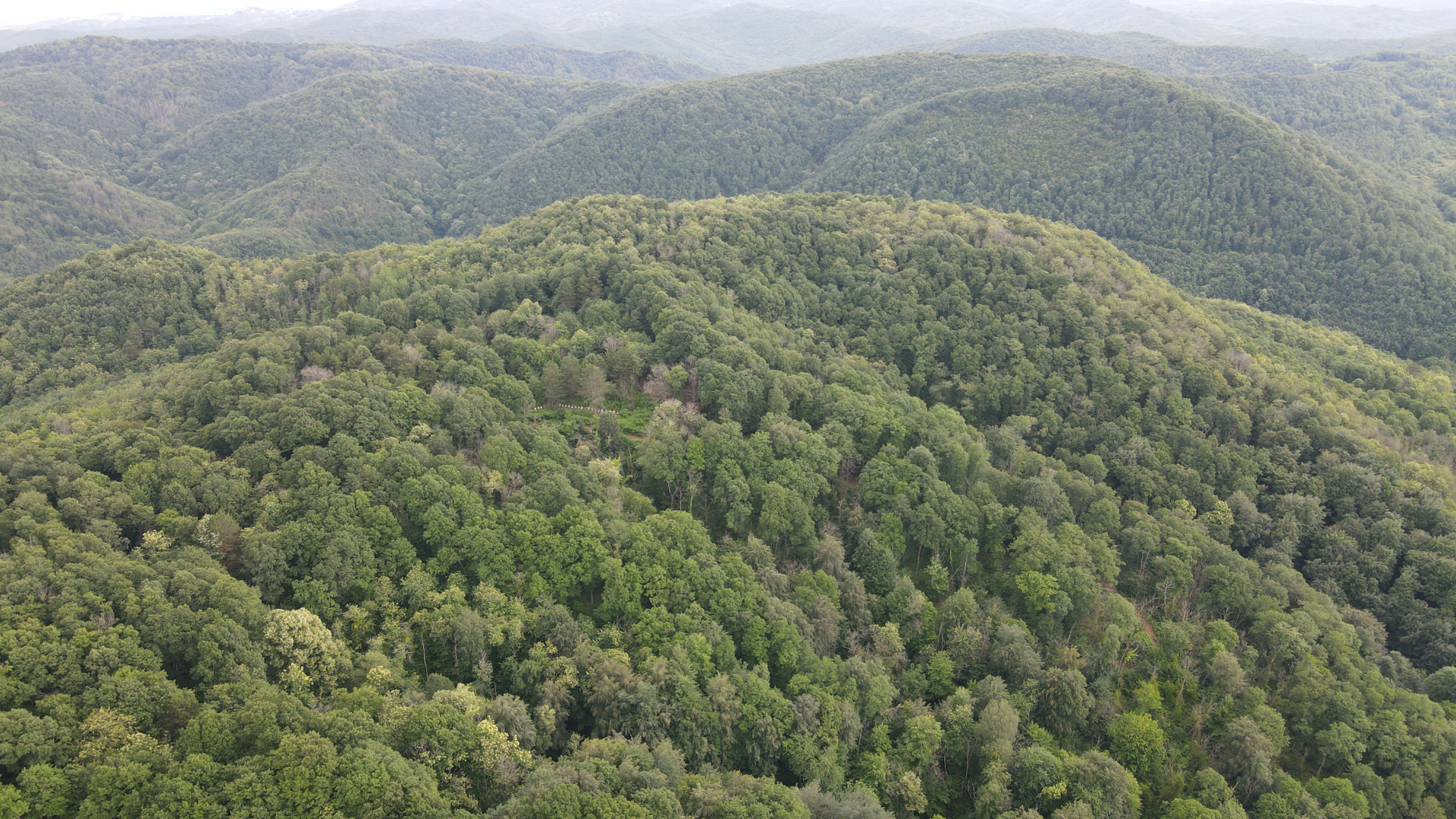
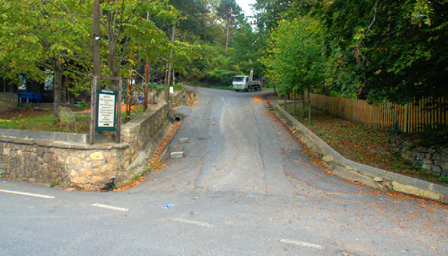
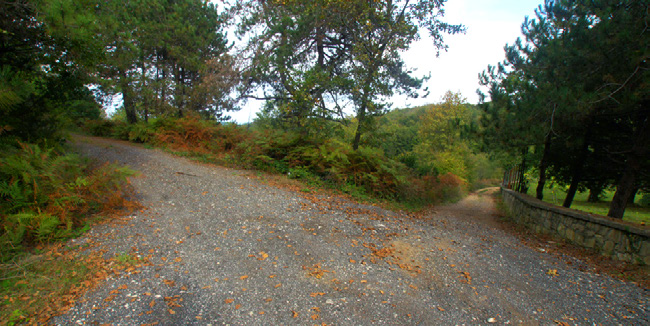
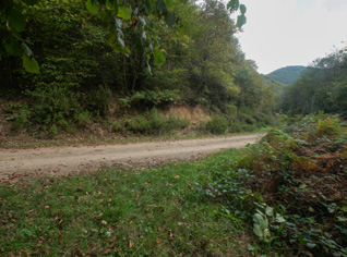
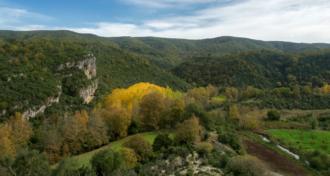
Yeniköy is located about 10 kilometres southeast of the centre of Şile. Approximately 12 kilometres long hiking trail starts from Şile Ağva main road junction in Yeniköy square, where Hrastova Kır Casino is located, and follows the ridge in the northeast part of the village and reaches the Yeniköy asphalt road by visiting the best-preserved forest areas of Şile. There are grocery stores benches in Yeniköy village square where hikers can meet their daily needs.
TRACK 4-5-6
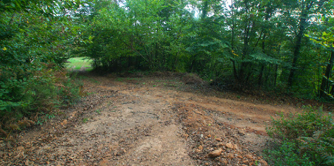
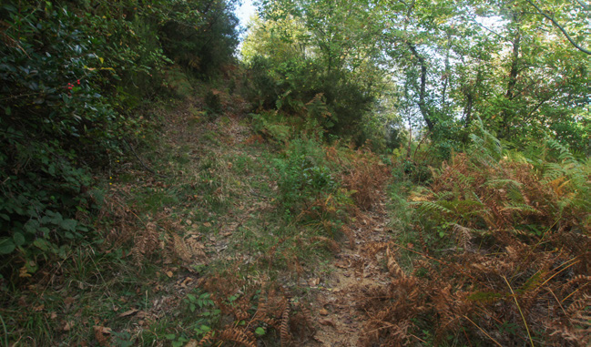
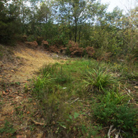
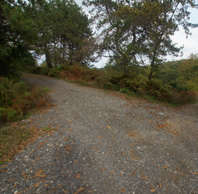
The trail continues with slight descents and ascents along the slope up to the signboard no 5. This is obviously an old forest road that was opened in time; however, it is not used today because it does not reach anywhere. Although the beginning of this road is clean, some parts of it ahead are covered with long grasses and plants. However, those do not prevent you from hiking and can be easily overcome. Signboard no 4 is located at the only crossroads between signboards no 3 and 5, and another forest road splits upwards from here. Some parts in this section can be muddy on rainy days, it is worth paying attention. This stage is not very challenging due to its straight structure. You will see that this wide forest road ends at the point where signboard no 5 is located.
Who Is The Route For?
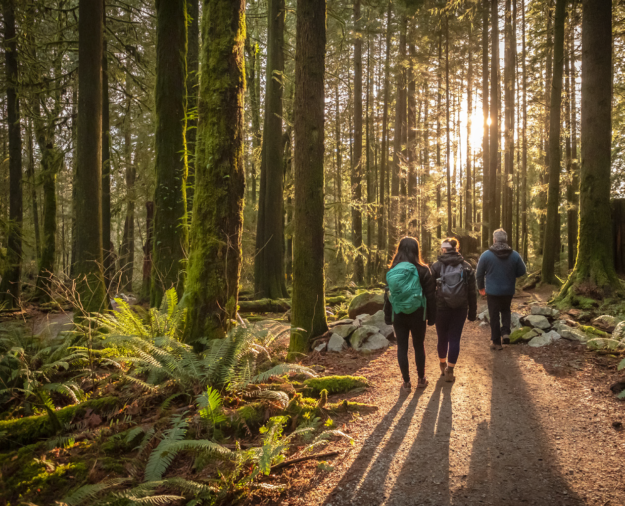
The Yeniköy 12-kilometre hiking trail is suitable for daily visitors. Hikers can reduce this trail to 5 kilometres. In this way, you can both have the opportunity to hike and have time for sightseeing, shopping and other activities.
TRACK 7-8-9
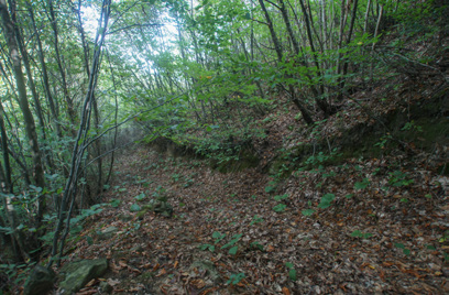
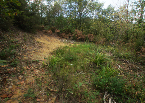
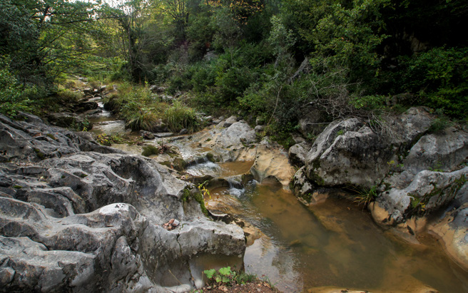
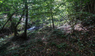
The trail continues downward from signboard no 6. The forest road is covered with trees and bushes in some places. The last part of the forest road, where it approaches the valley ground, is quite steep and bad due to the rain water flowing from above. It can be quite muddy during the rainy season, so you need to be careful while hiking. As the signboard no 7 is reached, the valley floor through which Yeniköy Stream flows is reached. Signboard no 8 is located at the crossing point of the stream. You can easily cross the stream except in rainy seasons. You will reach a straight earth road running parallel to the stream at the valley floor immediately after crossing the stream.


The Difficulty Of The Trail
This trail is quite easy except for steep climbing sections. As such, it can be placed on the second difficulty level. The trail, with a straight or slightly ramped route with a single steep descent, is ideal for day-trips who want to hike for a few hours. The trail is located just a few kilometres from the village and the main road, although it leaves the impression of an untouched piece of nature.

Interactive Map
-
Starting Point

-
Starting Point

-
Starting Point

-
1

-
1
-
2
-
2

-
2
-
2
-
3
-
3
-
3
-
3

See More
Sarikavak Castle Hiking Trail
Read
Sarikavak Castle Hiking Trail
Read-
TRadmin@ecotournet.net
02.Sep.2021 08:52
çok guzel bir parkur