Sakral’na-Khortytsya 'Light Blue' Cycling Route
Posted by : UAadmin@ecotournet.net on 27.May.21
Last update by : UAadmin@ecotournet.net on 30.Oct.21
interactive map
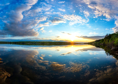
The length of the route is 41.3 km. The route is mapped along the Dnipro River. The route runs along paved roads, as well as country roads, paths and beaches. The route provides arms from the main route to some interesting places.
From the Max Grant Center, tourists go northwest along Peremohy str. to the intersection with Serhii Tiulenin str. to the pedestrian crossing (point No. 2). Further along the bikeway, tourists go south-east across the Dnipro River along the Preobrazhenskyi Bridge to the Khortytsia island.
• WC;
• Opportunity to recharge electronic devices (phone, tablet);
• Souvenirs;
• Drinking water and delicious Ukrainian dishes.
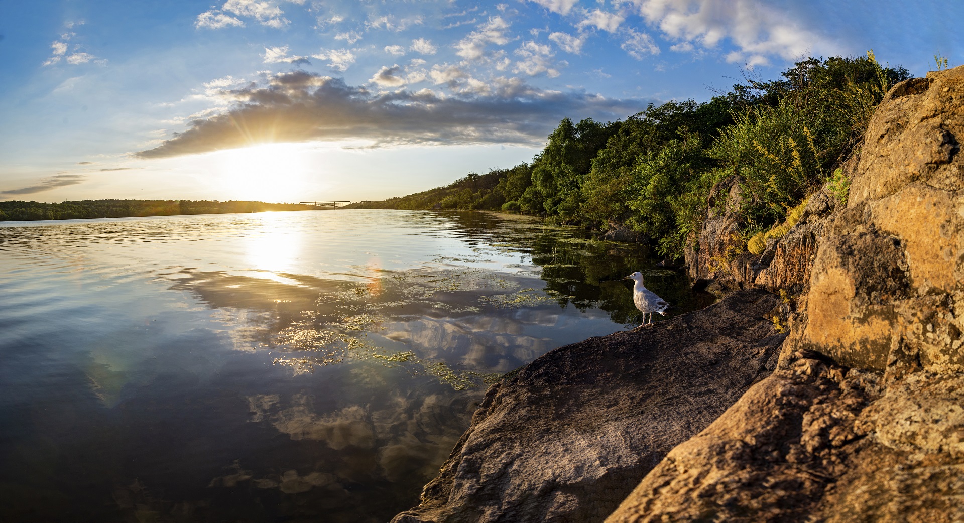
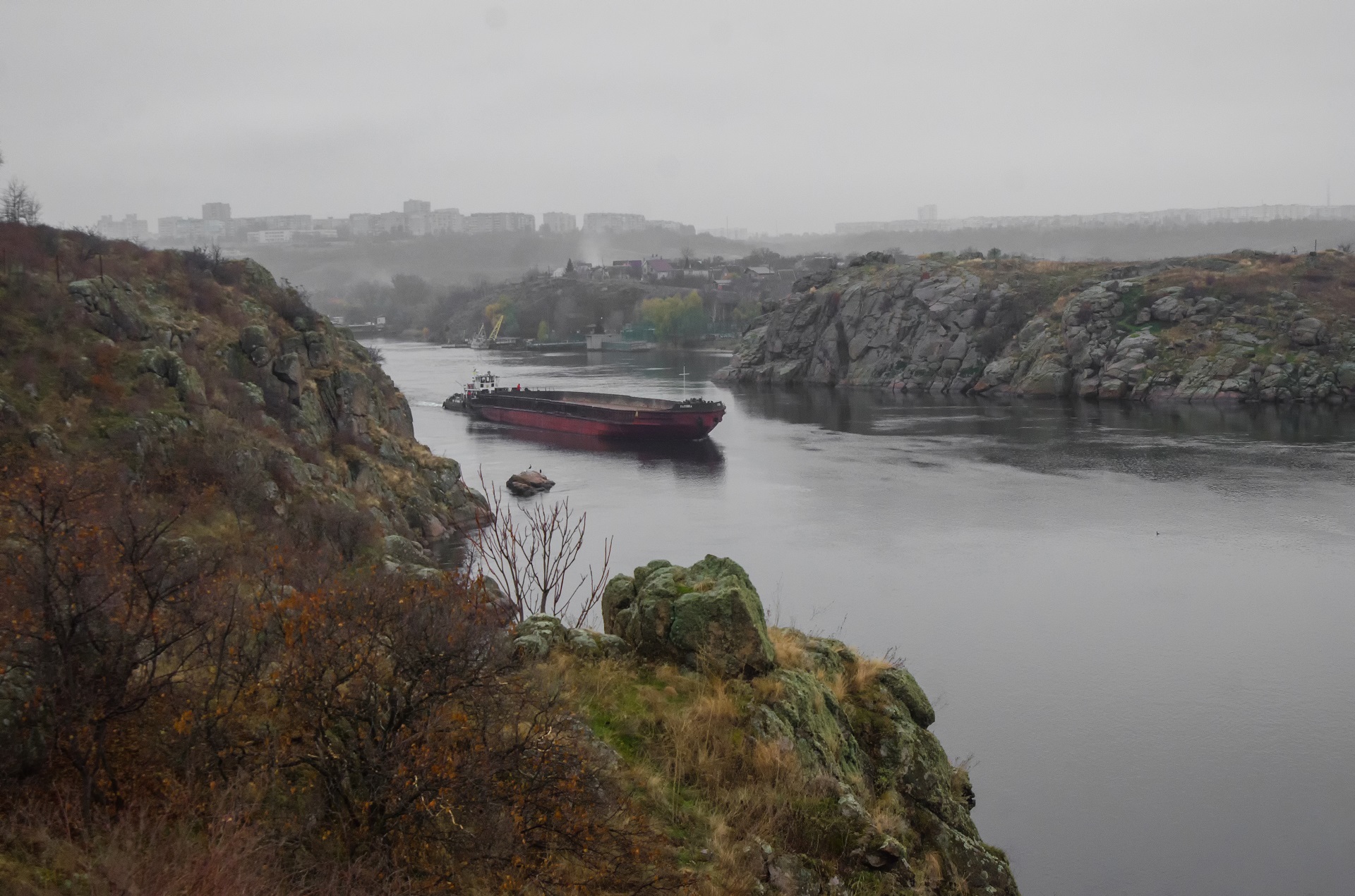
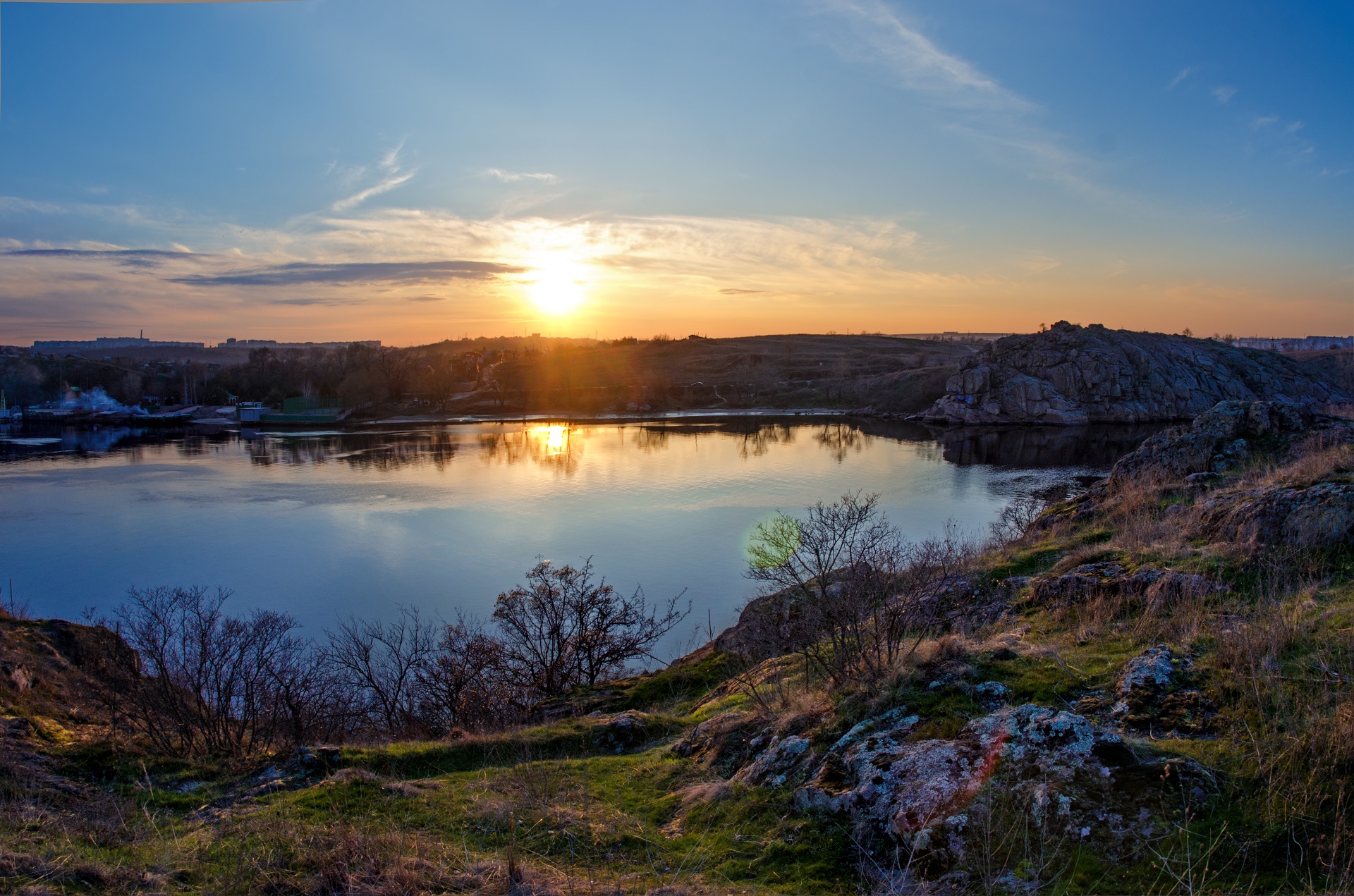
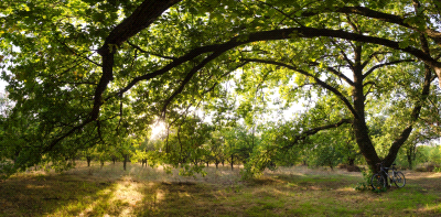
First, the route includes a visit to the northern part of the island. A lot of tourist sites are concentrated here, which are located next to the picturesque natural landscapes. This is the most overtopped part of the island above the river, the highest rocks are located here, while the Northwestern part is slightly higher than the north-eastern one. A distinctive feature of the northern Khortytsia is a large number of forest stands, both coniferous and deciduous - it is forests that occupy most of the territory of this part of the island.
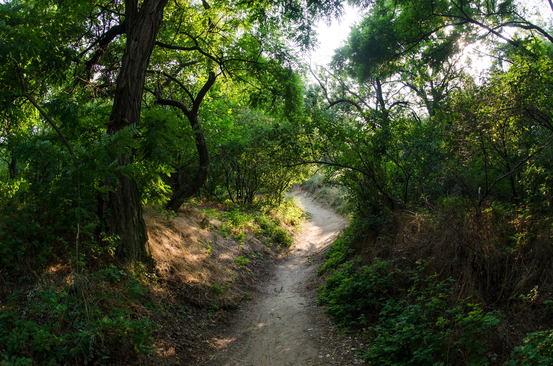
Point No. 3 - monument to Cossack Mamai. Land cover is asphalt.Further, the route runs along the riverbank and through the forest to the historical andcultural complex Zaporizhzhia Sich (point No. 4). On the way, tourists can visit the ancientsanctuaries - Tryglav, Egg, etc.
Further, the route runs along the path along the river bank (Tarasov’s path) to the highway. Along the highway move along the sidewalk to a pedestrian crossing (points No. 6 ... 8). Go to the other side of the road.
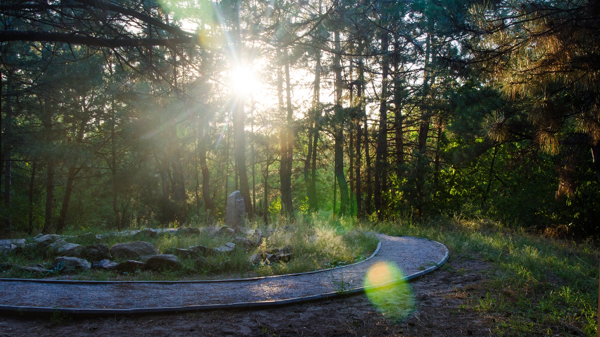
Further, the route runs along paved roads and along country roads (points No. 9 ... 14) to the next location. On the way, one can visit the oldest oak tree on Khortytsia (over 300 years old), a picturesque maple alley, redoubts from the Russian-Turkish war of 1735-39, the Memorial to Fighters for Freedom of Ukraine.
Khortytsia National Training and Rehabilitation Academy is the next stop (point No. 15). It provides for the arrangement of recreations - the installation of outdoor furniture: canopy and table with benches. Further, the route was mapped along paths and roads along the Dnipro bank along the western edge of the island through Naumova balka, the health and recreation resort of Zaporizhstal PJSC, Tourist Beach, the Staryi Dnipro village, the Zaporizhzhia Sich village to point No. 19.
Tourists pass the two-level transport interchange on foot along the pedestrian sidewalk - 100m. Further, the route runs along the T0806 highway along the sidewalk through a pedestrian crossing to point No. 20.---The further route lies in the central part of the Khortytsia island. This segment of the island is a hill covered by steppe. The main types of landscapes here are the real steppe, mainly located along the river banks, and the ravine forest located in balkas and ravines that cut into the steppe.
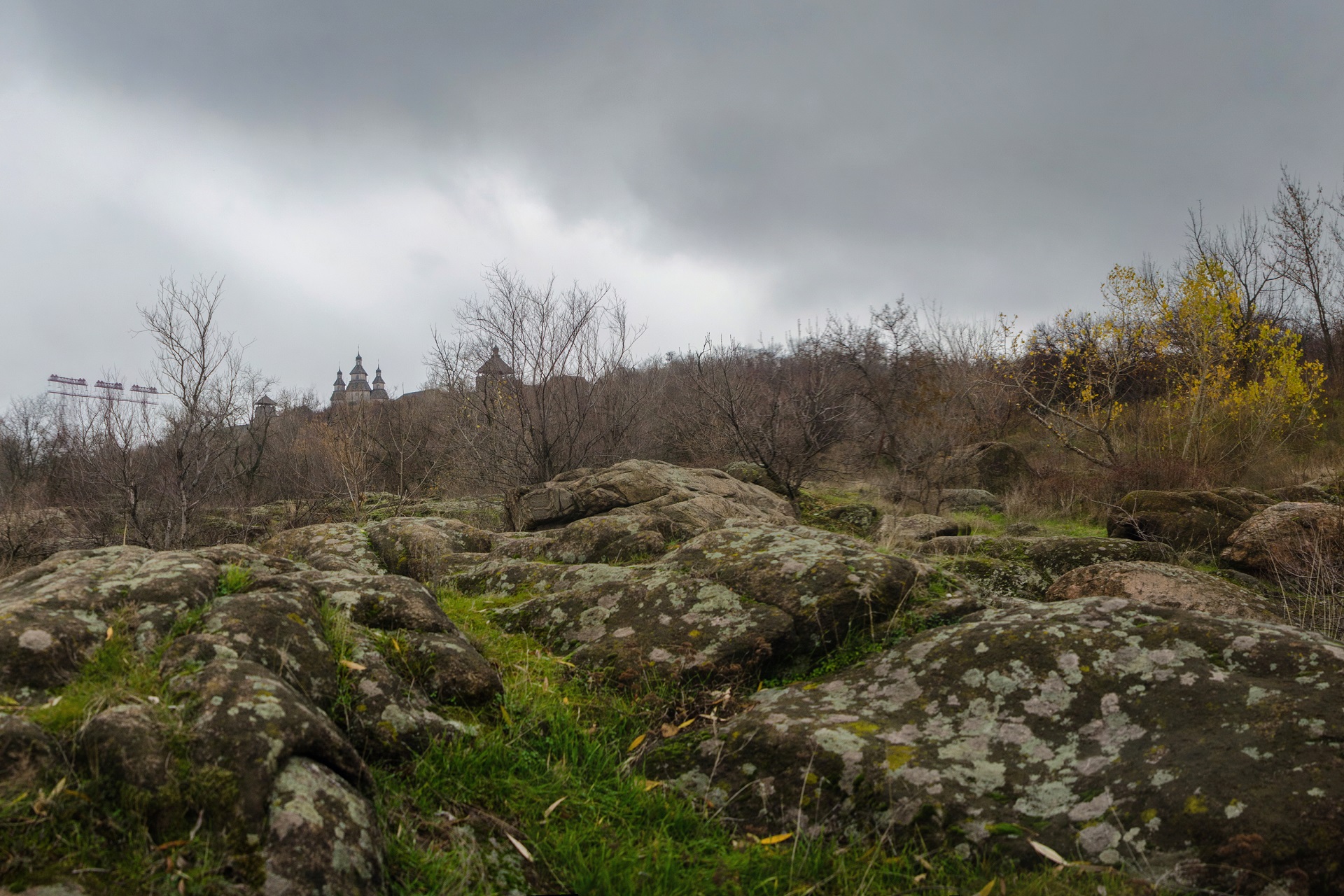
In the central part is the highest point on the Khortytsia island, which offers a breathtaking view of the city and Dnipro. There is an openair museum at this point - the historical and cultural complex “Scythian Stan” (point No. 23). The route is mapped along an asphalt road. The route from point No. 23 to point No. 24, located in the Ovochevnykiv village and further passes along the asphalt road.
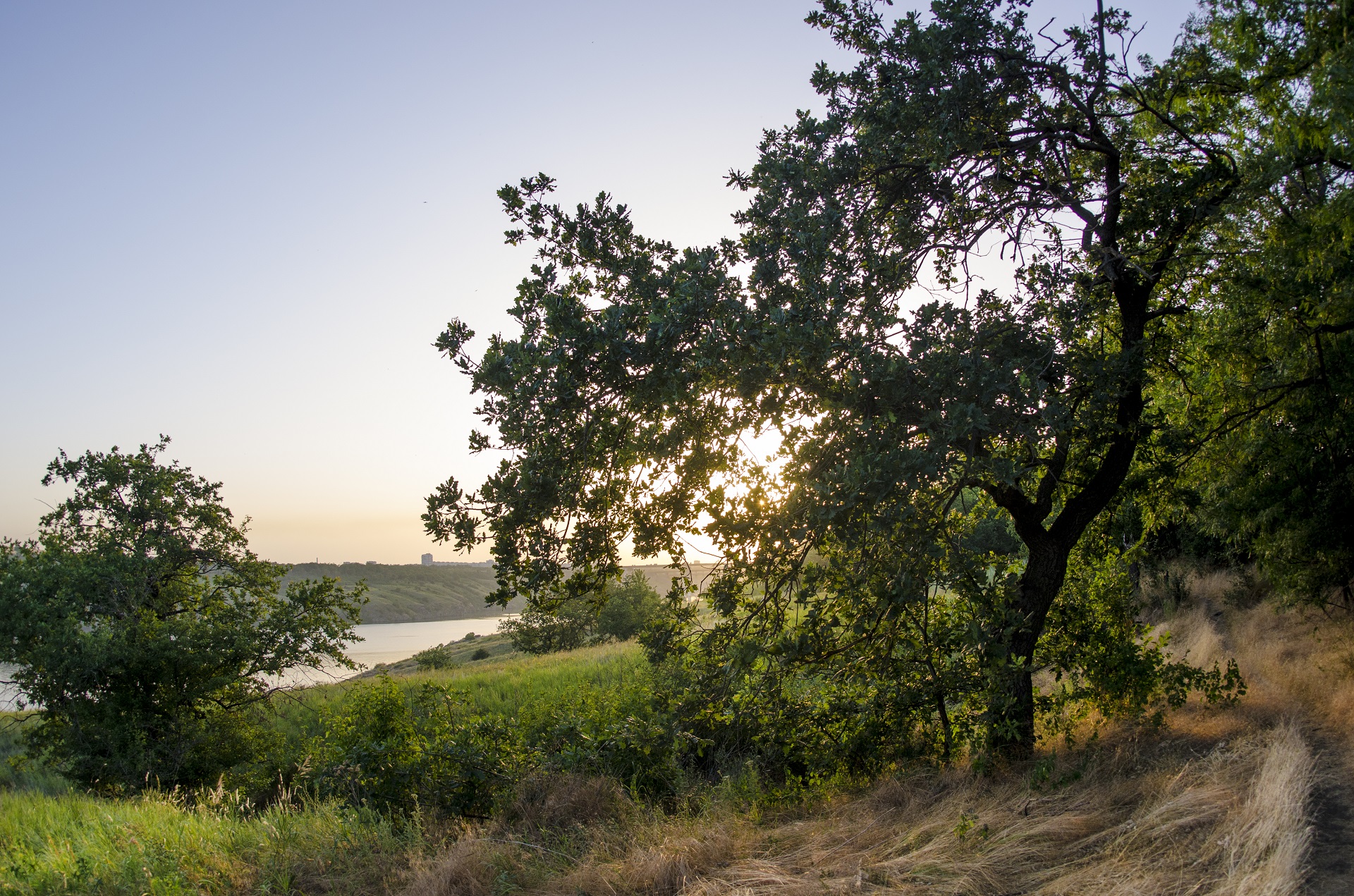
After point No. 24, the route was mapped along country roads along the border of the southern part of the Khortytsia island. The southern part of Khortytsia is untouched, most of it is occupied by meadows and flooded forests, as well as numerous lakes, streams and bays. Here lives the largest number of animals, birds and insects of the Khortytsia island. Flooded areas of Khortytsia is a zone of absolute preservation, any human intervention in the natural world is prohibited here, and silence reigns around, occasionally interrupted by birds’ singing and rüştle of centuries-old trees. Since this part of Khortytsia is the most remote from the main roads, this part of the island is the most quiet and comfortable. A special microclimate of the near-flooded and lake parts of Khortytsia is noticeable here - more humid and cooler clean air, steppe landscapes are changed by meadows and forests, a large number of insects and reptiles. The surface height drops sharply here, in some places reaching the very level of the Dnipro water. The landscape in the lowlands is marshy, sometimes flooded with water, there are streams and small streams connecting separate lakes. The following wild animals live in the flooded areas of Khortytsia: roe deer, wild boars, and even deers.
Interactive Map
See More
Khortytsia Island Visiting Places
Read
Environmentally Friendly Bicycle
Read
Sakral’na Khortytsya 'Yellow' Cycling Route
Read