Cycling Trails - Tekekoy
Posted by : TRadmin@ecotournet.net on 11.May.21
Last update by : TRadmin@ecotournet.net on 27.Oct.21
Teke Village
Bicycle Trail
Total:
45 Kilometers
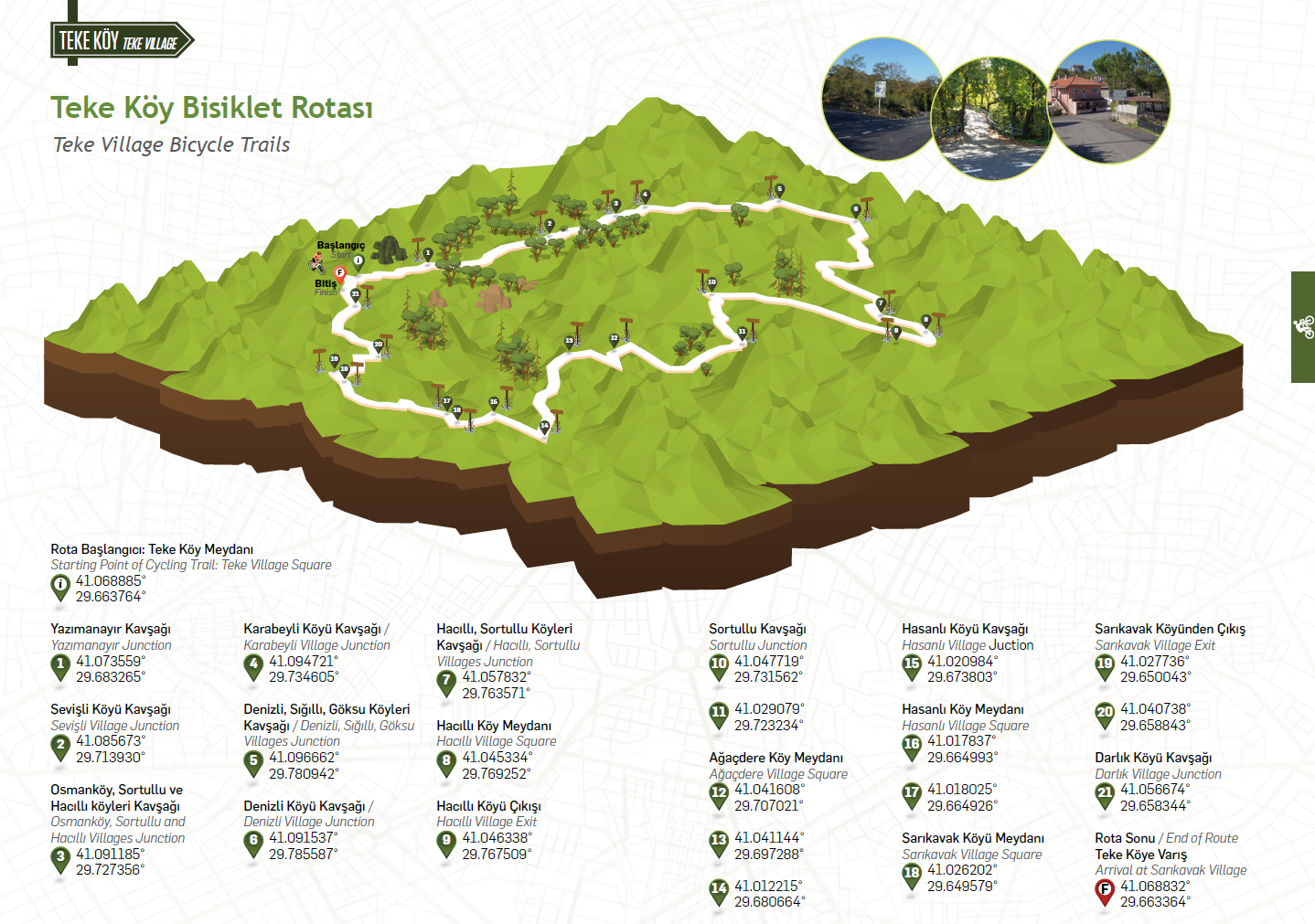

TRACK 1-5
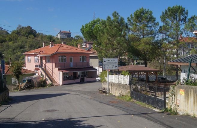
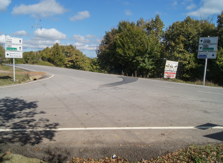
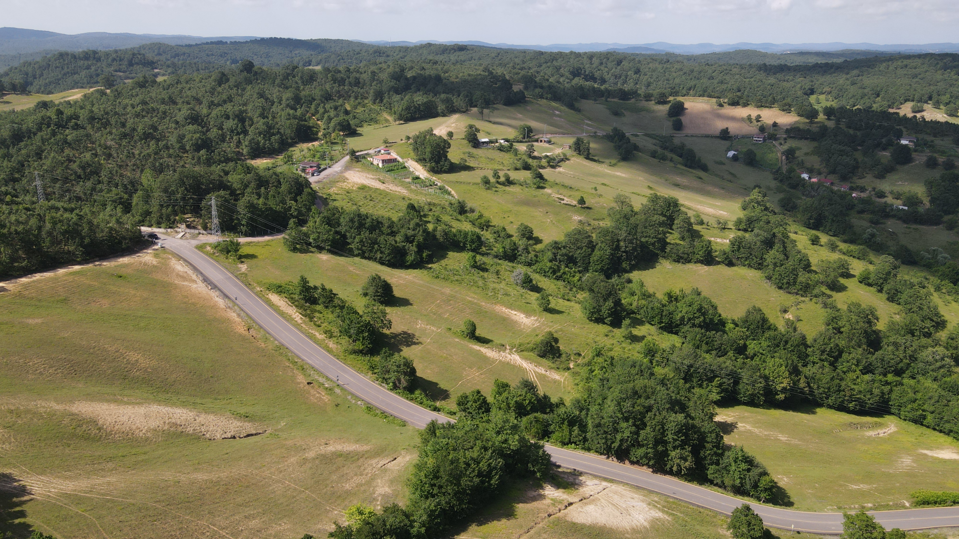
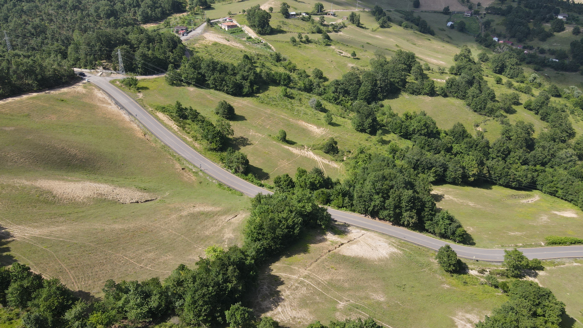
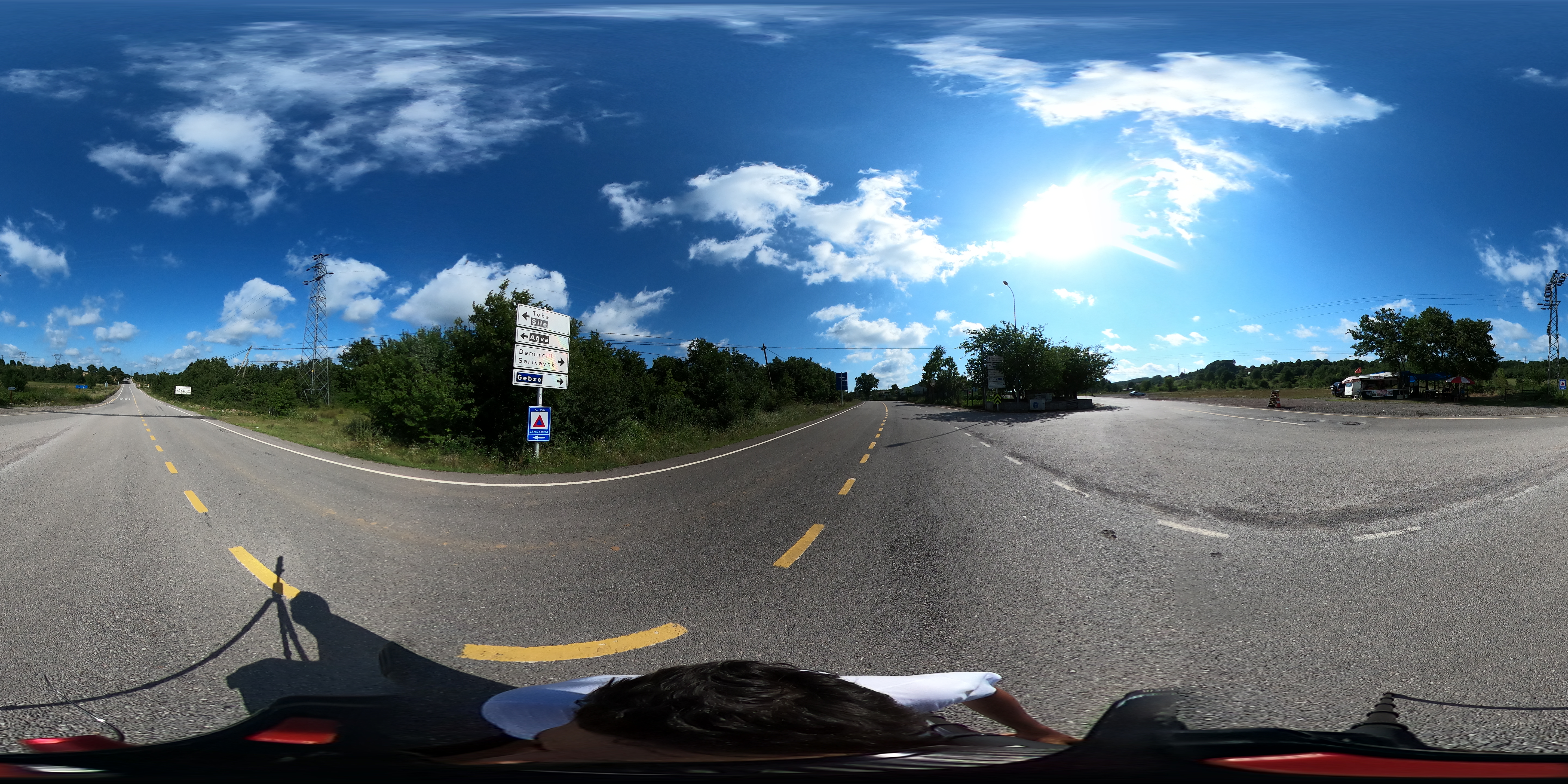
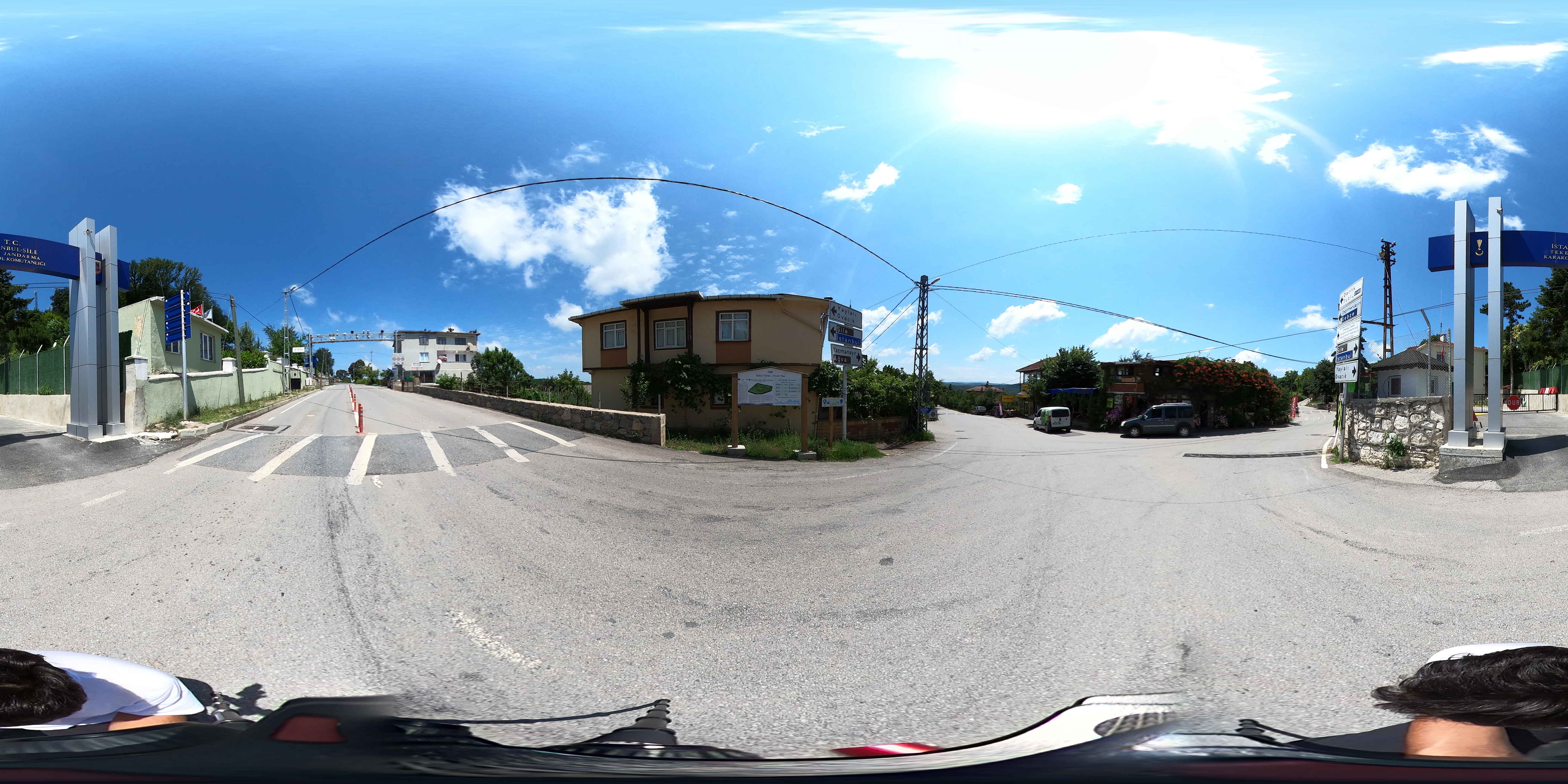
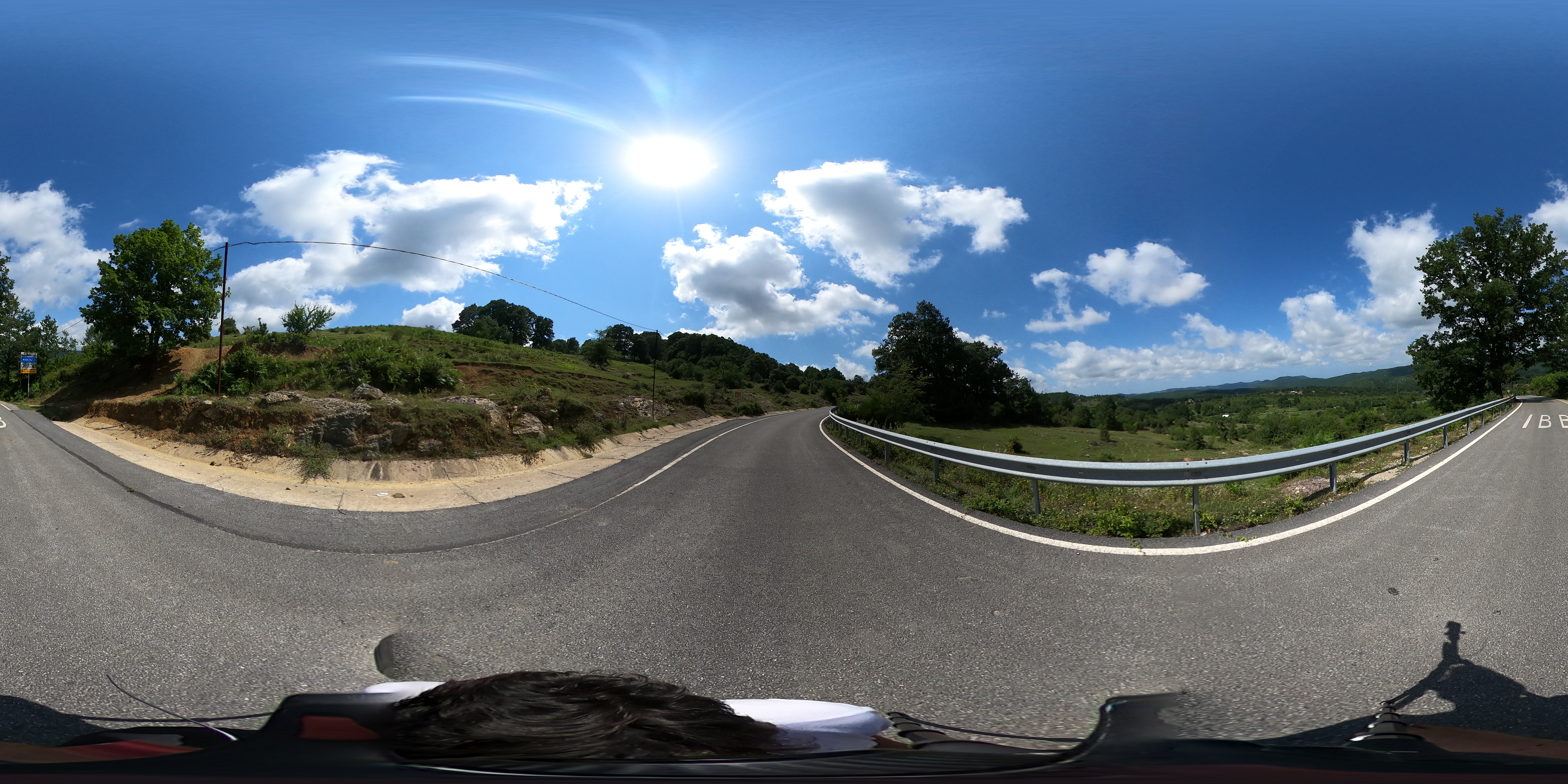
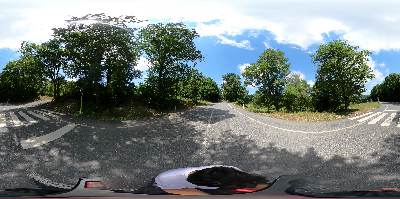
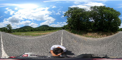
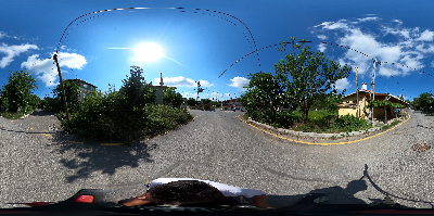
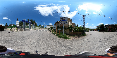
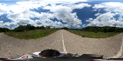
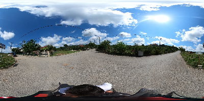
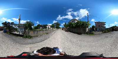
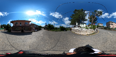
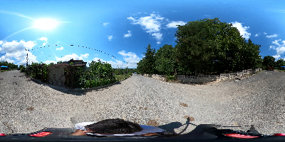
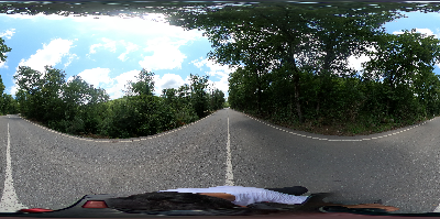
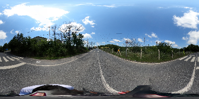
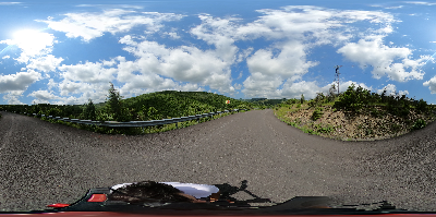
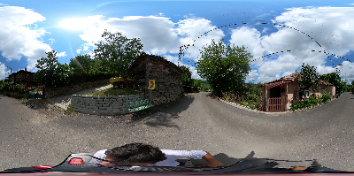
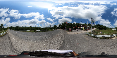
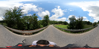
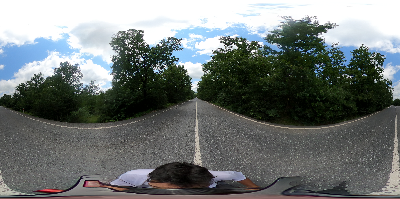
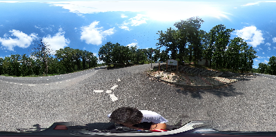
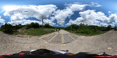
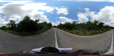
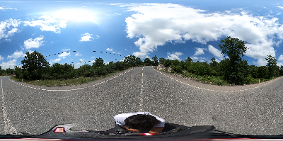
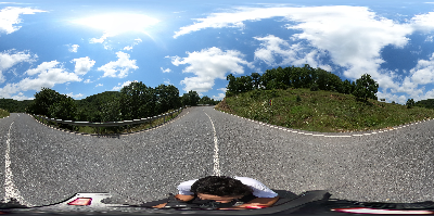
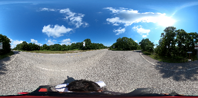
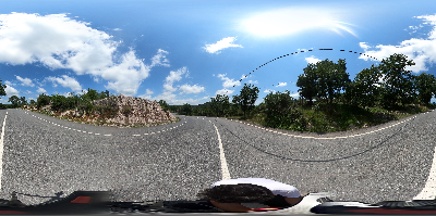
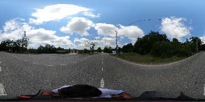
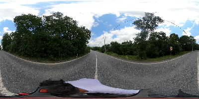
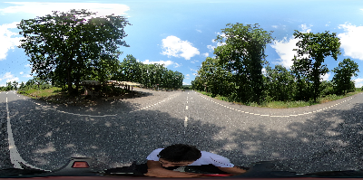
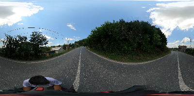
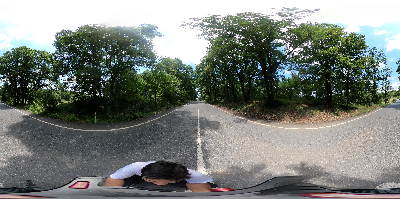
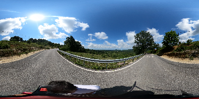
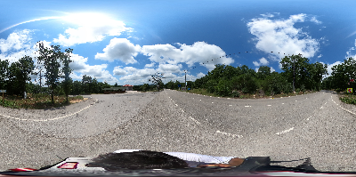
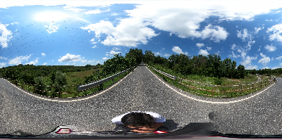
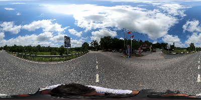
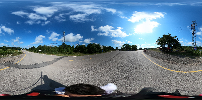
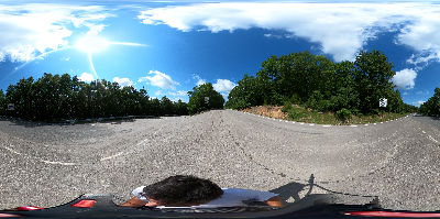
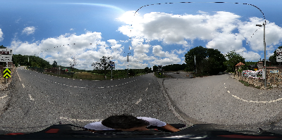
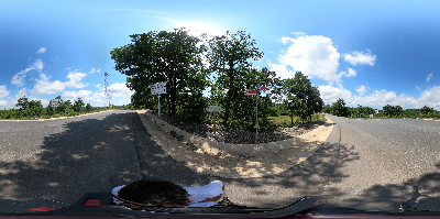
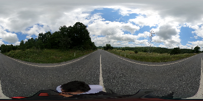
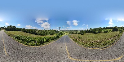
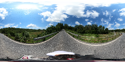
This track, which is completely asphalt, starts from the four-road junction where the gendarmerie station is located in Teke village square. 11-kilometre section between the beginning and signboard no 5 continues on the main road between Teke village and Ağva. This section is a straight track that consists of slight descends and ascends. Attention should be paid since the traffic is very dense on weekends, especially in the summer months.
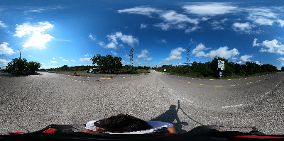
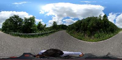
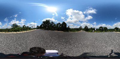
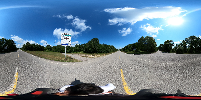
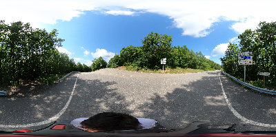
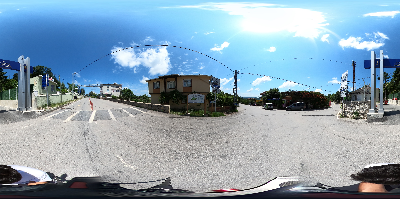
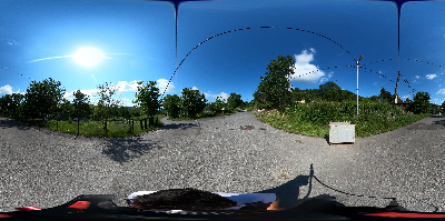
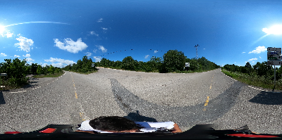
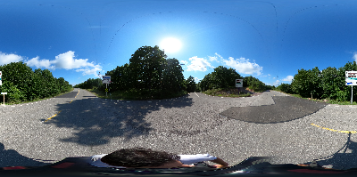
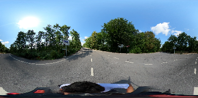
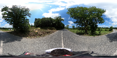
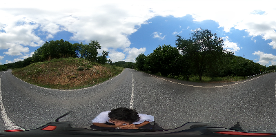
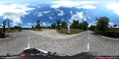
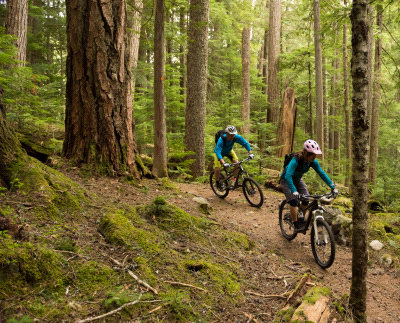
TEKE KÖY CYCLING TRAIL IS COMPLETELY ASPAHLT. YOU CAN COMFARTABLY RIDE YOUR BIKES.
TRACK 6-10
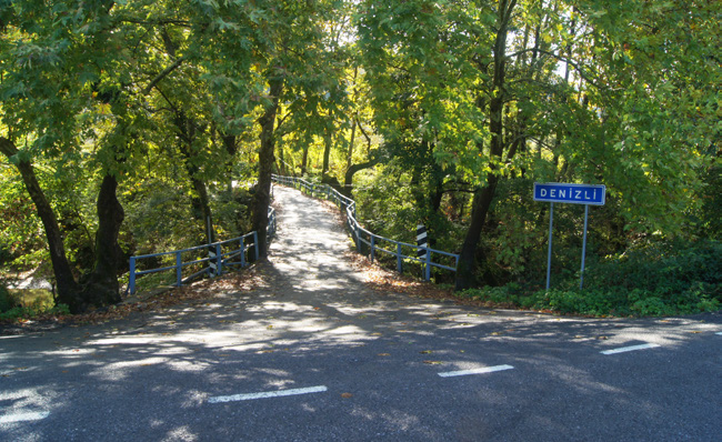
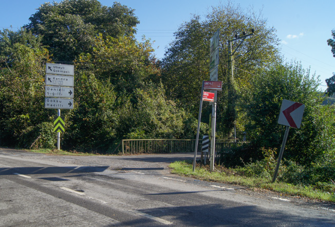
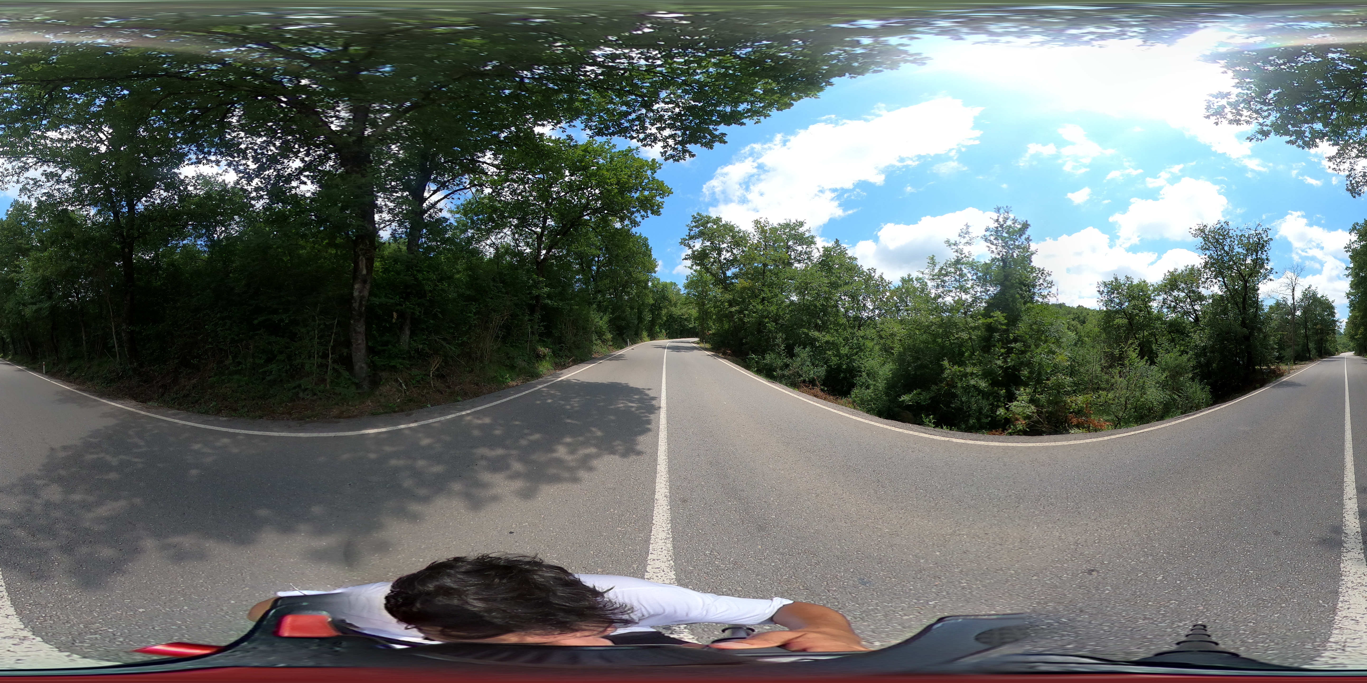
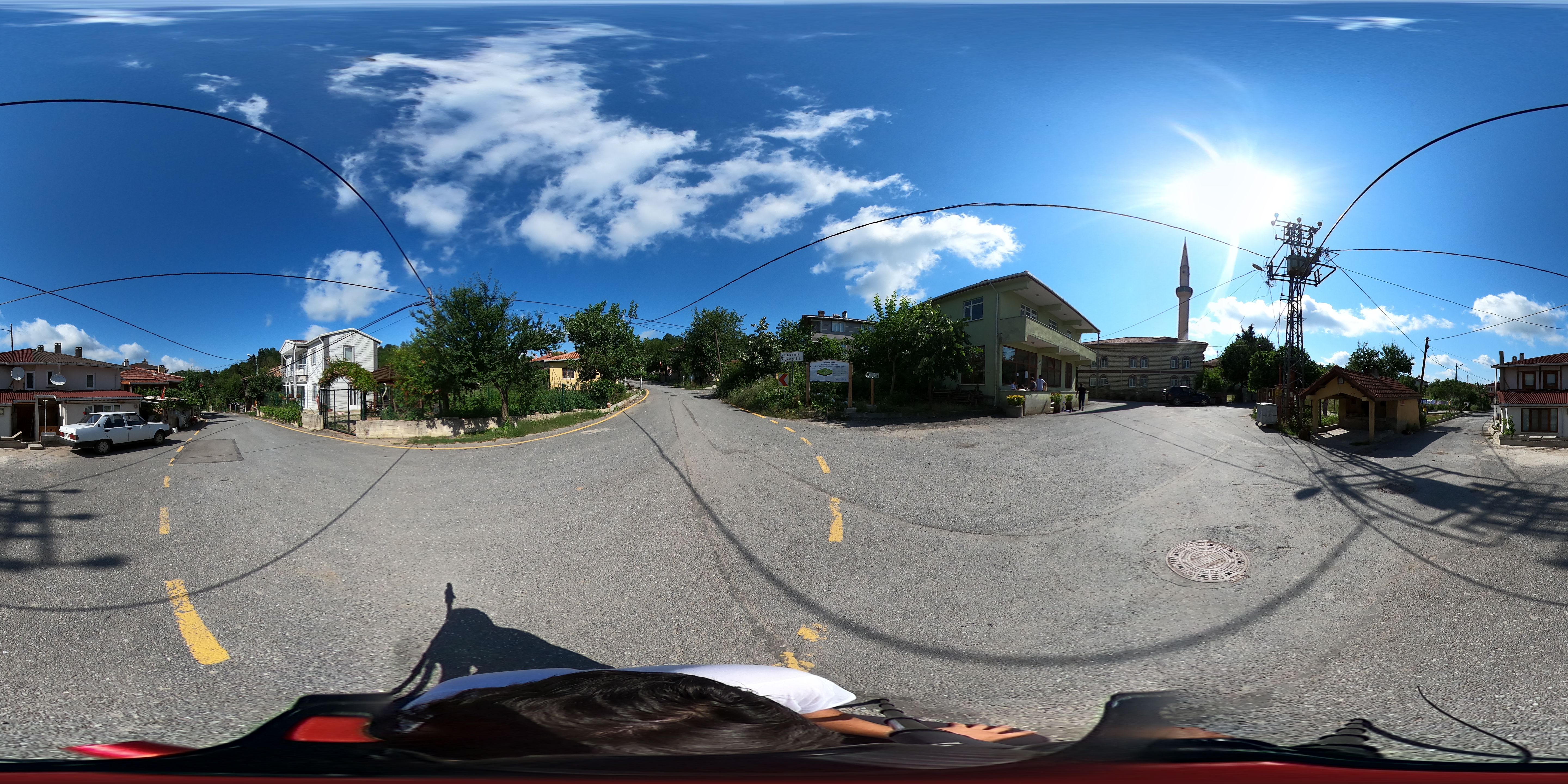
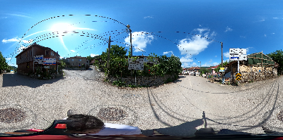
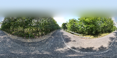
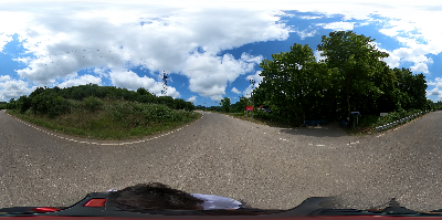
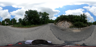
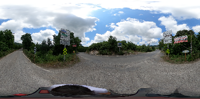
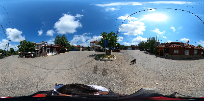
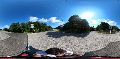
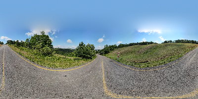
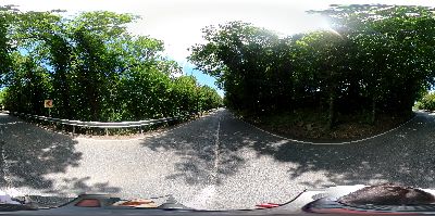
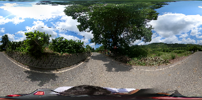
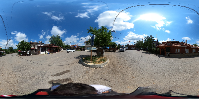
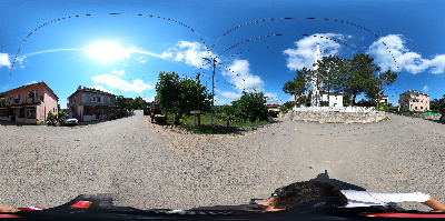
After the signboard no 5, the track continues over the secondary asphalt roads that connect the Şile villages in the region. You will reach the Sığıllı village first and then Göksu village after passing the Denizli village turn, where the signboard no 6 is located. The first long ascent of the track starts from the Village Göksu to the crossroads where signboard no 7 is located. The distance between signboard no 5 and 7 is 7 km. The road from here continues straight and ends at the Hacıllı village square, where signboard no 8 is located. There is a grocery store and village coffee house in H acıllı where daily needs can be met. Here you can take a short break and continue down the road by following the signboard no 9 at the Hacıllı village exit. There is the second serious ascent stage of the track towards the signboard no 10. It is approximately 4 kilometres between signboards no 8 and 10.
TRACK 11-17
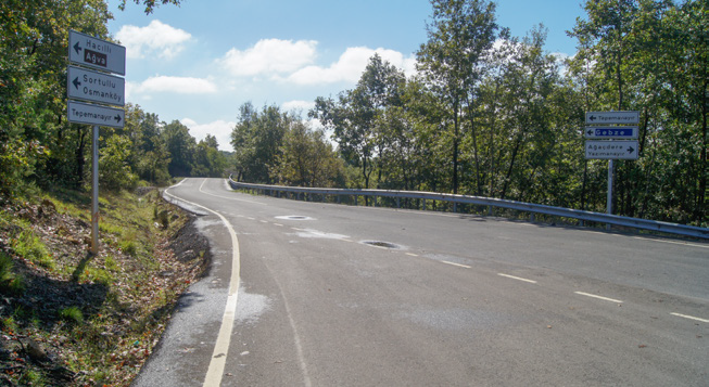
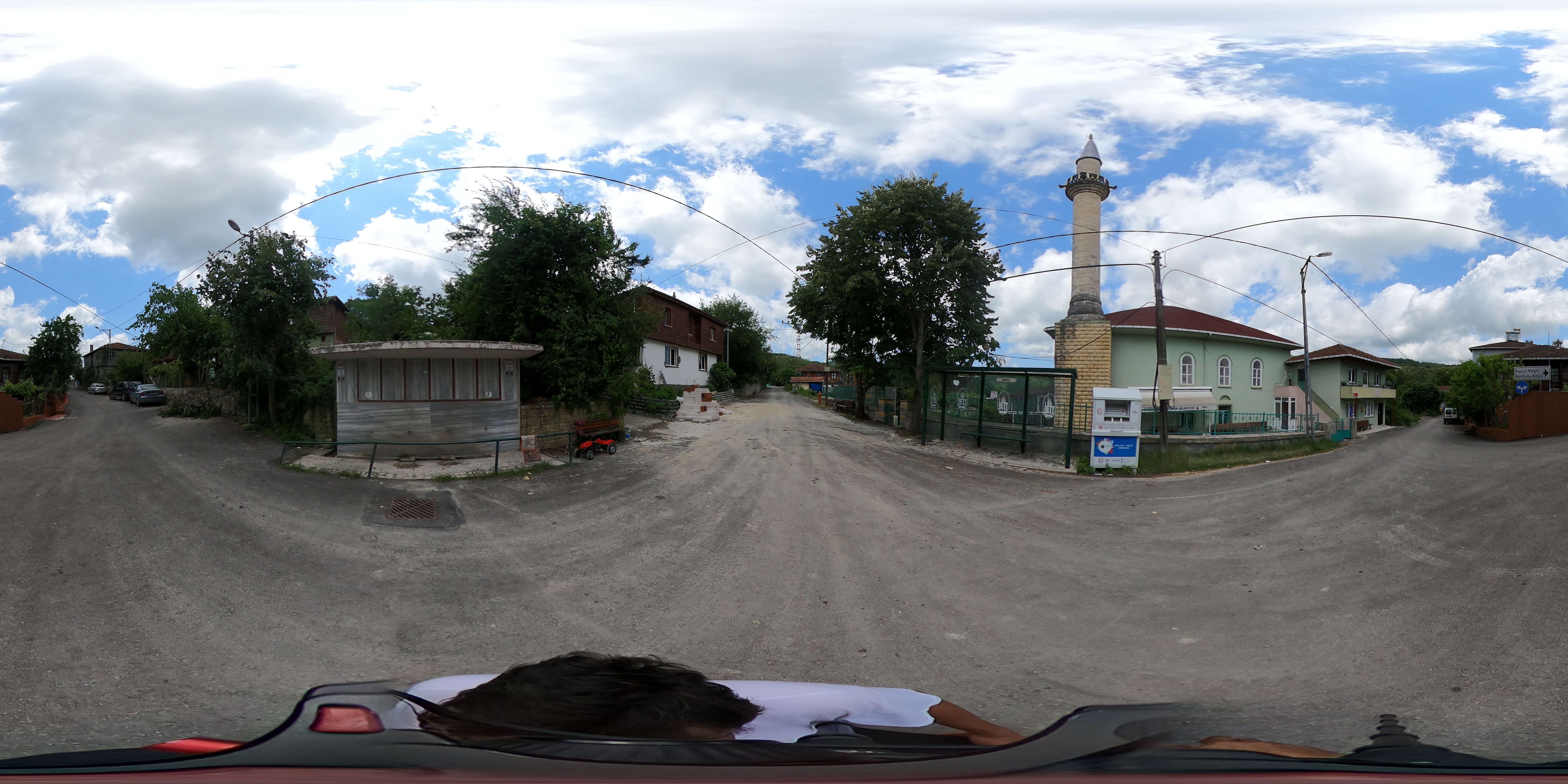
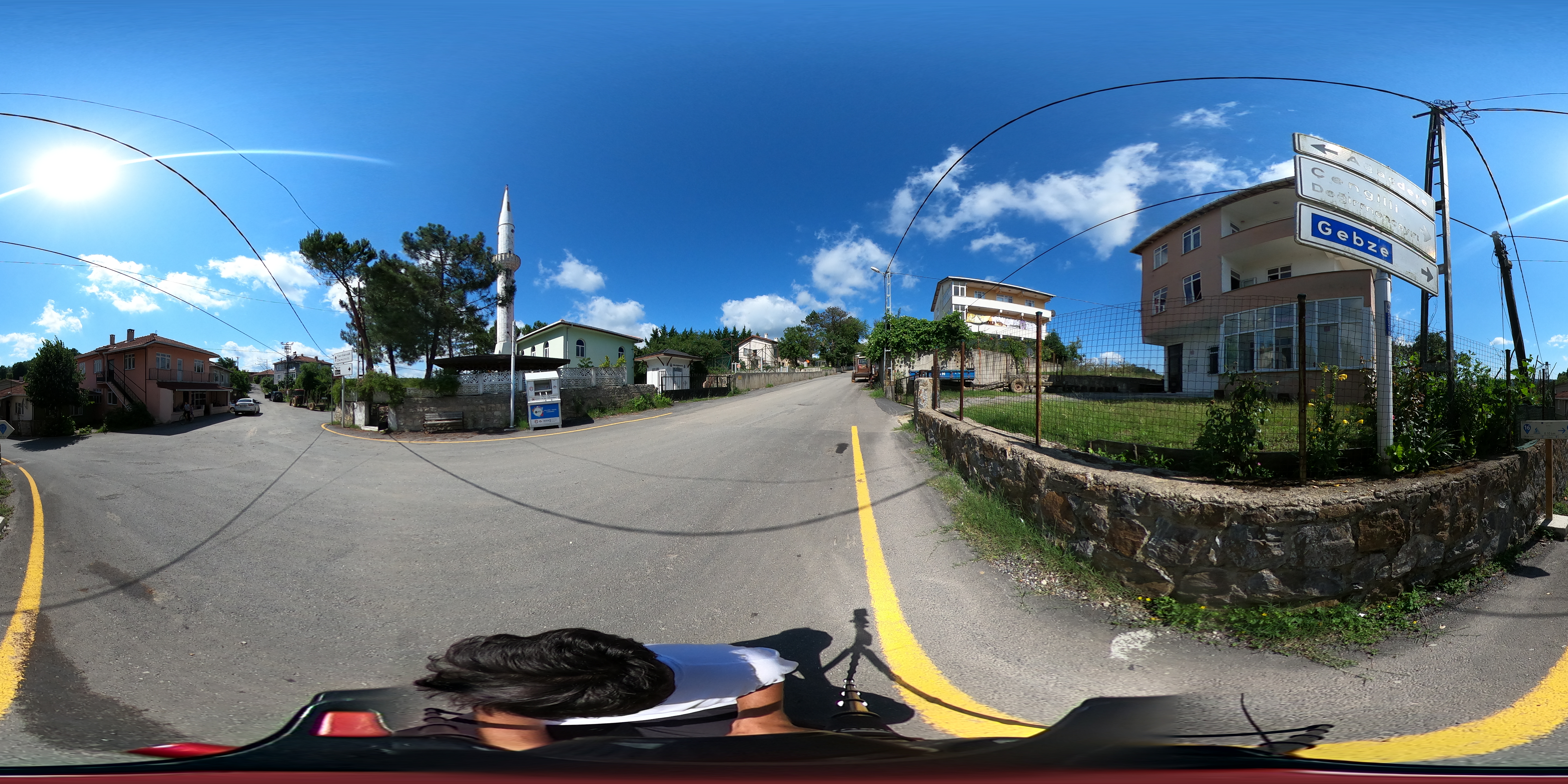
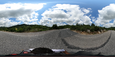
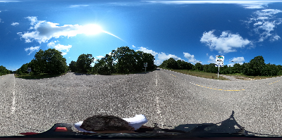
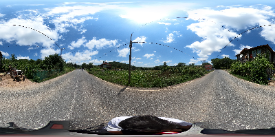
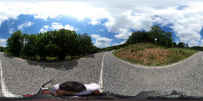
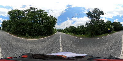
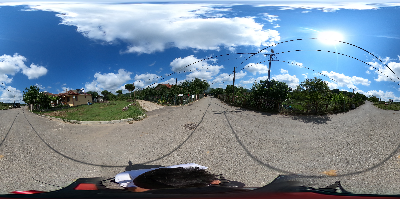
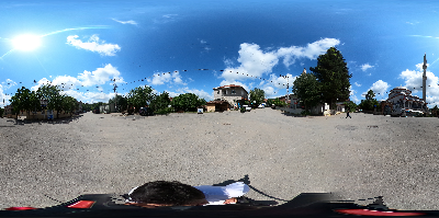
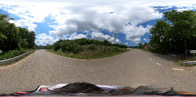
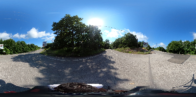
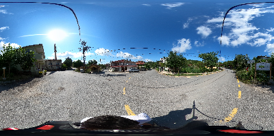
The trail continues downhill until the village of Ağaçdere, where signboard no 12 is located, after Tepemanayır crossroads, where signboard no 11 is located. The road, which continues straight for a short time after the village of Ağaçdere, requires a steep ascent up to the crossroads where the signboard no 13 is located. The distance between signboards no 12 and 13 is 2 kilometres. The road between signboards no 13 and 14 is a slightly inclined, bumpy but straight track. The stage between signboards no 14 and 15 passes through the highway between Teke village and Gebze. Here, attention should be paid to the traffic density. It is a downhillroad from the signboard no 15 to the sign boards no 16 and 17 in the Hasanlı village square. There is a grocery store and village coffee house in Hasanlı village square where you can meet your needs.
The difficulty level of the track
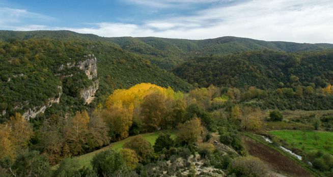
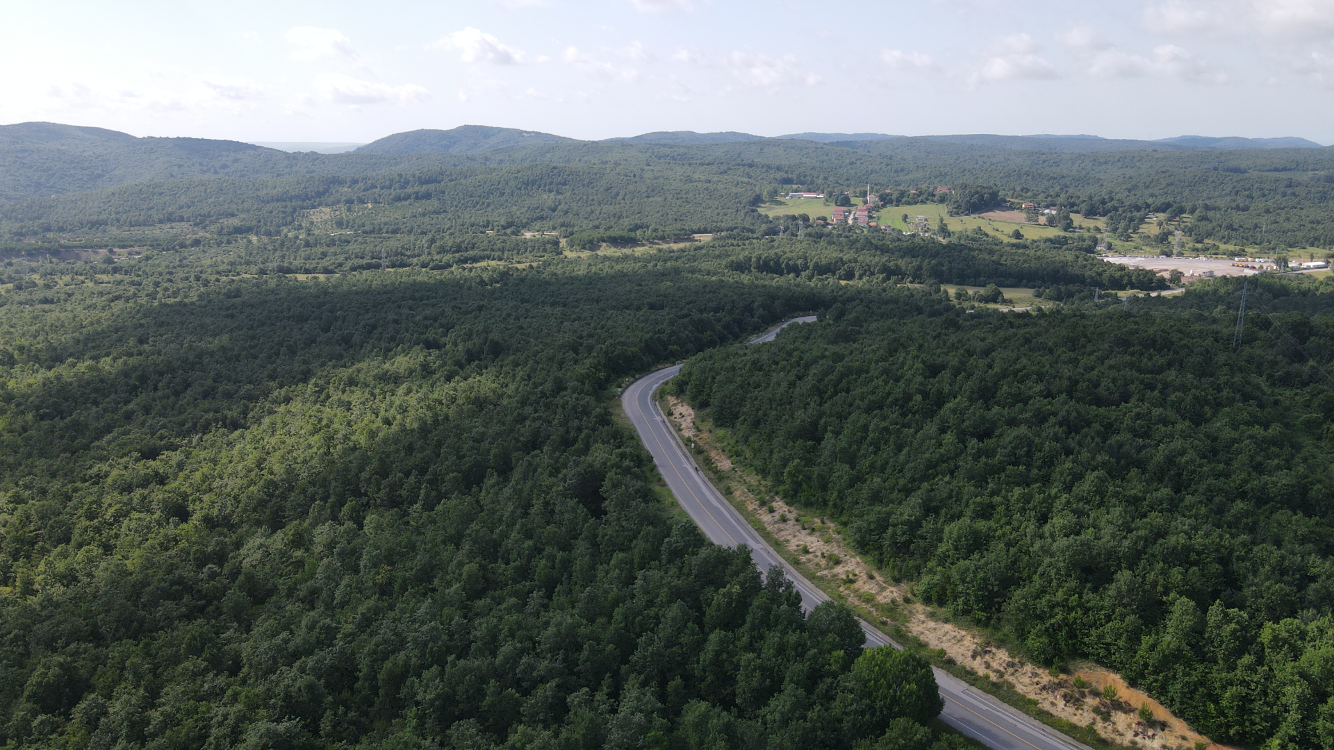
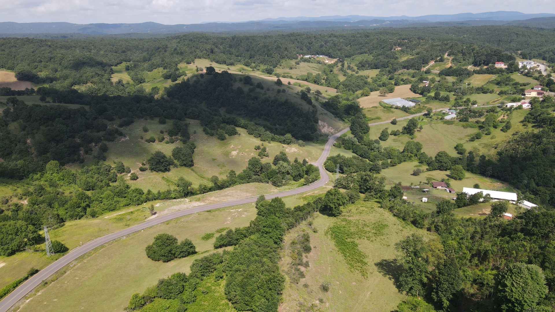
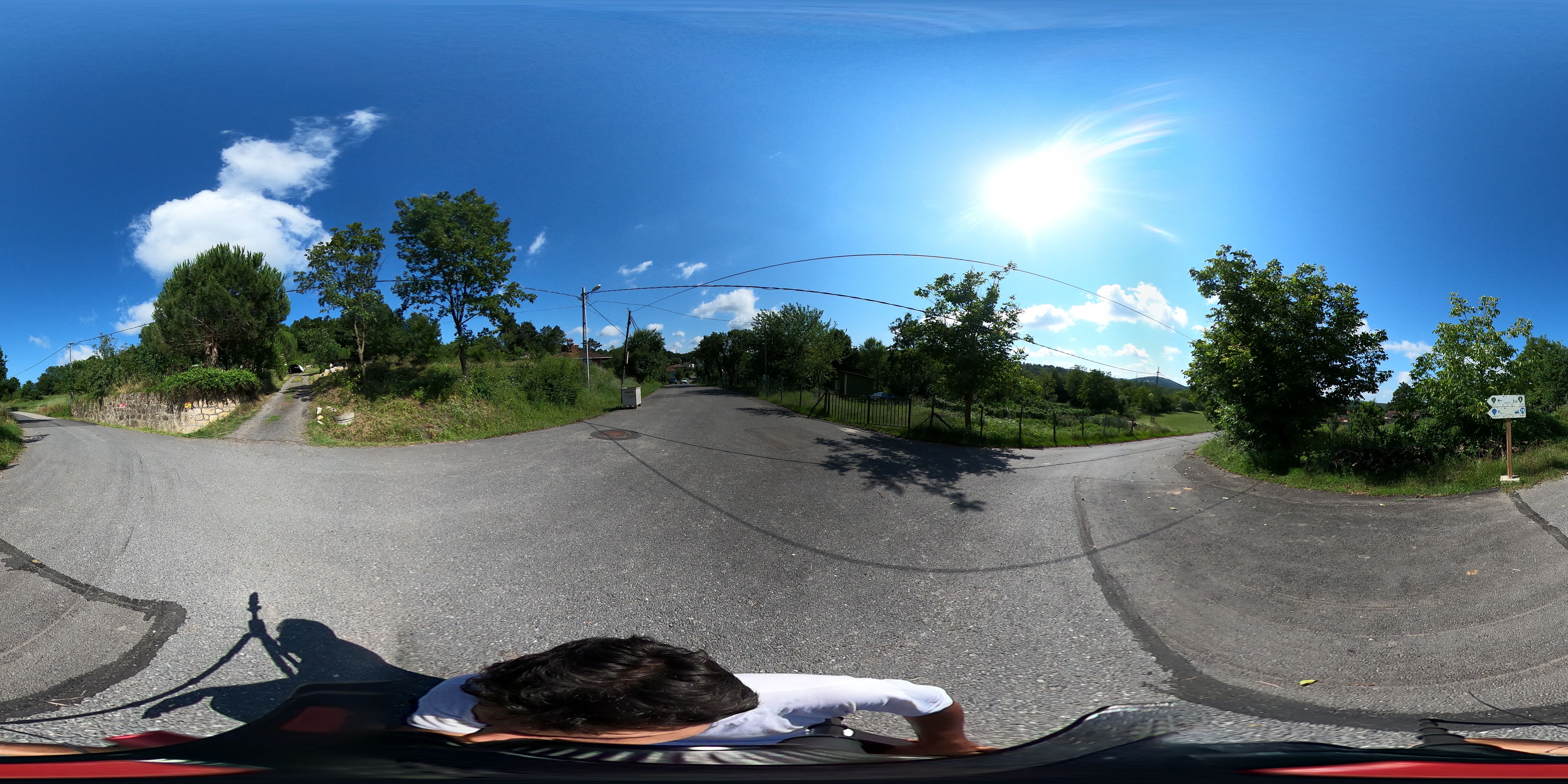
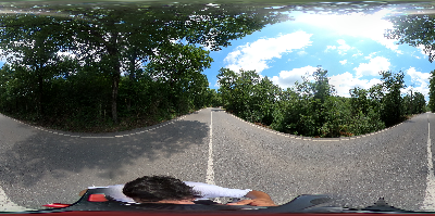
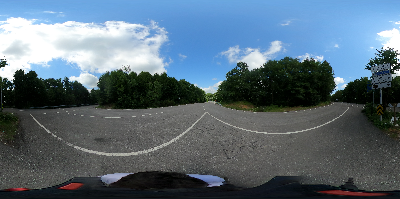
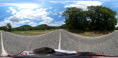
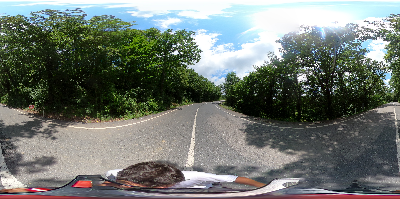
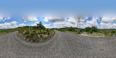
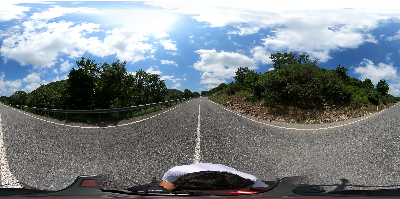
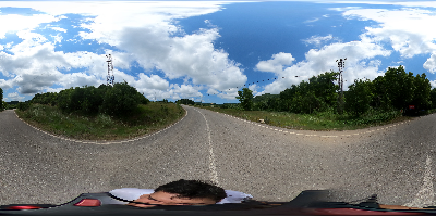
The difficulty level of the track with a total length of 45 kilometres may vary depending on the individual performance of the riders and climatic conditions. Since the large part of the trail passes through the valley and forest areas, it is protected against the wind, except for a few points. At any point of the track, the road surface is not soil. Except for the main highways where the trail intersects in between, traffic density is not seen even on weekends. The sections that intersect with main roads can be busy in spring and summer, especially on weekends. If the entire track is challenging in terms of performance, it is possible to reach the Sortullu village from the crossroads points where the signboards no 7 and 10 are located and then take a short tour to the village Teke. Alternatively, you can reach the Yazımanayır village from the crossroads where signboard no 13 is located, and you can reach the Teke village from there.
TRACK 18-21
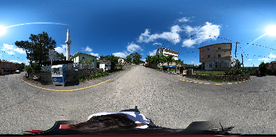
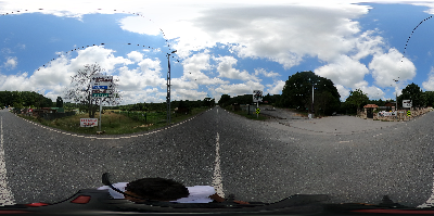
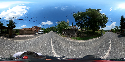
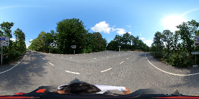
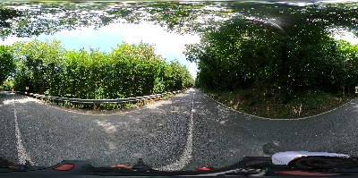
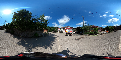
The 2 km track that starts straight after the Hasanlı village is connected to the Sarıkavak village square, where the sign-board no 18 is located, by an uphill climb. The road continues straight from the Sarıkavak village to the Demircili village. After the Demircili village, there is a slight climb to the crossroads where signboard no 20 is located. Starting from the sign-board no 20, the section up to the arrival point in the Teke village passes through the road between the Teke village and Gebze. In this part, it is necessary to be careful according to the traffic density.
Visiting Points
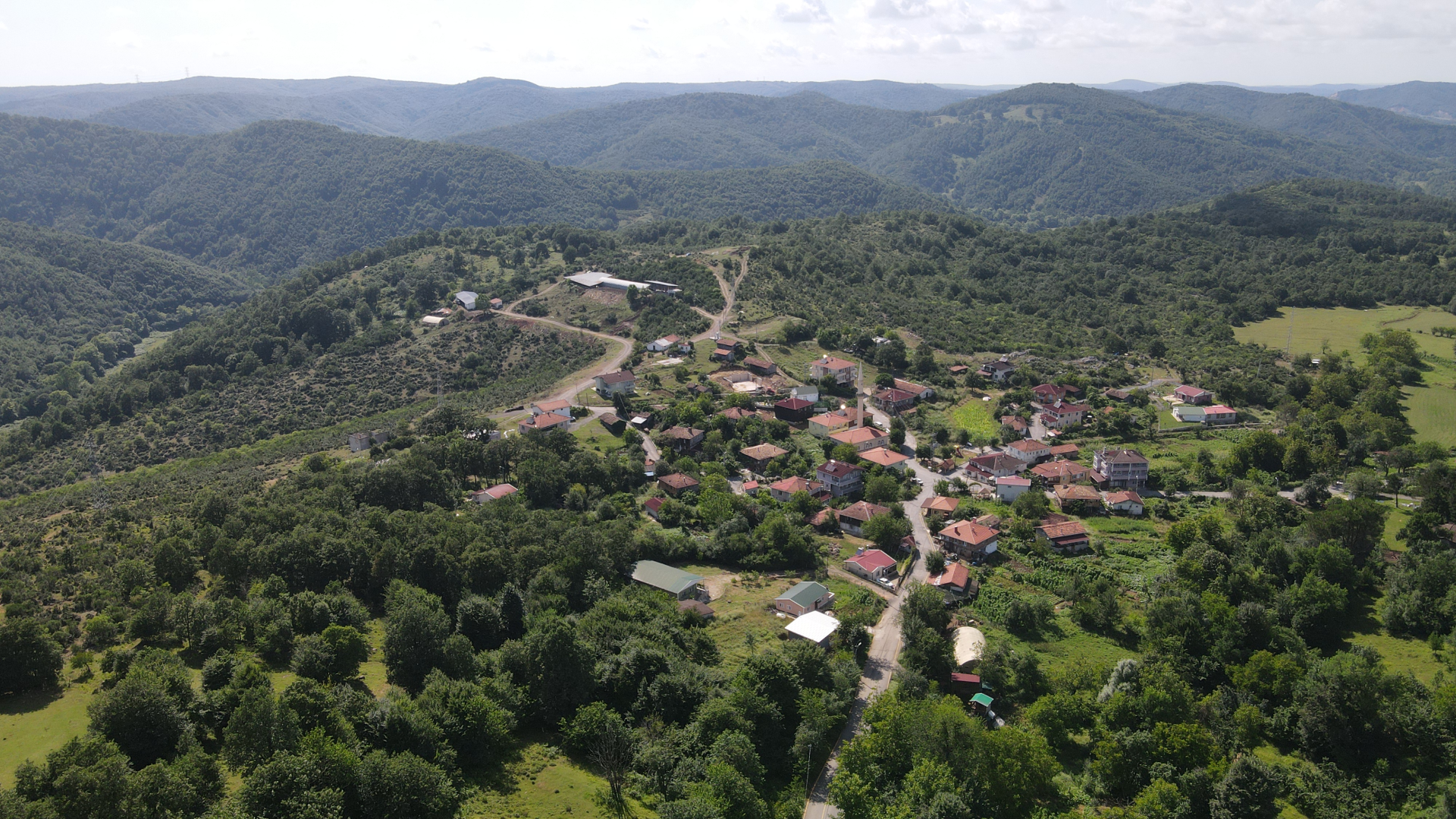
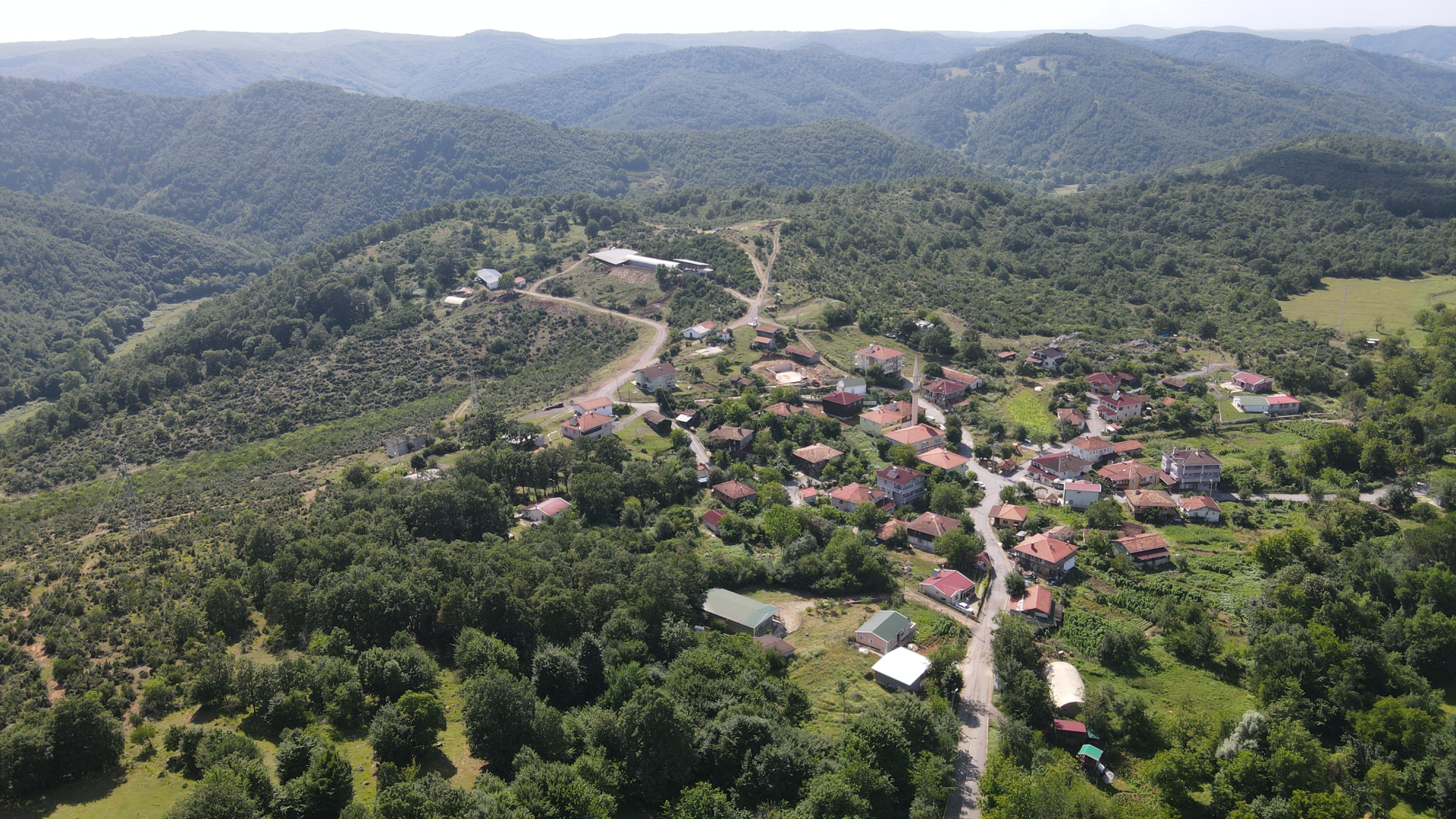
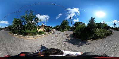
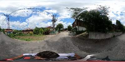
Rural settlements along the track are the villages of Istanbul that have preserved the traditional life best in many respects. These places are greengrocer villages of settled Yoruk ancestors. The track also passes through the best-preserved natural areas in Istanbul.
Teke Village (Tekke)
The history of the village, which is located on a high hill area, goes back 600 years to the time of Yıldırım Bayezid.
Yazımanayır Village
It is one of the greengrocery villages that has been homeland since the Orhan Bey period. You can buy mushrooms and honey.
Hacıllı Village
A large part of the village earns its living from charcoal production. It is also known as the nature park of Şile. There are waterfalls, ponds and many areas suitable for camping. Rock climbing is popular.
Köyün büyük bir bölümü geçimini mangal kömürü üretiminden kazanıyor. Şile’nin doğa parkı olarak da biliniyor. Çevresinde şelale, göletler ve kamp kurmaya müsait birçok alan var. Kaya tırmanışı popülerdir.

Interactive Map
-
Starting Point
-
Starting Point
-
Starting Point

-
Starting Point
-
Starting Point
-
Starting Point
-
1
-
1
-
1
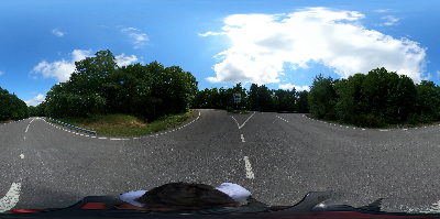
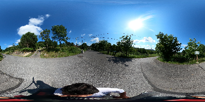
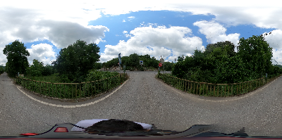
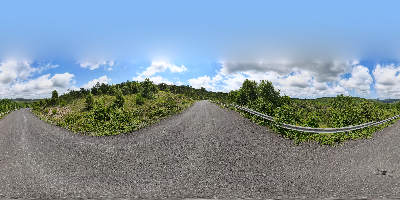
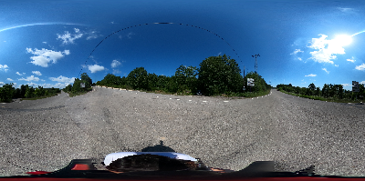
360o Panaroma


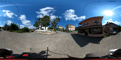
See More
Saklıgol Cycling Trail
Read