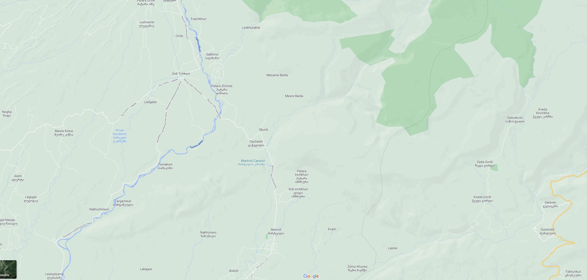
About District
Fabulous Nature of Martvili
Ecotourism and related activities have gained popularity across the world in recent years. This was preconditioned by the large-scale anthropogenic impact on the environment and the scarcity of pristine areas, making wildlife more attractive. According to the International Union for Conservation of Nature (IUCN), ecotourism is defined as the “Environmentally responsible visiting of relatively unspoilt natural areas, in order to enjoy and appreciate nature (and any accompanying cultural features - both past and present), that promotes conservation, has low negative visitor impact, and provides for beneficially active socio-economic involvement of local populations”. Consequently, ecotourism differs from conventional tourism and this report will adhere to the concept of ecotourism. In addition, the requirements and standards of the Technical Regulation N475 of the Government of Georgia of October 19, 2016 on Planning and Marking Hiking Trails will be taken into consideration.
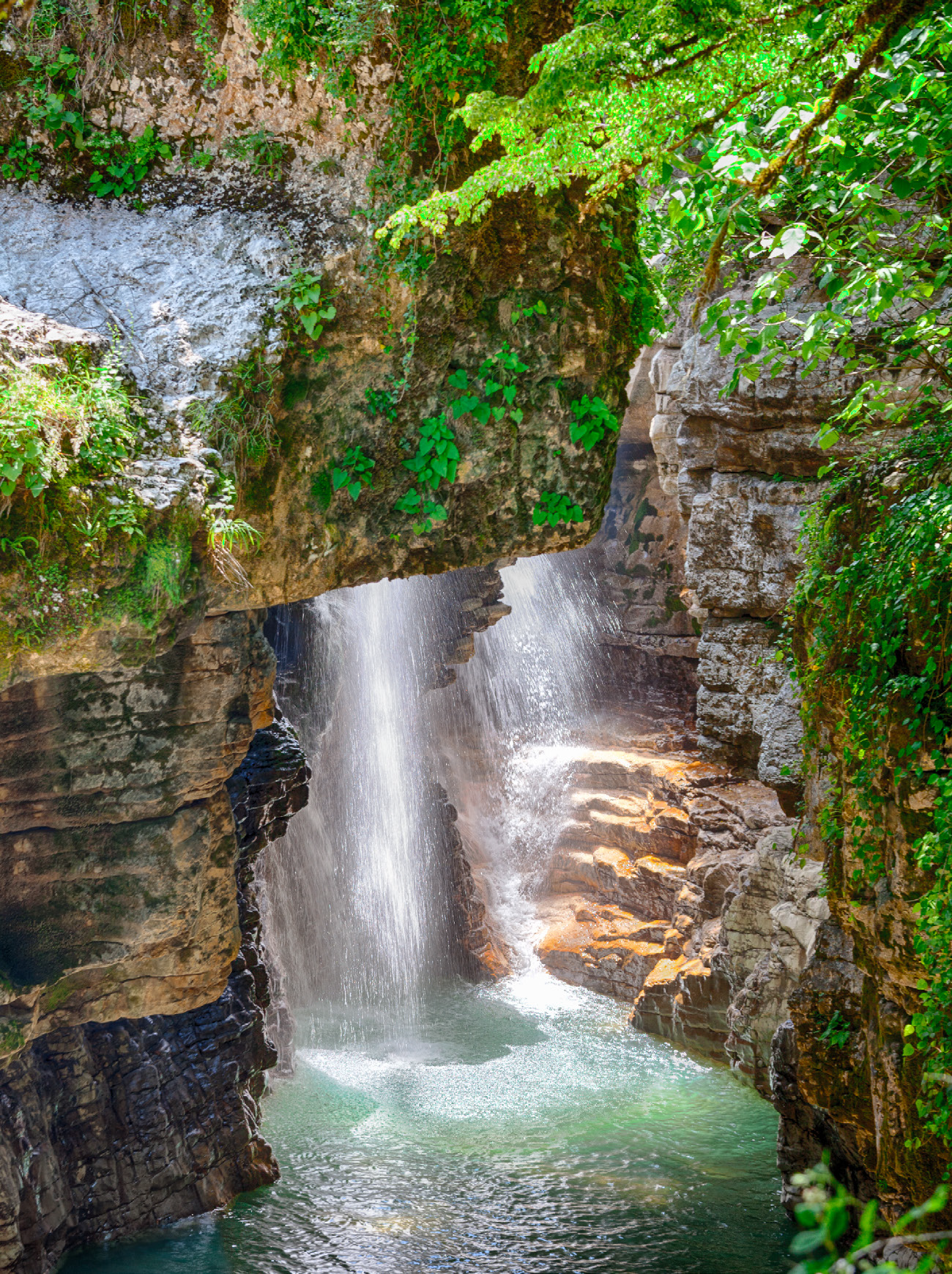
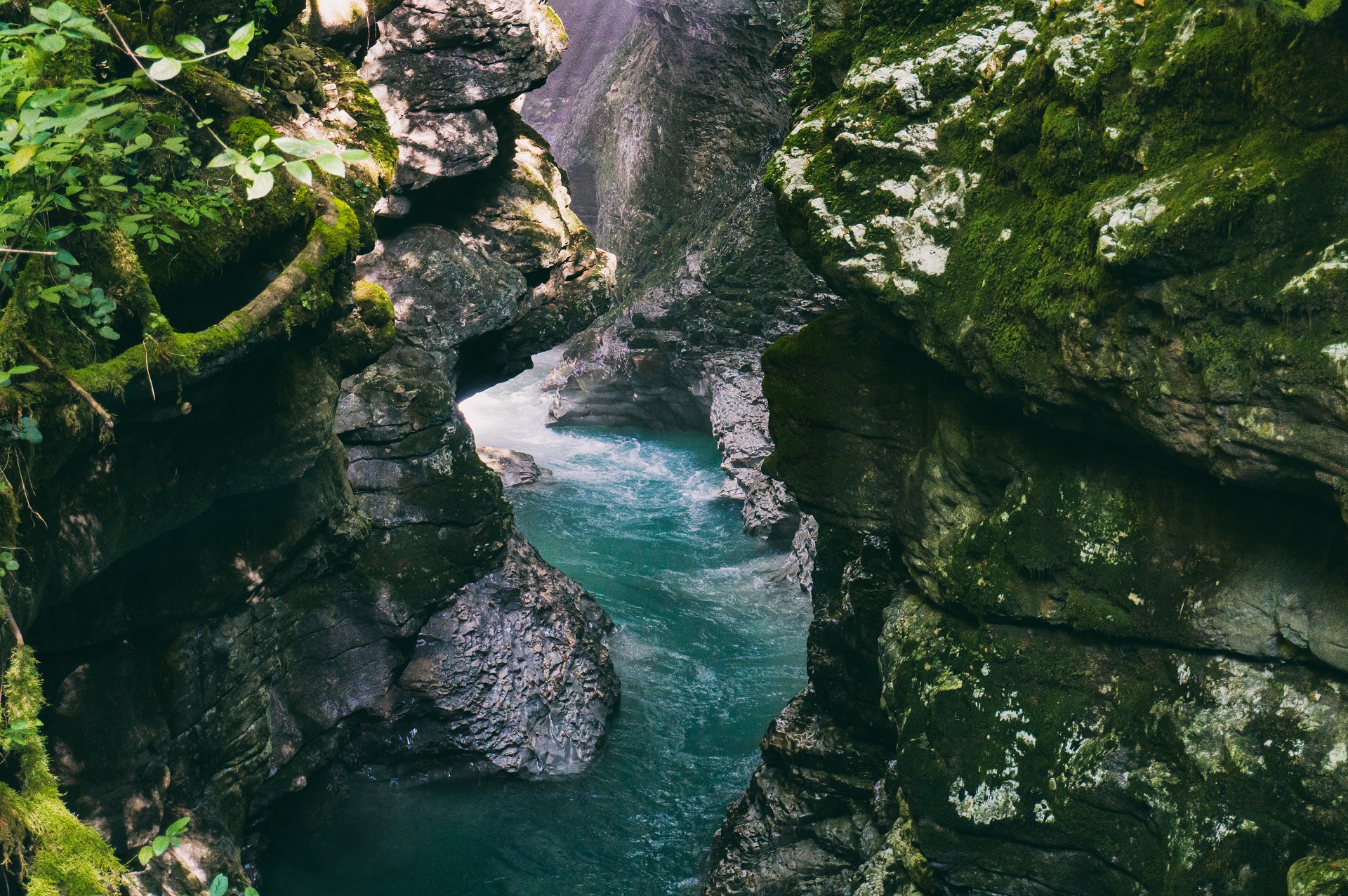
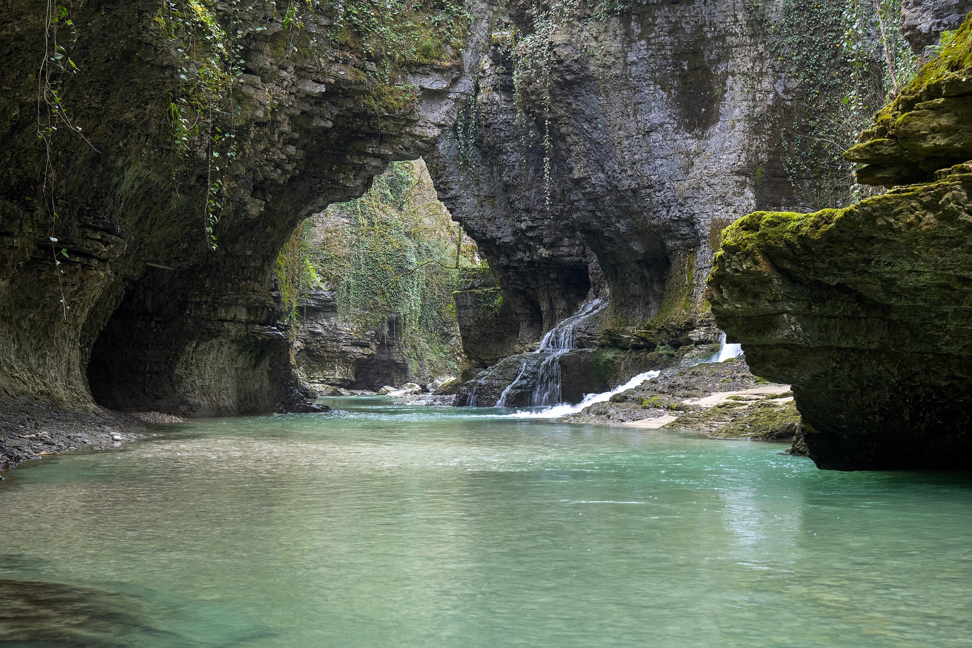
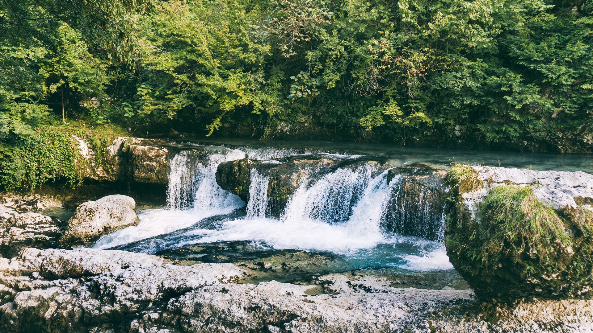
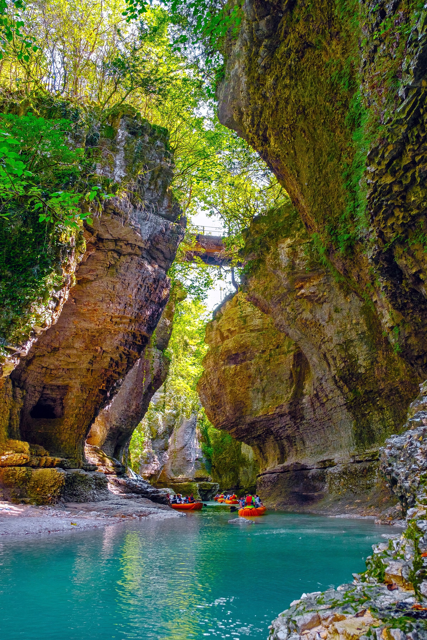
The municipality has beautiful nature, with characteristic karst terrain, caves, waterfalls and unique biodiversity. The area features seven protected areas with the status of natural monuments (III IUCN category). These include Martvili Canyon Natural monument, Balda Canyon Natural monument, Tobi Waterfall Natural Monu-ment, Oniore Waterfall Natural Monument, Ochkhamuri Waterfall Natural Monument, Abasha Waterfall Natural Monument and Jortsku Cave.
The role of natural monument is to protect relatively small, but unique natural areas and rare natural and natural-cultural formations of national importance. Martvili municipality is also covered by the areas of Samegrelo Planning National Park and emerald network sites. All of the above indicate the high conservation value of nature in Martvili municipality, as well as high potential of ecotourism development.
Protected areas are one of the major factors contributing to the development of ecotourism. One of the noticeable examples of ecotourism development in Martvili municipality is Martvili Canyon, which has won the Landscape Convention competition under the Council of Europe due to its successful management and contribution to municipal development.
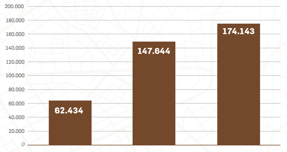
Martvili Canyon Visitation Statistic by Years
The number of visitors to the canyon increases every year, which has a positive impact on the socio-economic development of the municipality population. On the other hand, large number of visitors is beneficial for the country as well. If we look at the Martvili Canyon visitation statistics over the last 3 years, it is noticeable how well ecotourism is developing in Martvili Municipality.
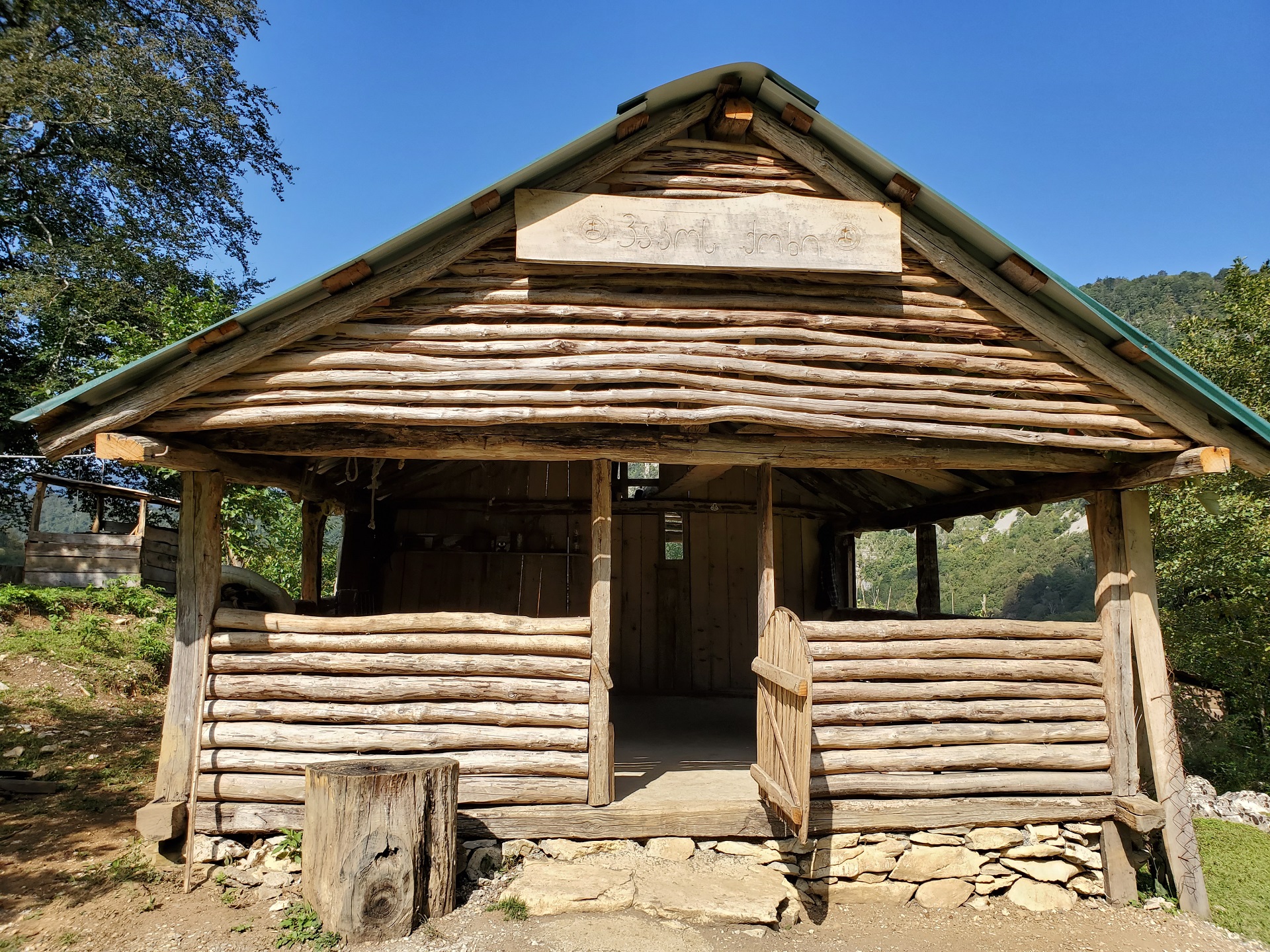
Visitors of the municipality can enjoy other sightseeing as well, including those parts that do not have status of protected areas. However, the number of visitors in those parts, compared to the Martvili Canyon, is significantly smaller.
From the analysis of the data we can say that the majority of tourists in Martvili municipality are, in most cases, only a one-day visitors, who visit the Martvili Monastery, the canyon and leave the municipality on the arrival day.
Only a very small percentage of tourists stay overnight in different types of hotels. One of the reasons for this is that most of the tourists arriving in the municipality do not have complete information on the sightseeing they can visit. In addition, various ecotourism areas are not well equipped, there are no marked tourist trails and in most cases it is impossible for the visitors to travel without the guides.
The Caucasus Development Fund implemented the Developing Ecotourism Net in Black Sea Region Project (BSB79) for the above reasons. The project aims at attracting more visitors to the territory of the Martvili municipality through developing ecotourism infrastructure, contributing to sustainable tourism development in an eco-friendly environment, extending the time spent in municipality by the visitors, improving socio-economic conditions of the local population and leading to other positive results, both within the municipality and throughout Georgia.
Two hiking, two educational and two bicycle trails are planned to be developed in Martvili municipality within the framework of this project. In addition, recreation areas and a bird watching tower will be arranged. For this purpose, the locations were identified as a result of field and cameral work, as described in this report. This will serve as a basis for developing infrastructure in the future.
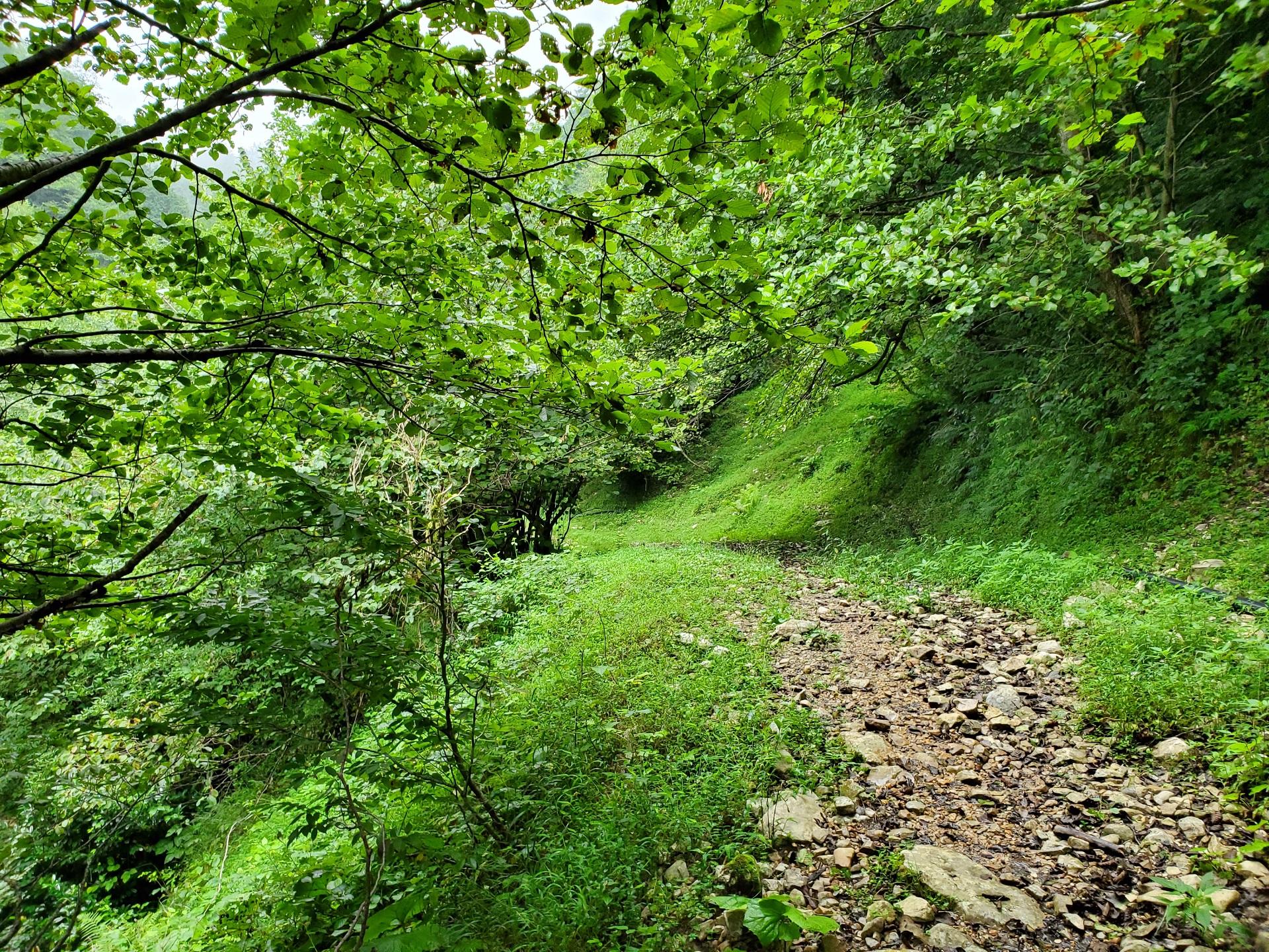
During the research many areas have been identified in the Martvili municipality, where the hiking trails can be arranged. Each of the alternatives that differ in complexity, distance, route type (transverse, one-sided, circular) as well as biodiversity and terrain adjacent to trails were analyzed, among other important factors. When selecting hiking trails in Martvili Municipality, presence of many alternative routes have led to the identification of the best areas.
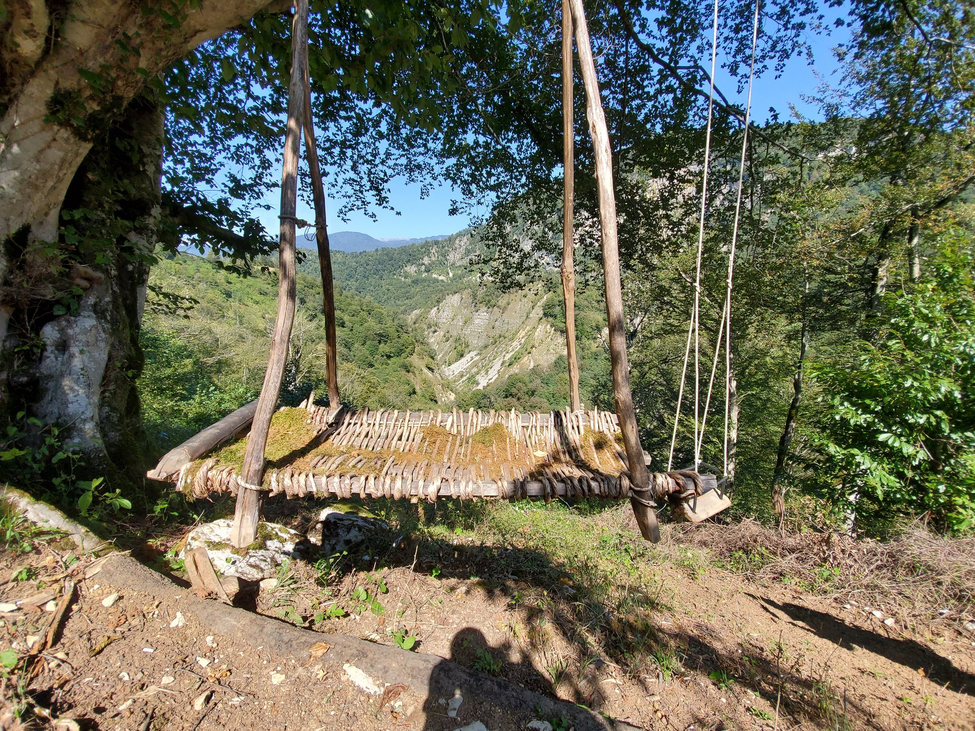
Along the selected trails there are several places, where development of recreational areas – picnic spots is needed. The area for the bird watching tower, requested by the project was also selected. Considering that the Martvili municipality is not a bird migration corridor and is not distinguished by the diversity of ornamental fauna, attention has been paid to the area where birds of prey, including vultures, have been observed. The focus was also on positioning the platform to ensure better views, which would be attractive and interesting for the visitors.
The report includes detailed descriptions of each selected area, photographs, spatial data and all the information necessary for implementation of the project in the future.