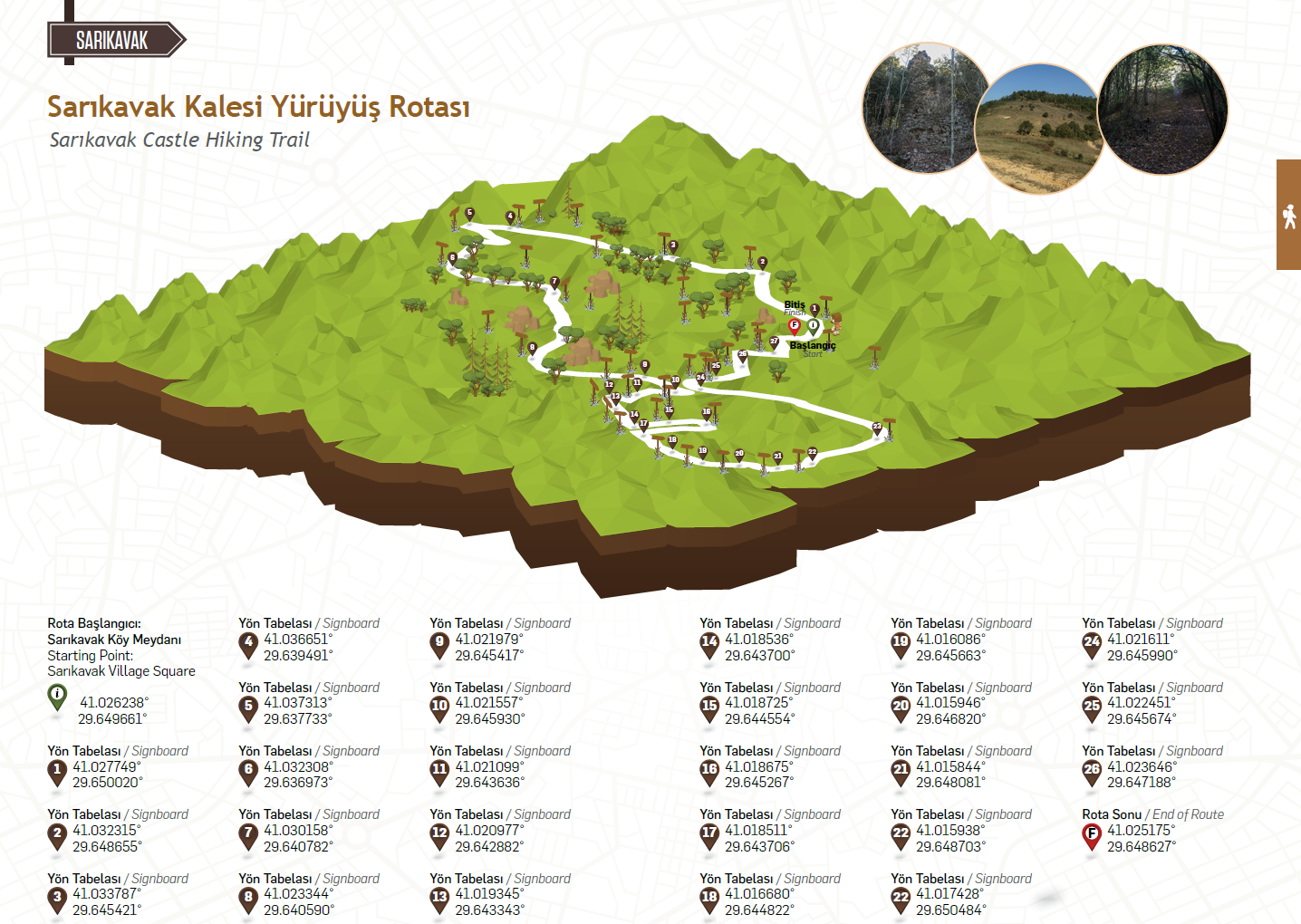
Sarikavak Castle Hiking Trail
Posted by : systemadmin@ecotournet.net on 09.May.21
Last update by : TRadmin@ecotournet.net on 27.Oct.21
Sarıkavak Castle Hiking Trail
Length
7,7 Kilometers
At an average pace
5 hours
TRACK 1-9
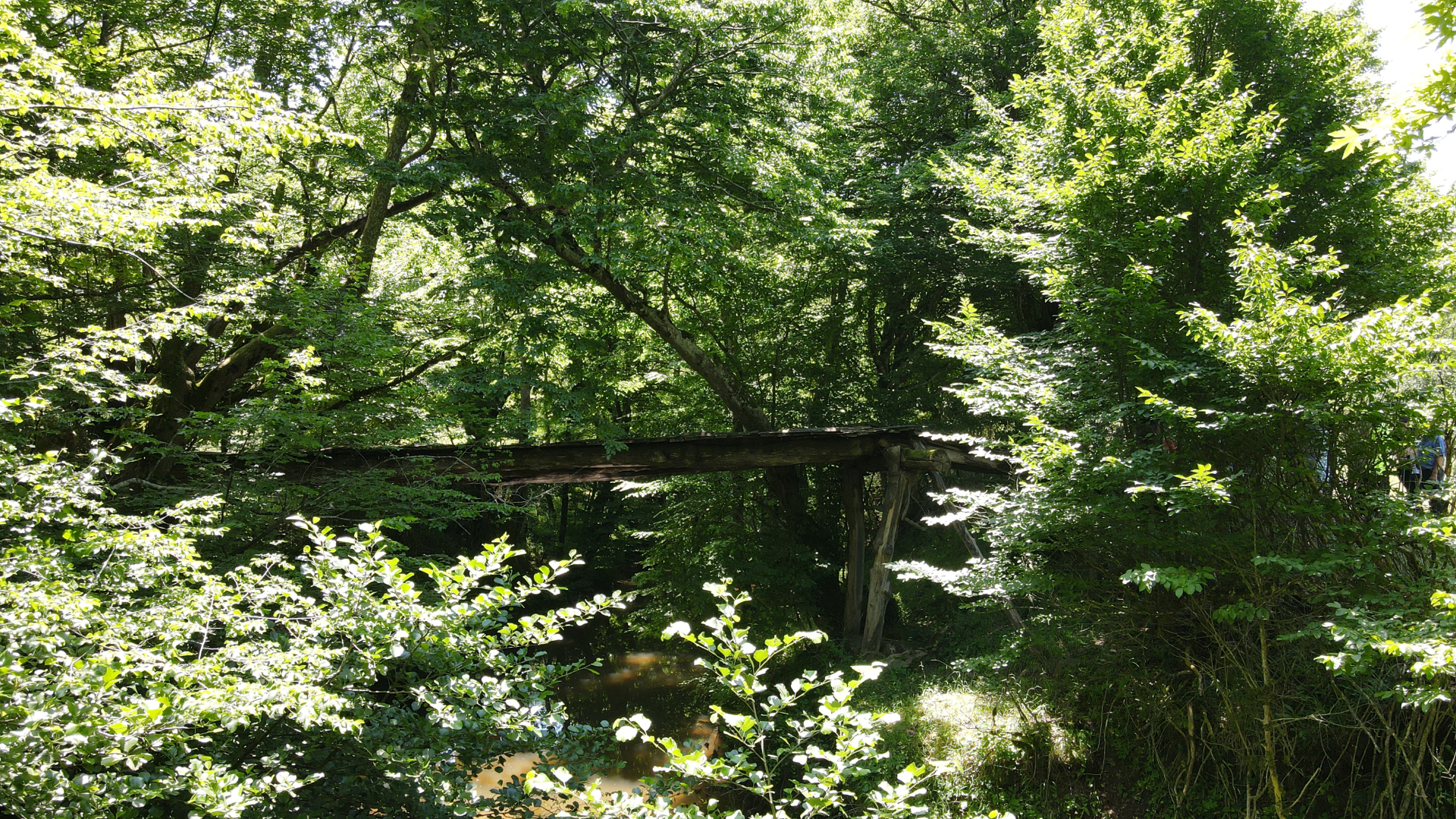
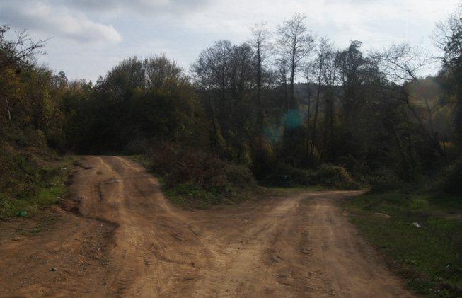
Starting from Sarıkavak village square and crossing an ancient Roman road, the trail visits Sarıkavak Castle and circles towards an abandoned water mill, reaching the village square again. The track starts from the square in Sarıkavak, where the village mosque is also located. This part starts from the asphalt road and the earth forest road is reached from the signboard no 2. The road, continuing straight for a while, then will start to descend to a big valley. If you continue on the road that turns left after the signboard no 4 in the section where the descent begins, you will arrive at a working water mill 50 meters away. Just below, there is a waterfall that flows enthusiastically, especially in the spring, and is very pleasant to watch. The water forms the waterfall by rising to the surface from a spring in the upper part of the forest and flowing down the valley.
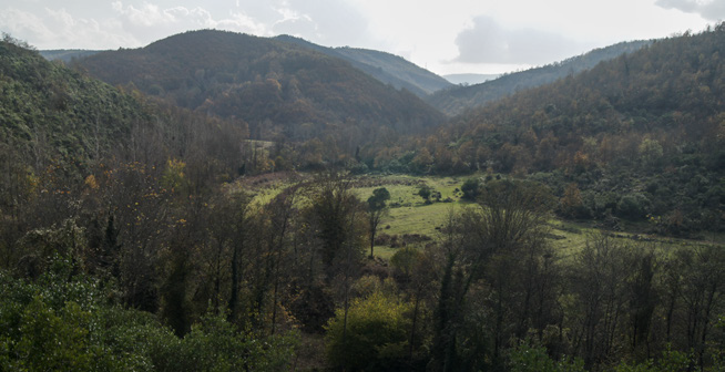

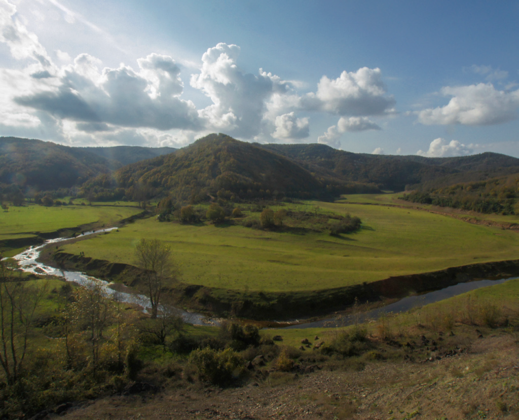
After visiting this place, return to the point where signboard no 4 is located and continue down the main earth road. At the point where the earth road descends to the valley floor, you will see here a large river flowing parallel to the road. This is the main branch of Darlık River that feeds Darlık Dam. The water of the river flows into the Black Sea from the centre of Şile after Darlık reservoir. The earth road, still forming the trail in this section, continues along the valley parallel to the river. You will walk until signboard no 9, with the river always on the right. Be careful because some parts of the road may be muddy during the rainy season. There are no ascends and descends until the last meadow, where the signboard no 9 is located. At this point, you need to cross the opposite side of the Darlık River. The shallow section used to cross over in rainy seasons may cause your feet to get wet. It is without any problem to cross over in the summer months.
TRACK 10-17
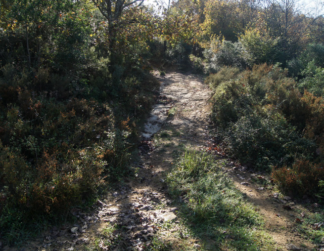
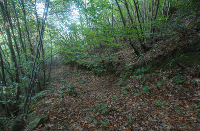
You will see the signboard no 10 right after crossing the river. This signboard also shows a mix of forest road and path, which is the most difficult part of the hiking and where you climb to the top of the mountain, where the castle is located. This stage can be very muddy in rainy seasons. The first stage of the climb will continue until signboard no 14. The signboard is the last meadow plain to reach the castle on the summit. After this point, you can continue next to the wide treasure pit where signboard no 15 is located and then you reach the summit of the hill and the remains of the castle located there. A very steep, 200-meter climb from signboard no 16 to the castle awaits you. It is not difficult as the ground is grass. After visiting the ruins, it is recommended to go back to signboard no 16 from the same road. This is also the point where the continuation of the hiking is marked and the descent begins from the signboard no 17. Walking down is not difficult for quite a while.
Visiting Places
Sarıkavak Castle that is the target of the route, is the principle visiting point. In the restored village mansion located in the village of Sarıkavak, rural women present local products and handicraft products, which they produce, for sale.
Who is the Trail for?
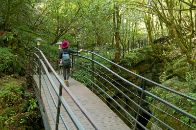
The Sarıkavak Castle trail is ideal for a daily hiking. If you do not have experience in hiking, it is recommended to do it with a guide.
TRACK 18-27
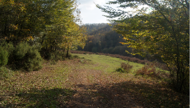
As you approach the valley floor, the path becomes imperceptible from the point where the signboard no 20 is located. There is a short but steep 50-meter section in the forest. It would be very muddy and slippery, especially in rainy weather, so be careful. Dense forest can prevent your progress and sight. This steep, short and descending section ends with a dry stream bed belonging to a valley. Here, the path to be continued is marked with the signboard no 21. The descent continues easily for a short time. You will see that you reach Darlık River valley again by passing through the wide path.
After passing the signboard no 22, the trail continues parallel to the River Darlık in the direction of flow. Signboard no 24 is also the crossing point of the creek that you were going to the castle. You will cross the creek again. The last stage of the hiking takes place from the signboard no 25, which is right across the pass. The last stage is a wide forest road once opened by a bulldozer. It consists of a short but steep 500-meter climb to Sarıkavak village. Although the floor is rough in some parts, it is not challenging. The climb becomes straight after reaching the houses of the village Sarıkavak. If you follow the road inside the village, you will reach the starting point of the trail.
The Difficulty of the Trail
The trail is on difficulty level 3. It can be challenging in winters and rainy weather. You should not see the trail as a short walking in the forest. You should have sufficient personal equipment and should not set off without considering daily needs. The most critical point to keep in mind is that there is no source of clean drinking water along the trail.
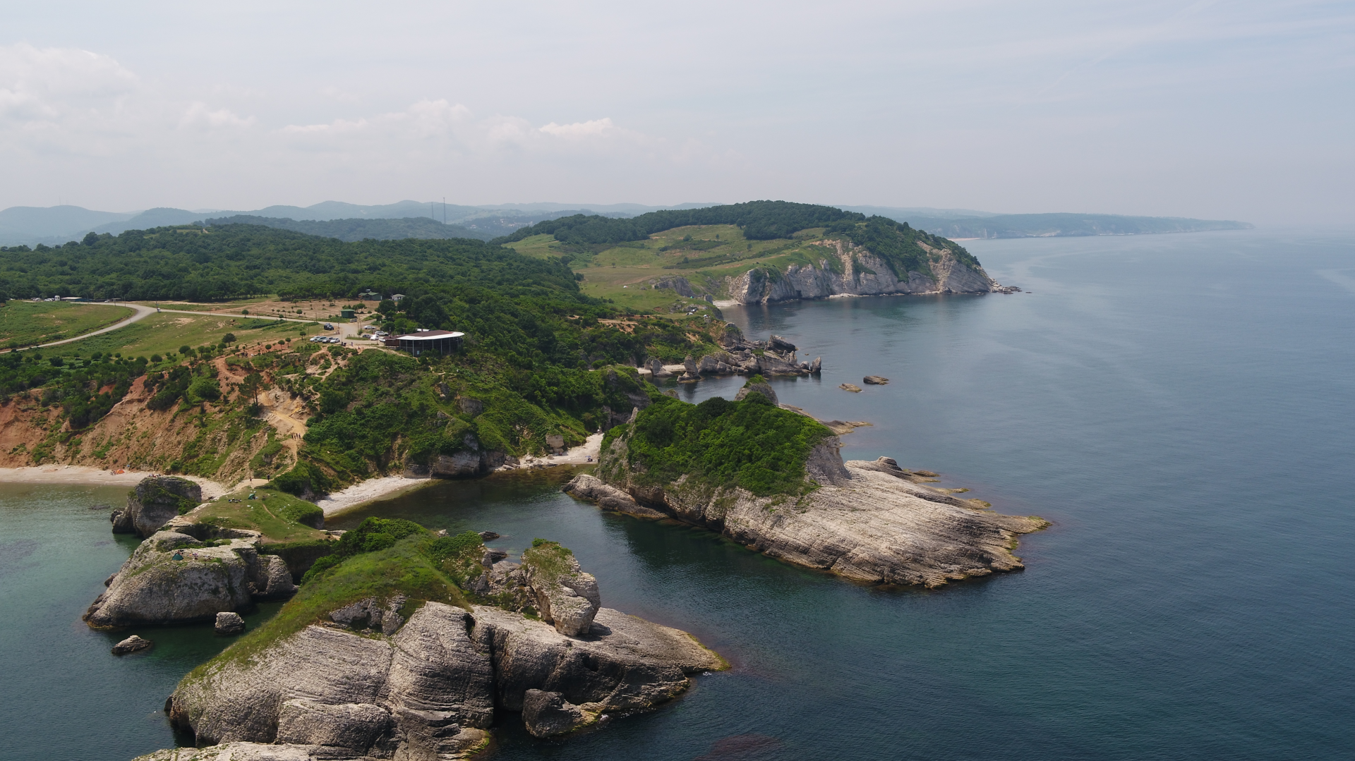
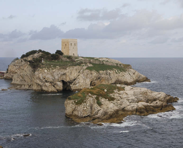
Sarıkavak Castle
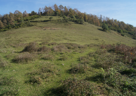
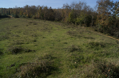
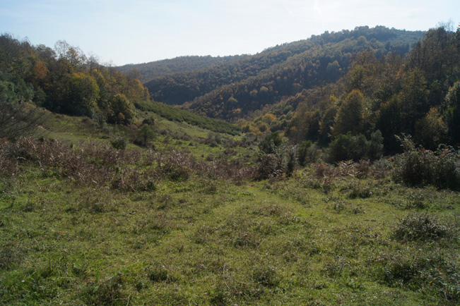
Sarıkavak Castle is located approximately 19 kilometres south of the centre of Şile. Its name comes from the nearby village Sarıkavak. There are almost no documents about the castle. Although Sarıkavak Castle appears to have been swallowed by the forest at first, you can clearly see its borders and four bastions along the fortification. The castle was built to the south of Sarıkavak village, on the top of a steep hill dominating the geography. The main branch of the Şile Creek that flows toward Darlık Dam passes through the valley floor below. An ancient road, which is still being used by the villagers and runs from Şile to the southwards and is easily noticeable, passes on the opposite hillside. According to ancient sources, the route connecting Artane, namely Şile, to Nicomedia (İzmit) and Dakibyza (Gebze) passes here. Not so much, 50-60 years ago, countryside was using this road more. The times when the charcoal, which is the livelihood of the region today, was transported to Izmit and Şile ports with animals is not very far.
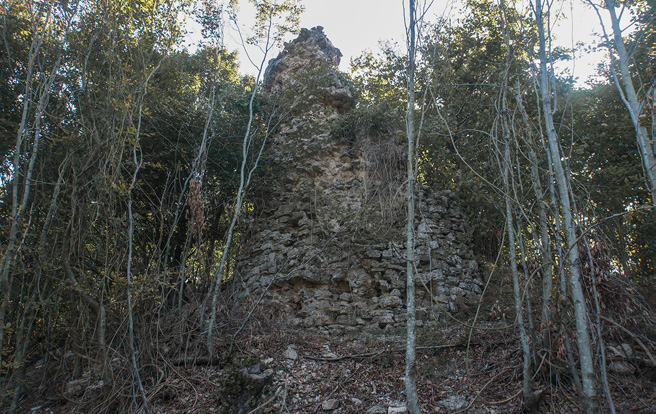
Sarıkavak Castle is the only building that the remains of which are present and that has a symbol of domination and military equipment in this region.
Şakayık (Peony) Festival
The “peony flower”, which grows in a natural environment and colours the region by spring, is celebrated with the festivities held in early May every year in the village of Sarıkavak. Istanbul peony (Paeonia peregrina) is among the nine-peony species that grows naturally in Turkey. Efforts are underway to protect the peonies, which are called “zombak” in the region, in their natural habitat.
The castle seems as if it was built in one go. It is understood that there was no other structure here before since no re-used stones were used in its construction. Castle walls with an oval plan of 150x70 metres and its solid tower standing on the west side indicate that the structure was built for defence. The castle is the most prominent Late Byzantine Age structure in the old Bithynia region in this geography. It can be said that this huge building was built to control the trade route below; however, details should be studied more carefully. Some historians claim that Şile and its surroundings were ruled by the Seljuks in the 11th century, based on the 13th century Dânişmendnâme. Sarıkavak Castle is the only building that the remains of which are present and that has a symbol of domination and military equipment in this region.
Interactive Map
-
Starting Point
-
Starting Point
-
Starting Point
-
1
-
1
-
1
-
1

-
2

-
2
-
2
-
3
-
3

-
3

-
3
-
3
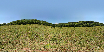
360o Panaroma

See More
Yeniköy Hiking Trail
Read